1208 Hale Dr Wharton, NJ 07885
Estimated Value: $340,000 - $387,000
1
Bed
2
Baths
995
Sq Ft
$371/Sq Ft
Est. Value
About This Home
This home is located at 1208 Hale Dr, Wharton, NJ 07885 and is currently estimated at $369,400, approximately $371 per square foot. 1208 Hale Dr is a home located in Morris County with nearby schools including Catherine A. Dwyer Elementary School and Copeland Middle School.
Ownership History
Date
Name
Owned For
Owner Type
Purchase Details
Closed on
Feb 24, 2017
Sold by
Hardt Robert J and Mcgowan Patricia Mcgowan
Bought by
Healy Didi M
Current Estimated Value
Home Financials for this Owner
Home Financials are based on the most recent Mortgage that was taken out on this home.
Interest Rate
4.16%
Purchase Details
Closed on
Apr 29, 2013
Sold by
U S Home Corp
Bought by
Mcgowan Patricia
Home Financials for this Owner
Home Financials are based on the most recent Mortgage that was taken out on this home.
Original Mortgage
$231,752
Interest Rate
3.57%
Mortgage Type
New Conventional
Create a Home Valuation Report for This Property
The Home Valuation Report is an in-depth analysis detailing your home's value as well as a comparison with similar homes in the area
Home Values in the Area
Average Home Value in this Area
Purchase History
| Date | Buyer | Sale Price | Title Company |
|---|---|---|---|
| Healy Didi M | $245,000 | -- | |
| Mcgowan Patricia | $243,950 | North American Title Ag |
Source: Public Records
Mortgage History
| Date | Status | Borrower | Loan Amount |
|---|---|---|---|
| Closed | Healy Didi M | -- | |
| Previous Owner | Mcgowan Patricia | $231,752 |
Source: Public Records
Tax History Compared to Growth
Tax History
| Year | Tax Paid | Tax Assessment Tax Assessment Total Assessment is a certain percentage of the fair market value that is determined by local assessors to be the total taxable value of land and additions on the property. | Land | Improvement |
|---|---|---|---|---|
| 2025 | $7,377 | $306,600 | $130,000 | $176,600 |
| 2024 | $7,137 | $287,700 | $120,000 | $167,700 |
| 2023 | $7,137 | $272,000 | $115,000 | $157,000 |
| 2022 | $7,115 | $259,700 | $110,000 | $149,700 |
| 2021 | $7,115 | $250,700 | $107,500 | $143,200 |
| 2020 | $6,960 | $245,000 | $105,000 | $140,000 |
| 2019 | $6,493 | $227,600 | $90,000 | $137,600 |
| 2018 | $6,494 | $224,000 | $85,000 | $139,000 |
| 2017 | $5,835 | $186,900 | $59,000 | $127,900 |
| 2016 | $5,760 | $186,900 | $59,000 | $127,900 |
| 2015 | $5,719 | $186,900 | $59,000 | $127,900 |
| 2014 | $5,613 | $186,900 | $59,000 | $127,900 |
Source: Public Records
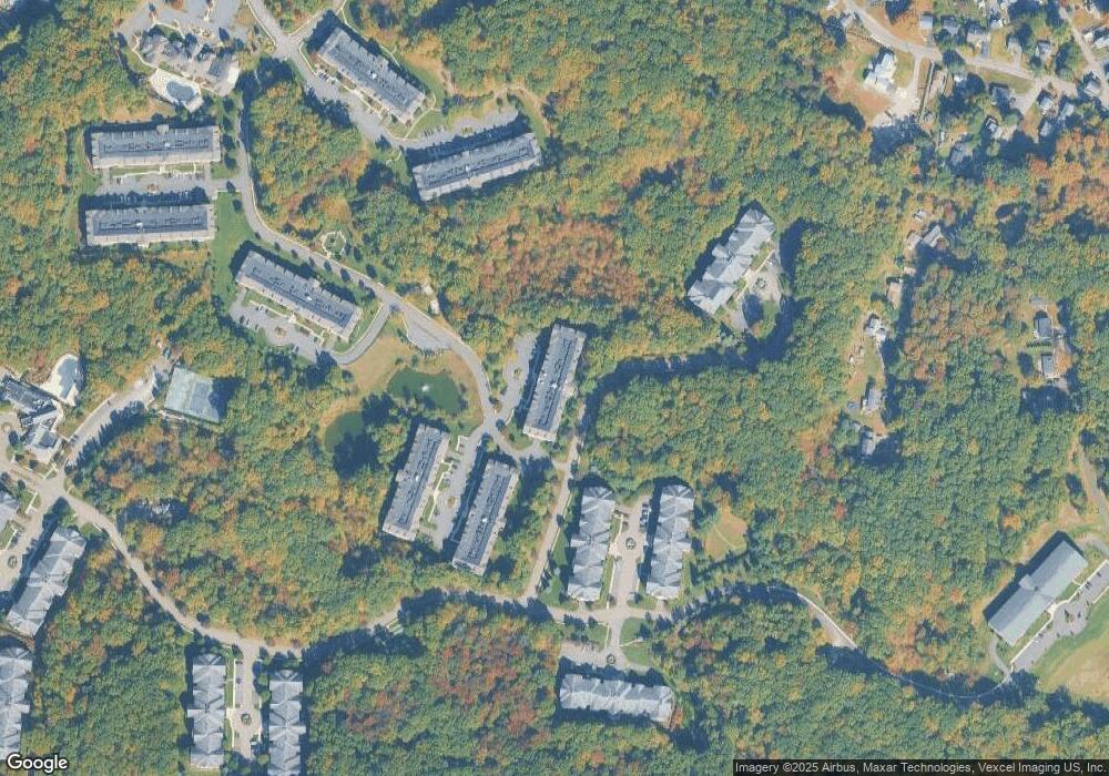
Map
Nearby Homes
- 1110 Johnson Dr
- 1109 Johnson Dr
- 2210 Johnson Dr
- 2100 Johnson Dr Unit 1
- 1213 Hale Dr
- 1313 Bush Cir
- 1202 Hale Dr
- 1111 Clinton Ln Unit 111
- 1211 Clinton Ln
- 208 Fischer Ct
- 301 Fischer Ct Unit 301
- 313 Fischer Ct Unit 313
- 7311 Polk Dr
- 5307 Veterans Dr
- 202 Cleveland Ln
- 204 Cleveland Ln
- 1129 Hamilton Dr
- 1202 Franklin Ln Unit 202
- 3212 Franklin Ln Unit 212
- 128 Hawthorne Ct Unit 128