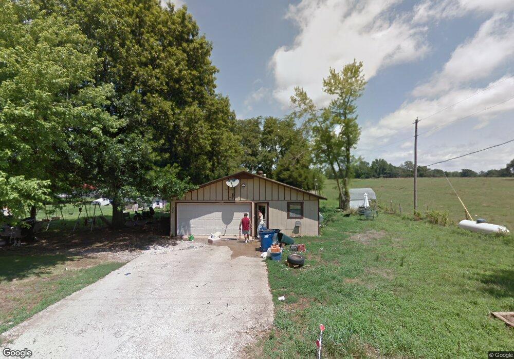
1208 John Renfroe Rd Pea Ridge, AR 72751
Estimated Value: $354,000 - $454,000
Studio
2
Baths
2,032
Sq Ft
$198/Sq Ft
Est. Value
About This Home
This home is located at 1208 John Renfroe Rd, Pea Ridge, AR 72751 and is currently estimated at $401,921, approximately $197 per square foot. 1208 John Renfroe Rd is a home located in Benton County with nearby schools including Pea Ridge Intermediate School, Pea Ridge Primary School, and Pea Ridge Junior High School.
Ownership History
Date
Name
Owned For
Owner Type
Purchase Details
Closed on
Nov 18, 2022
Sold by
Thetford Ryan and Thetford Bethany
Bought by
Gent Family Trust
Current Estimated Value
Purchase Details
Closed on
Nov 30, 2021
Sold by
Soard Thomas W and Soard Whitney E
Bought by
Thetford Ryan and Thetford Bethany
Home Financials for this Owner
Home Financials are based on the most recent Mortgage that was taken out on this home.
Original Mortgage
$211,375
Interest Rate
3.14%
Mortgage Type
New Conventional
Purchase Details
Closed on
Jul 26, 2010
Sold by
Whitaker Richard A and Whitaker Linda L
Bought by
Soard Vi Thomas W and Soard Whitney E
Home Financials for this Owner
Home Financials are based on the most recent Mortgage that was taken out on this home.
Original Mortgage
$118,405
Interest Rate
4.87%
Mortgage Type
FHA
Purchase Details
Closed on
Jan 21, 1976
Bought by
Whitaker
Create a Home Valuation Report for This Property
The Home Valuation Report is an in-depth analysis detailing your home's value as well as a comparison with similar homes in the area
Home Values in the Area
Average Home Value in this Area
Purchase History
| Date | Buyer | Sale Price | Title Company |
|---|---|---|---|
| Gent Family Trust | $305,000 | None Listed On Document | |
| Thetford Ryan | $222,500 | Waco Title | |
| Soard Vi Thomas W | $120,000 | Elite Title Company Inc | |
| Whitaker | $2,000 | -- |
Source: Public Records
Mortgage History
| Date | Status | Borrower | Loan Amount |
|---|---|---|---|
| Previous Owner | Thetford Ryan | $211,375 | |
| Previous Owner | Soard Vi Thomas W | $118,405 |
Source: Public Records
Tax History
| Year | Tax Paid | Tax Assessment Tax Assessment Total Assessment is a certain percentage of the fair market value that is determined by local assessors to be the total taxable value of land and additions on the property. | Land | Improvement |
|---|---|---|---|---|
| 2025 | $2,104 | $40,531 | $10,000 | $30,531 |
| 2024 | $1,509 | $40,531 | $10,000 | $30,531 |
| 2023 | $1,509 | $29,070 | $3,800 | $25,270 |
| 2022 | $1,206 | $29,070 | $3,800 | $25,270 |
| 2021 | $817 | $29,070 | $3,800 | $25,270 |
| 2020 | $792 | $21,610 | $1,500 | $20,110 |
| 2019 | $737 | $19,920 | $1,500 | $18,420 |
| 2018 | $762 | $19,920 | $1,500 | $18,420 |
| 2017 | $684 | $19,920 | $1,500 | $18,420 |
| 2016 | $684 | $19,920 | $1,500 | $18,420 |
| 2015 | $1,028 | $19,810 | $3,200 | $16,610 |
| 2014 | $678 | $19,810 | $3,200 | $16,610 |
Source: Public Records
Map
Nearby Homes
- 1215 John Renfro Rd
- 1145 John Renfro Rd
- 2494 Christina Cir
- 2051 Patterson Rd
- 1713 Hagerty St
- 1707 Hagerty St
- 2030 Bussey Ln
- 1804 Porter St
- 1812 Porter St
- 1813 Porter St
- 1900 Strong Ave
- 1706 Edwards St
- 1817 Porter St
- 1828 Porter St
- 1812 Silk St
- 1821 Porter St
- 1832 Porter St
- 1816 Silk St
- 1809 Silk St
- 1825 Porter St
- 1208 John Renfroe Rd
- 2536 Patterson Rd
- 3+/- AC Tract 1 Patterson Rd
- 2560 Patterson Rd
- 2562 Patterson Rd
- 2610 Patterson Rd
- 2340 Patterson Rd
- 2435 Patterson Rd
- 2559 Patterson Rd
- 2858 Patterson Rd
- 0 Christina
- 2341 Patterson Rd
- 1502 Christman Rd
- 1404 Christman Rd
- 2712 Patterson Rd
- 2768 Patterson Rd
- 2685 Christina Cir
- 2664 Christina Cir
- 1494 John Renfroe Rd
- 2801 Patterson Rd
Your Personal Tour Guide
Ask me questions while you tour the home.