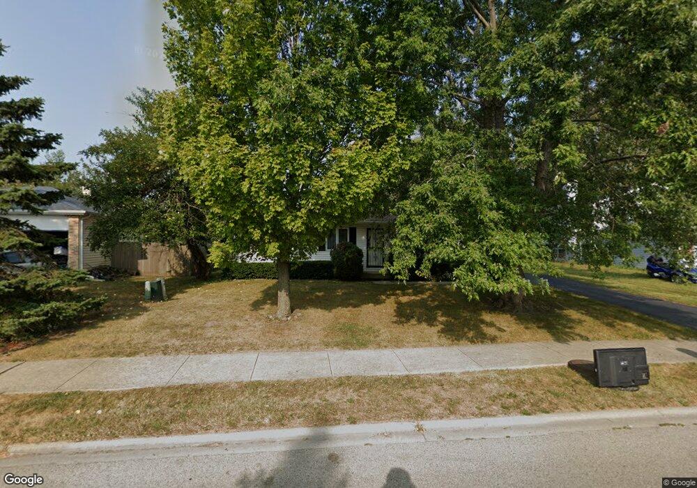
1208 Lorelei Dr Zion, IL 60099
West Zion NeighborhoodEstimated Value: $222,000 - $283,000
3
Beds
1
Bath
1,056
Sq Ft
$243/Sq Ft
Est. Value
About This Home
This home is located at 1208 Lorelei Dr, Zion, IL 60099 and is currently estimated at $256,343, approximately $242 per square foot. 1208 Lorelei Dr is a home located in Lake County with nearby schools including Newport Elementary School, Beach Park Middle School, and Zion-Benton Township High School.
Ownership History
Date
Name
Owned For
Owner Type
Purchase Details
Closed on
Sep 15, 1997
Sold by
Munji Emerenciana A
Bought by
Munji Nicanor A and Munji Meymi B
Current Estimated Value
Purchase Details
Closed on
May 20, 1994
Sold by
Reames Alanna M
Bought by
Munji Nicanor A and Munji Meymi B
Home Financials for this Owner
Home Financials are based on the most recent Mortgage that was taken out on this home.
Original Mortgage
$103,170
Interest Rate
8.45%
Mortgage Type
FHA
Create a Home Valuation Report for This Property
The Home Valuation Report is an in-depth analysis detailing your home's value as well as a comparison with similar homes in the area
Home Values in the Area
Average Home Value in this Area
Purchase History
| Date | Buyer | Sale Price | Title Company |
|---|---|---|---|
| Munji Nicanor A | -- | -- | |
| Munji Nicanor A | $104,000 | -- |
Source: Public Records
Mortgage History
| Date | Status | Borrower | Loan Amount |
|---|---|---|---|
| Closed | Munji Nicanor A | $103,170 |
Source: Public Records
Tax History
| Year | Tax Paid | Tax Assessment Tax Assessment Total Assessment is a certain percentage of the fair market value that is determined by local assessors to be the total taxable value of land and additions on the property. | Land | Improvement |
|---|---|---|---|---|
| 2024 | $5,351 | $55,945 | $9,344 | $46,601 |
| 2023 | $5,246 | $49,880 | $8,331 | $41,549 |
| 2022 | $5,246 | $46,210 | $6,836 | $39,374 |
| 2021 | $5,149 | $43,349 | $6,413 | $36,936 |
| 2020 | $4,944 | $40,772 | $6,032 | $34,740 |
| 2019 | $4,787 | $37,980 | $5,619 | $32,361 |
| 2018 | $4,231 | $33,843 | $5,075 | $28,768 |
| 2017 | $4,132 | $31,394 | $4,708 | $26,686 |
| 2016 | $3,786 | $28,499 | $4,274 | $24,225 |
| 2015 | $3,585 | $25,859 | $3,878 | $21,981 |
| 2014 | $3,315 | $24,674 | $3,660 | $21,014 |
| 2012 | $3,816 | $26,277 | $3,898 | $22,379 |
Source: Public Records
Map
Nearby Homes
- 1210 Lorelei Dr
- 1305 Reed Rd
- 4108 Douglas Dr
- 3816 Tickseed Dr
- 908 Countrywood Dr
- 4014 Ridge Rd
- 3805 Parkway Ln
- 3903 9th St
- 11778 W 12th St
- 4539 Illinois 173
- 1405 Lewis Ave
- 43411 Lynn Dale Dr
- 210 Oak Ln
- 1703 Horeb Ave
- 4109 Sarah Dr
- 1828 Horeb Ave
- 2414 Phillip Dr
- 440 Megan Place
- 2410 Miriam Ave
- 1816 Hebron Ave
- 1206 Lorelei Dr
- 1212 Lorelei Dr
- 1204 Lorelei Dr
- 1209 Lorelei Dr
- 1211 Lorelei Dr
- 4019 Brigadoon Dr
- 1202 Lorelei Dr
- 1214 Lorelei Dr
- 1207 Pheasant Run
- 1209 Pheasant Run
- 1213 Lorelei Dr
- 1205 Pheasant Run
- 1211 Pheasant Run
- 4017 Brigadoon Dr
- 4015 Brigadoon Dr
- 1203 Pheasant Run
- 1200 Lorelei Dr Unit 11
- 4022 Brigadoon Dr
- 1215 Lorelei Dr
- 1201 Pheasant Run
Your Personal Tour Guide
Ask me questions while you tour the home.