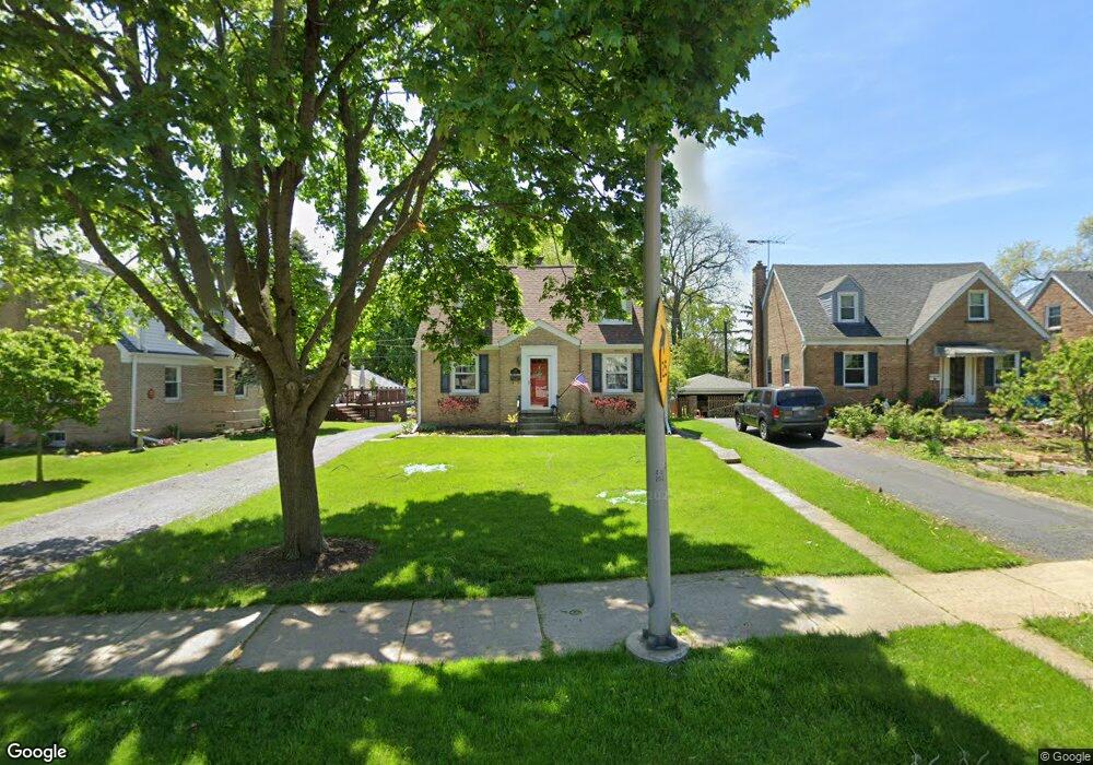
1208 Manchester Rd Wheaton, IL 60187
West Wheaton NeighborhoodEstimated Value: $365,000 - $420,000
3
Beds
2
Baths
1,200
Sq Ft
$328/Sq Ft
Est. Value
About This Home
This home is located at 1208 Manchester Rd, Wheaton, IL 60187 and is currently estimated at $393,104, approximately $327 per square foot. 1208 Manchester Rd is a home located in DuPage County with nearby schools including Emerson Elementary School, Monroe Middle School, and Wheaton North High School.
Ownership History
Date
Name
Owned For
Owner Type
Purchase Details
Closed on
Jul 13, 2011
Sold by
Crane William and Crane Rachael
Bought by
Rosedale Aaron and Rosedale Andrea
Current Estimated Value
Home Financials for this Owner
Home Financials are based on the most recent Mortgage that was taken out on this home.
Original Mortgage
$213,750
Outstanding Balance
$142,535
Interest Rate
3.87%
Mortgage Type
Adjustable Rate Mortgage/ARM
Estimated Equity
$250,569
Purchase Details
Closed on
May 14, 2003
Sold by
Annen Dean A and Annen Kristine K
Bought by
Crane William and Crane Rachael
Home Financials for this Owner
Home Financials are based on the most recent Mortgage that was taken out on this home.
Original Mortgage
$204,300
Interest Rate
5.78%
Mortgage Type
Purchase Money Mortgage
Create a Home Valuation Report for This Property
The Home Valuation Report is an in-depth analysis detailing your home's value as well as a comparison with similar homes in the area
Home Values in the Area
Average Home Value in this Area
Purchase History
| Date | Buyer | Sale Price | Title Company |
|---|---|---|---|
| Rosedale Aaron | $225,000 | Atg | |
| Crane William | $255,500 | Pntn |
Source: Public Records
Mortgage History
| Date | Status | Borrower | Loan Amount |
|---|---|---|---|
| Open | Rosedale Aaron | $213,750 | |
| Previous Owner | Crane William | $204,300 | |
| Closed | Crane William | $25,550 |
Source: Public Records
Tax History
| Year | Tax Paid | Tax Assessment Tax Assessment Total Assessment is a certain percentage of the fair market value that is determined by local assessors to be the total taxable value of land and additions on the property. | Land | Improvement |
|---|---|---|---|---|
| 2024 | $6,257 | $105,076 | $20,413 | $84,663 |
| 2023 | $5,996 | $96,720 | $18,790 | $77,930 |
| 2022 | $5,915 | $91,410 | $17,760 | $73,650 |
| 2021 | $5,891 | $89,240 | $17,340 | $71,900 |
| 2020 | $5,872 | $88,410 | $17,180 | $71,230 |
| 2019 | $5,733 | $86,080 | $16,730 | $69,350 |
| 2018 | $5,608 | $83,430 | $15,760 | $67,670 |
| 2017 | $5,518 | $80,350 | $15,180 | $65,170 |
| 2016 | $5,437 | $77,140 | $14,570 | $62,570 |
| 2015 | $5,387 | $73,590 | $13,900 | $59,690 |
| 2014 | $4,687 | $63,800 | $14,970 | $48,830 |
| 2013 | $4,567 | $63,990 | $15,010 | $48,980 |
Source: Public Records
Map
Nearby Homes
- 107 N Pierce Ave
- 315 S Morgan Ave
- 833 Parkside Dr
- 606 W Franklin St
- 100 N Gary Ave Unit 408
- 0N105 Lot 1 Nepil Ave
- 0N105 Lot 2 Nepil Ave
- 405 W Front St Unit 3207
- 615 Polo Dr
- 705 S Gables Blvd
- 1478 Timber Trail Unit 15C
- 1474 Timber Trail Unit D
- 536 W Evergreen St
- 522 S West St
- 520 S Wheaton Ave
- 0N049 Page St
- 1021 Greenwood Dr
- 0N112 Leonard St
- 114 W Prairie Ave
- 1017 N Main St
- 1212 Manchester Rd
- 1204 Manchester Rd
- 1216 Manchester Rd
- 241 N Woodlawn St
- 228 N Knollwood Dr
- 1118 Manchester Rd
- 231 N Woodlawn St
- 1213 Manchester Rd
- 1207 Manchester Rd
- 1219 Manchester Rd
- 224 N Knollwood Dr
- 1114 Manchester Rd
- 225 N Woodlawn St
- 1119 Manchester Rd
- 237 N Knollwood Dr
- 1110 Manchester Rd
- 1201 Manchester Rd
- 220 N Knollwood Dr
- 240 N Woodlawn St
- 233 N Knollwood Dr
Your Personal Tour Guide
Ask me questions while you tour the home.