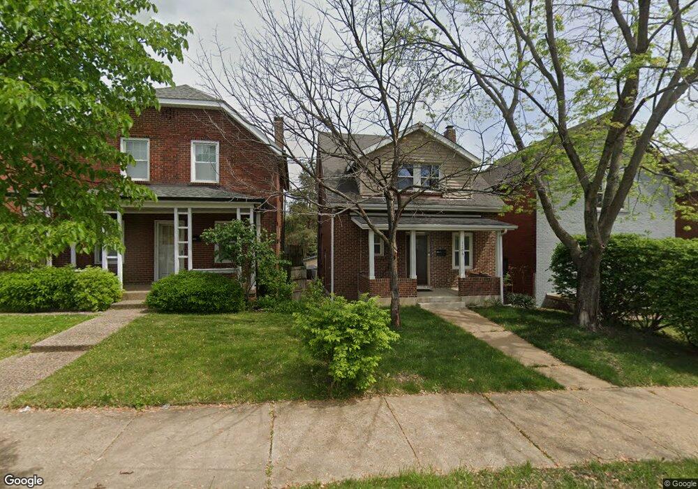
1208 Mccausland Ave Saint Louis, MO 63117
Hi-Pointe NeighborhoodEstimated Value: $154,000 - $221,000
2
Beds
1
Bath
1,066
Sq Ft
$183/Sq Ft
Est. Value
About This Home
This home is located at 1208 Mccausland Ave, Saint Louis, MO 63117 and is currently estimated at $194,806, approximately $182 per square foot. 1208 Mccausland Ave is a home located in St. Louis City with nearby schools including Mason Elementary School, Long International Middle School, and Roosevelt High School.
Ownership History
Date
Name
Owned For
Owner Type
Purchase Details
Closed on
Mar 5, 2009
Sold by
Citibank Na
Bought by
Denen Jason D
Current Estimated Value
Home Financials for this Owner
Home Financials are based on the most recent Mortgage that was taken out on this home.
Original Mortgage
$96,438
Outstanding Balance
$61,354
Interest Rate
5.14%
Mortgage Type
FHA
Estimated Equity
$133,452
Purchase Details
Closed on
Dec 15, 2008
Sold by
Benamor Chiheb
Bought by
Citibank Na
Purchase Details
Closed on
Mar 24, 2003
Sold by
Suda Jeffry L and Suda Susan M
Bought by
Benamor Chiheb
Home Financials for this Owner
Home Financials are based on the most recent Mortgage that was taken out on this home.
Original Mortgage
$76,950
Interest Rate
8%
Mortgage Type
Purchase Money Mortgage
Create a Home Valuation Report for This Property
The Home Valuation Report is an in-depth analysis detailing your home's value as well as a comparison with similar homes in the area
Home Values in the Area
Average Home Value in this Area
Purchase History
| Date | Buyer | Sale Price | Title Company |
|---|---|---|---|
| Denen Jason D | -- | Mokan Title Services Llc | |
| Citibank Na | $66,700 | None Available | |
| Benamor Chiheb | -- | -- |
Source: Public Records
Mortgage History
| Date | Status | Borrower | Loan Amount |
|---|---|---|---|
| Open | Denen Jason D | $96,438 | |
| Previous Owner | Benamor Chiheb | $76,950 |
Source: Public Records
Tax History Compared to Growth
Tax History
| Year | Tax Paid | Tax Assessment Tax Assessment Total Assessment is a certain percentage of the fair market value that is determined by local assessors to be the total taxable value of land and additions on the property. | Land | Improvement |
|---|---|---|---|---|
| 2025 | $2,212 | $31,490 | $1,540 | $29,950 |
| 2024 | $2,105 | $26,090 | $1,540 | $24,550 |
| 2023 | $2,105 | $26,090 | $1,540 | $24,550 |
| 2022 | $1,967 | $23,460 | $1,540 | $21,920 |
| 2021 | $1,964 | $23,460 | $1,540 | $21,920 |
| 2020 | $1,831 | $22,020 | $1,540 | $20,480 |
| 2019 | $1,811 | $21,850 | $1,540 | $20,310 |
| 2018 | $1,642 | $19,170 | $1,540 | $17,630 |
| 2017 | $1,614 | $19,170 | $1,540 | $17,630 |
| 2016 | $1,466 | $17,160 | $1,540 | $15,620 |
| 2015 | $1,330 | $17,160 | $1,540 | $15,620 |
| 2014 | $1,331 | $17,160 | $1,540 | $15,620 |
| 2013 | -- | $17,180 | $1,540 | $15,640 |
Source: Public Records
Map
Nearby Homes
- 1111 Forest Ave
- 6815 Wise Ave
- 6932 Nashville Ave
- 6827 R Dale Ave
- 7022 Ethel Ave
- 6756 Dolan Place
- 7040 Ethel Ave
- 6719 Nashville Ave
- 1225 Kraft St
- 1503 Cutter Ave
- 6340 Clayton Rd Unit 302
- 6350 Clayton Rd Unit 103
- 6350 Clayton Rd Unit 402
- 7027 Plateau Ave
- 6239 Alamo Ave
- 7315 Wise Ave
- 1617 Forest Ave
- 1623 Forest Ave
- 6614 Oakland Ave Unit A
- 1625 Forest Ave
- 1210 Mccausland Ave
- 1204 Mccausland Ave
- 1212 Mccausland Ave
- 1200 Mccausland Ave
- 1216 Mccausland Ave
- 1220 Mccausland Ave
- 6936 Wise Ave
- 6939 W Park Ave
- 1224 Mccausland Ave
- 6932 Wise Ave
- 6935 W Park Ave
- 6930 Wise Ave
- 6933 W Park Ave
- 6941 Wise Ave
- 6928 Wise Ave
- 1300 Mccausland Ave
- 6929 W Park Ave
- 6937 Wise Ave
- 6933 Wise Ave
- 1304 Mccausland Ave