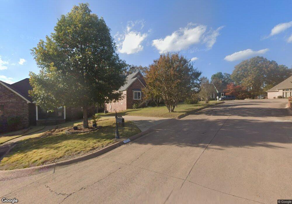
1208 N Point Ln North Little Rock, AR 72118
Amboy NeighborhoodEstimated Value: $263,000 - $342,000
--
Bed
2
Baths
2,071
Sq Ft
$141/Sq Ft
Est. Value
About This Home
This home is located at 1208 N Point Ln, North Little Rock, AR 72118 and is currently estimated at $291,533, approximately $140 per square foot. 1208 N Point Ln is a home located in Pulaski County with nearby schools including Indian Hills Elementary School, North Little Rock Middle School 6th Grade Campus, and North Little Rock High School.
Ownership History
Date
Name
Owned For
Owner Type
Purchase Details
Closed on
Feb 28, 2003
Sold by
Horn Michael G
Bought by
Smith Matthew Steven
Current Estimated Value
Home Financials for this Owner
Home Financials are based on the most recent Mortgage that was taken out on this home.
Original Mortgage
$120,000
Interest Rate
5.86%
Create a Home Valuation Report for This Property
The Home Valuation Report is an in-depth analysis detailing your home's value as well as a comparison with similar homes in the area
Home Values in the Area
Average Home Value in this Area
Purchase History
| Date | Buyer | Sale Price | Title Company |
|---|---|---|---|
| Smith Matthew Steven | $150,000 | Standard Abstract & Title Co |
Source: Public Records
Mortgage History
| Date | Status | Borrower | Loan Amount |
|---|---|---|---|
| Closed | Smith Matthew Steven | $120,000 |
Source: Public Records
Tax History Compared to Growth
Tax History
| Year | Tax Paid | Tax Assessment Tax Assessment Total Assessment is a certain percentage of the fair market value that is determined by local assessors to be the total taxable value of land and additions on the property. | Land | Improvement |
|---|---|---|---|---|
| 2025 | $3,067 | $45,914 | $8,000 | $37,914 |
| 2024 | $2,914 | $45,914 | $8,000 | $37,914 |
| 2023 | $2,914 | $45,914 | $8,000 | $37,914 |
| 2022 | $2,671 | $45,914 | $8,000 | $37,914 |
| 2021 | $2,428 | $36,350 | $7,500 | $28,850 |
| 2020 | $2,428 | $36,350 | $7,500 | $28,850 |
| 2019 | $2,428 | $36,350 | $7,500 | $28,850 |
| 2018 | $2,428 | $36,350 | $7,500 | $28,850 |
| 2017 | $2,428 | $36,350 | $7,500 | $28,850 |
| 2016 | $2,480 | $37,120 | $5,200 | $31,920 |
| 2015 | $2,480 | $37,120 | $5,200 | $31,920 |
| 2014 | $2,480 | $37,120 | $5,200 | $31,920 |
Source: Public Records
Map
Nearby Homes
- 1204 N Point Ln
- 13 Stanwood Loop
- 1218 Mission Rd
- 1209 Silverwood Trail
- 7100 Sequoyah Ln
- 7200 Sequoyah Ln
- 1100 Winnebago Dr
- 10 Silverwood Ct
- 8 Minnehaha Ct
- 1010 Claycut Cir
- 7405 Flintrock Rd
- 1115 Claycut Cir
- 126 Cobblestone Cir
- 1100 Talihana Dr
- 1013 Kierre Dr
- 7 Edenwood Ln
- 5 Edenwood Ln
- 719 Spriggs Rd
- 1701 War Eagle Dr
- 6324 Allwood Dr
- 1212 N Point Ln
- 1216 N Point Ln
- N Point Ln
- 1119 Silverwood Cove
- 1200 N Point Ln
- 1301 N Point Ln
- 1101 Silverwood Cove
- 1220 N Point Ln
- 1300 N Point Ln
- 27 Stanwood Loop
- 1915 Mission Rd
- 1305 N Point Ln
- 1101 Silverwood Trail
- 23 Stanwood Loop
- 1005 Silverwood Cove
- 1304 N Point Ln
- 1209 Nandina Cir
- 1213 Nandina Cir
- 0 N Point Ln
- 1308 N Point Ln