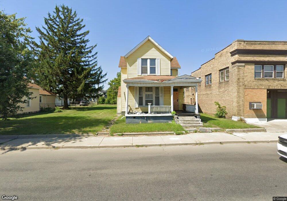
1208 S Anthony Blvd Fort Wayne, IN 46803
East Central NeighborhoodEstimated Value: $118,000 - $172,000
4
Beds
2
Baths
2,150
Sq Ft
$65/Sq Ft
Est. Value
About This Home
This home is located at 1208 S Anthony Blvd, Fort Wayne, IN 46803 and is currently estimated at $139,747, approximately $64 per square foot. 1208 S Anthony Blvd is a home located in Allen County with nearby schools including Washington Elementary School, Portage Middle School, and Wayne High School.
Ownership History
Date
Name
Owned For
Owner Type
Purchase Details
Closed on
Nov 22, 2004
Sold by
Fisher Gregory L
Bought by
Paniagua Gonzalez Paula and Castro Braulio Roberto Jordan
Current Estimated Value
Home Financials for this Owner
Home Financials are based on the most recent Mortgage that was taken out on this home.
Original Mortgage
$41,000
Outstanding Balance
$19,389
Interest Rate
5%
Mortgage Type
Seller Take Back
Estimated Equity
$120,358
Purchase Details
Closed on
May 18, 2001
Sold by
Contimortgage Corp
Bought by
Fisher Gregory L
Purchase Details
Closed on
Mar 20, 2001
Sold by
Winn Evelyn
Bought by
Contimortgage Corp
Create a Home Valuation Report for This Property
The Home Valuation Report is an in-depth analysis detailing your home's value as well as a comparison with similar homes in the area
Home Values in the Area
Average Home Value in this Area
Purchase History
| Date | Buyer | Sale Price | Title Company |
|---|---|---|---|
| Paniagua Gonzalez Paula | $44,500 | -- | |
| Fisher Gregory L | -- | -- | |
| Contimortgage Corp | $10,300 | Security Title |
Source: Public Records
Mortgage History
| Date | Status | Borrower | Loan Amount |
|---|---|---|---|
| Open | Paniagua Gonzalez Paula | $41,000 |
Source: Public Records
Tax History Compared to Growth
Tax History
| Year | Tax Paid | Tax Assessment Tax Assessment Total Assessment is a certain percentage of the fair market value that is determined by local assessors to be the total taxable value of land and additions on the property. | Land | Improvement |
|---|---|---|---|---|
| 2024 | $2,476 | $24,600 | $15,000 | $9,600 |
| 2022 | $829 | $37,200 | $6,500 | $30,700 |
| 2021 | $584 | $26,400 | $1,700 | $24,700 |
| 2020 | $750 | $32,300 | $1,700 | $30,600 |
| 2019 | $511 | $23,700 | $1,400 | $22,300 |
| 2018 | $619 | $28,500 | $1,400 | $27,100 |
| 2017 | $467 | $21,400 | $1,400 | $20,000 |
| 2016 | $485 | $22,500 | $1,400 | $21,100 |
| 2014 | $45 | $17,100 | $1,600 | $15,500 |
| 2013 | $30 | $15,400 | $1,600 | $13,800 |
Source: Public Records
Map
Nearby Homes
- 1242 Grant Ave
- 1217 Fletcher Ave
- 1143 Grant Ave
- 1419 Summit St
- 2109 Maumee Ave
- 2403 S Anthony Blvd Unit 40, 41 & 42
- 1429 Lillie St
- 2513 Winch St
- 801 Kensington Blvd
- 2720 Pennsylvania St
- 908 Liberty St
- 2809 Maumee Ave
- 1208 Fairview Ave
- 1124 Kensington Blvd
- 1206 N Anthony Blvd
- 929 Edgewater Ave
- 1522 Columbia Ave
- 2816 New Haven Ave
- 840 Columbia Ave
- 805 Edgewater Ave
- 1214 S Anthony Blvd
- 1712 E Lewis St
- 1120 S Anthony Blvd
- 1205 Lillie St
- 1215 Lillie St
- 1201 Lillie St
- 1217 Lillie St
- 1205 S Anthony Blvd
- 1112 S Anthony Blvd
- 1715 E Lewis St
- 1221 Lillie St
- 1711 E Lewis St
- 1225 Lillie St
- 1707 E Lewis St
- 1225 S Anthony Blvd
- 1231 Lillie St
- 1630 E Lewis St
- 1231 S Anthony Blvd
- 1730 Maumee Ave
- 1239 Lillie St