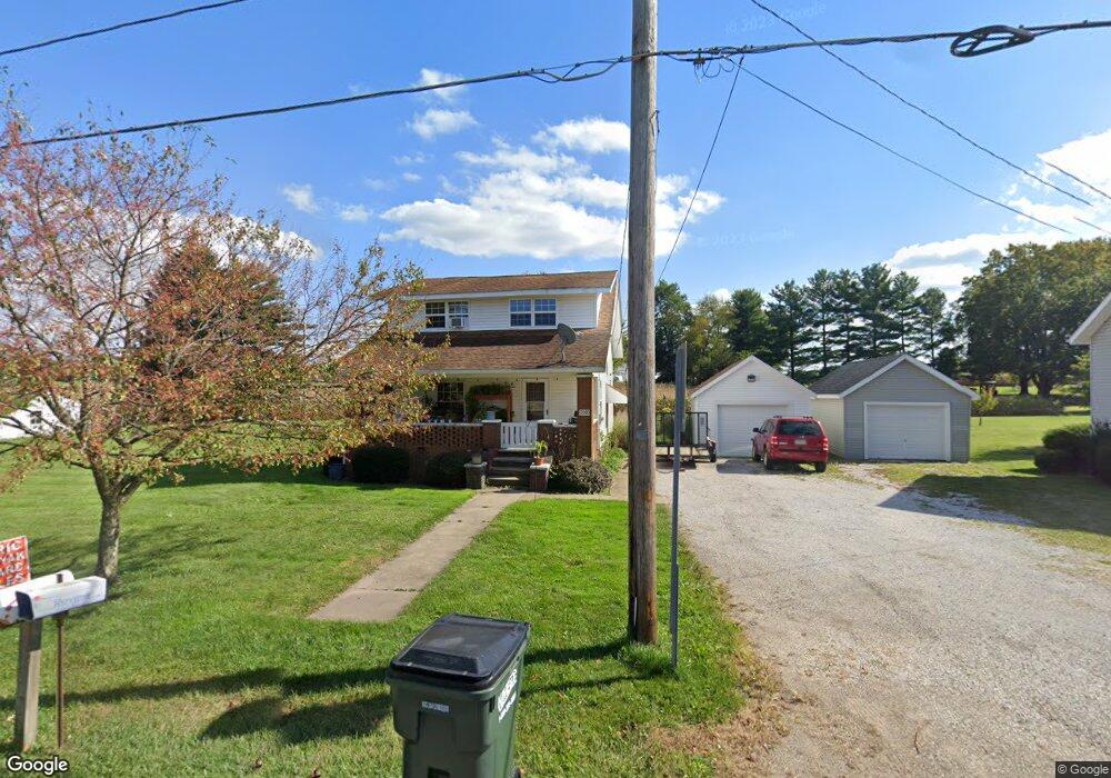
12080 Easton St NE Alliance, OH 44601
Estimated Value: $109,000 - $170,000
3
Beds
1
Bath
1,248
Sq Ft
$112/Sq Ft
Est. Value
About This Home
This home is located at 12080 Easton St NE, Alliance, OH 44601 and is currently estimated at $139,910, approximately $112 per square foot. 12080 Easton St NE is a home located in Stark County with nearby schools including Marlington High School and Regina Coeli/St Joseph School.
Ownership History
Date
Name
Owned For
Owner Type
Purchase Details
Closed on
Feb 7, 2002
Sold by
Dehoff Marion C and Dehoff Millard C
Bought by
Cunin Richard A and Cunin Lourae
Current Estimated Value
Home Financials for this Owner
Home Financials are based on the most recent Mortgage that was taken out on this home.
Original Mortgage
$8,500
Outstanding Balance
$3,559
Interest Rate
7.24%
Mortgage Type
Seller Take Back
Estimated Equity
$136,351
Create a Home Valuation Report for This Property
The Home Valuation Report is an in-depth analysis detailing your home's value as well as a comparison with similar homes in the area
Home Values in the Area
Average Home Value in this Area
Purchase History
| Date | Buyer | Sale Price | Title Company |
|---|---|---|---|
| Cunin Richard A | $40,000 | -- |
Source: Public Records
Mortgage History
| Date | Status | Borrower | Loan Amount |
|---|---|---|---|
| Open | Cunin Richard A | $8,500 |
Source: Public Records
Tax History Compared to Growth
Tax History
| Year | Tax Paid | Tax Assessment Tax Assessment Total Assessment is a certain percentage of the fair market value that is determined by local assessors to be the total taxable value of land and additions on the property. | Land | Improvement |
|---|---|---|---|---|
| 2025 | -- | $31,890 | $18,900 | $12,990 |
| 2024 | -- | $31,890 | $18,900 | $12,990 |
| 2023 | $825 | $25,830 | $12,600 | $13,230 |
| 2022 | $828 | $25,830 | $12,600 | $13,230 |
| 2021 | $830 | $25,830 | $12,600 | $13,230 |
| 2020 | $811 | $22,580 | $10,850 | $11,730 |
| 2019 | $805 | $22,580 | $10,850 | $11,730 |
| 2018 | $806 | $22,580 | $10,850 | $11,730 |
| 2017 | $1,023 | $26,610 | $9,000 | $17,610 |
| 2016 | $1,003 | $26,610 | $9,000 | $17,610 |
| 2015 | $1,005 | $26,610 | $9,000 | $17,610 |
| 2014 | $1,023 | $24,750 | $8,370 | $16,380 |
| 2013 | $512 | $24,750 | $8,370 | $16,380 |
Source: Public Records
Map
Nearby Homes
- 6109 Oakhill Ave NE
- 0 Valewood Cir Unit 5006281
- 12222 Cenfield St NE
- 2435 Queensbury Rd
- 2851 Patriots Path Unit 3D
- 0 Easton St NE
- 2377 Ansley St Unit 2377
- 0 Winchester St
- 0 Winchester St Unit 5162877
- 5869 Beechwood Ave
- 5990 Meese Rd NE
- 13881 Salem Church St NE
- 1325 W Beech St
- 2081 Marwood Cir
- 5765 Maplegrove St
- 1430 Westwood Ave
- 0 Moulin Ave NE
- 2220 Western Ave
- 2112 Blenheim Ave
- 1059 Oakwood Dr
- 12070 Easton St NE
- 12110 Easton St NE
- 12091 Easton St NE
- 12105 Easton St NE
- 12130 Easton St NE
- 7200 Oakhill Ave NE
- 7200 Oakhill Ave NE
- 7274 Oakhill Ave NE
- 12135 Easton St NE
- 7162 Oakhill Ave NE
- 12020 Easton St NE
- 12017 Easton St NE
- 7136 Oakhill Ave NE
- 12160 Easton St NE
- 12010 Easton St NE
- 7175 Oakhill Ave NE
- 7175 Oakhill Ave NE
- 12008 Easton St NE
- 7281 Oakhill Ave NE
- 11987 Easton St NE