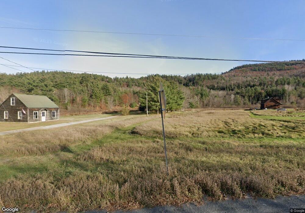
12084 State Route 9n Upper Jay, NY 12987
Estimated Value: $348,000 - $425,069
3
Beds
2
Baths
1,238
Sq Ft
$310/Sq Ft
Est. Value
About This Home
This home is located at 12084 State Route 9n, Upper Jay, NY 12987 and is currently estimated at $383,767, approximately $309 per square foot. 12084 State Route 9n is a home with nearby schools including Ausable Valley High School.
Ownership History
Date
Name
Owned For
Owner Type
Purchase Details
Closed on
Nov 9, 2022
Sold by
Leege Christopher W
Bought by
Davidson Barbara and Davidson Martin
Current Estimated Value
Purchase Details
Closed on
Jun 29, 2018
Sold by
Johnson Daniel E and Johnson Juanita B
Bought by
Leege Christopher W
Home Financials for this Owner
Home Financials are based on the most recent Mortgage that was taken out on this home.
Original Mortgage
$157,311
Interest Rate
4.5%
Mortgage Type
VA
Create a Home Valuation Report for This Property
The Home Valuation Report is an in-depth analysis detailing your home's value as well as a comparison with similar homes in the area
Home Values in the Area
Average Home Value in this Area
Purchase History
| Date | Buyer | Sale Price | Title Company |
|---|---|---|---|
| Davidson Barbara | $350,100 | None Available | |
| Leege Christopher W | $154,000 | -- |
Source: Public Records
Mortgage History
| Date | Status | Borrower | Loan Amount |
|---|---|---|---|
| Previous Owner | Leege Christopher W | $157,311 |
Source: Public Records
Tax History
| Year | Tax Paid | Tax Assessment Tax Assessment Total Assessment is a certain percentage of the fair market value that is determined by local assessors to be the total taxable value of land and additions on the property. | Land | Improvement |
|---|---|---|---|---|
| 2024 | $7,369 | $373,400 | $97,200 | $276,200 |
| 2023 | $7,677 | $355,000 | $72,700 | $282,300 |
| 2022 | $4,427 | $181,700 | $26,200 | $155,500 |
| 2021 | $4,353 | $154,000 | $24,400 | $129,600 |
| 2020 | $4,320 | $141,300 | $24,400 | $116,900 |
| 2019 | $4,405 | $141,300 | $24,400 | $116,900 |
| 2018 | $3,269 | $141,300 | $24,400 | $116,900 |
| 2017 | $3,688 | $141,300 | $24,400 | $116,900 |
| 2016 | $3,659 | $141,300 | $24,400 | $116,900 |
| 2015 | -- | $141,300 | $24,400 | $116,900 |
| 2014 | -- | $141,300 | $24,400 | $116,900 |
Source: Public Records
Map
Nearby Homes
- 12134 State Highway 9n
- 2 Springfield Rd
- 171 Trumbulls Rd
- 136 Styles Brook Rd
- 46 Styles Brook Rd
- Lot 2 Styles Brook Rd
- 78 Hardy Rd
- 649 Springfield Rd
- 001 Nys Route 9n
- 103 Perkins Rd
- Lot 3 Hardy Rd
- Lot 2 Hardy Rd
- 60 Indian Rock Rd
- 689 Glen Rd
- 484 Hardy Rd
- 7 Covered Bridge Ln
- Lot 2 & 3 Way
- 00 Nys Route 9n
- 6 Park Side Dr
- 104 Manning Rd
- 12084 State Route 9n
- 12084 State Highway 9n
- 12094 State Highway 9n
- 12094 State Route 9n
- 12100 State Route 9n
- 12108 Nys Route 9n
- 12108 State Route 9n
- 12108 State Highway 9n
- 0 Nys Route 9n Unit 176229
- 12058 State Route 9n
- 12046 State Route 9n
- 27 Lawrence Way
- 50 Pine Ridge Ln
- 38 Pine Ridge Ln
- 12134 State Route 9n
- 12032 State Route 9n
- 12138 State Route 9n
- 12138 State Highway 9n
- 29 Lawrence Way
- 29 Pine Ridge Ln
Your Personal Tour Guide
Ask me questions while you tour the home.