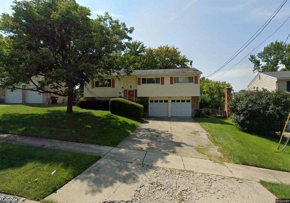
12085 Freestone Ct Cincinnati, OH 45240
Pleasant Run Farms NeighborhoodEstimated Value: $260,000 - $288,000
3
Beds
3
Baths
1,842
Sq Ft
$148/Sq Ft
Est. Value
About This Home
This home is located at 12085 Freestone Ct, Cincinnati, OH 45240 and is currently estimated at $273,214, approximately $148 per square foot. 12085 Freestone Ct is a home located in Hamilton County with nearby schools including Pleasant Run Elementary School, Pleasant Run Middle School, and Northwest High School.
Ownership History
Date
Name
Owned For
Owner Type
Purchase Details
Closed on
Jul 14, 2011
Sold by
Ostdiek David M and Ostdiek Jamie L
Bought by
Lambert John
Current Estimated Value
Home Financials for this Owner
Home Financials are based on the most recent Mortgage that was taken out on this home.
Original Mortgage
$112,084
Outstanding Balance
$75,952
Interest Rate
4.5%
Mortgage Type
FHA
Estimated Equity
$197,262
Purchase Details
Closed on
Dec 5, 2005
Sold by
Schmidt Robert J and Schmidt Maryann C
Bought by
Ostdiek David M and Ostdiek Jamie L
Home Financials for this Owner
Home Financials are based on the most recent Mortgage that was taken out on this home.
Original Mortgage
$109,600
Interest Rate
6.48%
Mortgage Type
Fannie Mae Freddie Mac
Create a Home Valuation Report for This Property
The Home Valuation Report is an in-depth analysis detailing your home's value as well as a comparison with similar homes in the area
Home Values in the Area
Average Home Value in this Area
Purchase History
| Date | Buyer | Sale Price | Title Company |
|---|---|---|---|
| Lambert John | $115,000 | Arrow Title Agency Llc | |
| Ostdiek David M | -- | None Available |
Source: Public Records
Mortgage History
| Date | Status | Borrower | Loan Amount |
|---|---|---|---|
| Open | Lambert John | $112,084 | |
| Previous Owner | Ostdiek David M | $109,600 |
Source: Public Records
Tax History
| Year | Tax Paid | Tax Assessment Tax Assessment Total Assessment is a certain percentage of the fair market value that is determined by local assessors to be the total taxable value of land and additions on the property. | Land | Improvement |
|---|---|---|---|---|
| 2025 | $4,206 | $67,169 | $11,844 | $55,325 |
| 2024 | $4,085 | $67,169 | $11,844 | $55,325 |
| 2023 | $3,879 | $67,169 | $11,844 | $55,325 |
| 2022 | $3,736 | $51,906 | $10,252 | $41,654 |
| 2021 | $3,698 | $51,906 | $10,252 | $41,654 |
| 2020 | $3,743 | $51,906 | $10,252 | $41,654 |
| 2019 | $3,164 | $41,525 | $8,201 | $33,324 |
| 2018 | $2,861 | $41,525 | $8,201 | $33,324 |
| 2017 | $2,717 | $41,525 | $8,201 | $33,324 |
| 2016 | $2,628 | $39,446 | $8,929 | $30,517 |
| 2015 | $2,657 | $39,446 | $8,929 | $30,517 |
| 2014 | $2,662 | $39,446 | $8,929 | $30,517 |
| 2013 | $2,645 | $40,251 | $9,111 | $31,140 |
Source: Public Records
Map
Nearby Homes
- 1632 Forester Dr
- 11955 Mill Rd
- 11969 Winston Cir
- 1352 Forester Dr
- 11666 Elkwood Dr
- 2017 Broadhurst Ave
- 1 Pinehurst Ct
- 1829 Doral Dr
- 12080 Regency Run Ct Unit 4
- 2150 Augusta Blvd
- 2200 Augusta Blvd Unit 122
- 2200 Augusta Blvd
- 12120 Regency Run Ct
- 12181 Regency Run Ct
- 2344 Horning Dr
- 11537 Norbourne Dr
- 2048 Woodtrail Dr
- 11505 Oxfordshire Ln
- 11995 Wincanton Dr
- 4 Pleasant Creek Ct
- 12081 Freestone Ct
- 12091 Freestone Ct
- 12074 Elkwood Dr
- 12097 Freestone Ct
- 12086 Elkwood Dr
- 12068 Elkwood Dr
- 12088 Freestone Ct
- 12082 Freestone Ct
- 1691 Forester Dr
- 12069 Freestone Ct
- 12062 Elkwood Dr
- 12074 Freestone Ct
- 12096 Freestone Ct
- 12058 Elkwood Dr
- 12066 Freestone Ct
- 12077 Elkwood Dr
- 12081 Elkwood Dr
- 12071 Elkwood Dr
- 12063 Freestone Ct
- 1676 Forester Dr
Your Personal Tour Guide
Ask me questions while you tour the home.