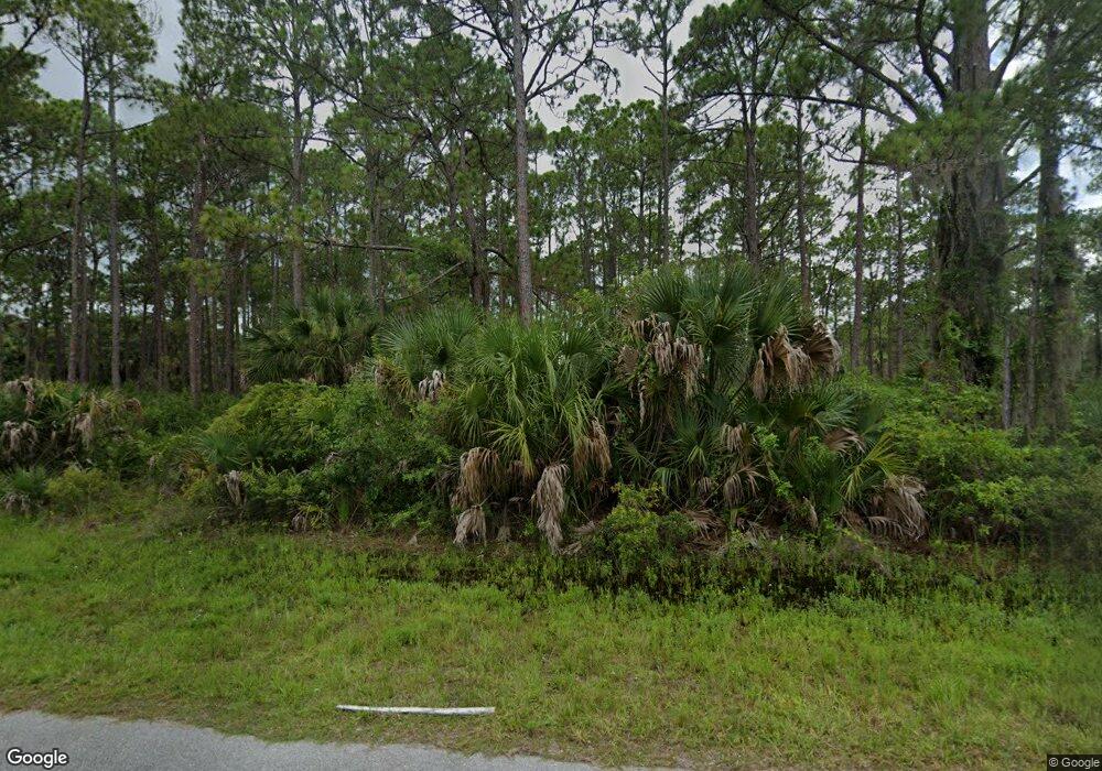
12089 Judson Ave Port Charlotte, FL 33953
Northwest Port Charlotte NeighborhoodEstimated Value: $22,000 - $32,019
--
Bed
--
Bath
--
Sq Ft
10,019
Sq Ft Lot
About This Home
This home is located at 12089 Judson Ave, Port Charlotte, FL 33953 and is currently estimated at $27,010. 12089 Judson Ave is a home located in Charlotte County with nearby schools including Liberty Elementary School, Murdock Middle School, and Port Charlotte High School.
Ownership History
Date
Name
Owned For
Owner Type
Purchase Details
Closed on
Dec 1, 2017
Sold by
Rojas Manuel and Velandia Angela
Bought by
Incsas Florida Llc
Current Estimated Value
Purchase Details
Closed on
Jan 13, 2012
Sold by
Camadan Corp
Bought by
Rojas Manuel and Velandia Angela
Purchase Details
Closed on
Sep 7, 2011
Sold by
Bri 1830 Davenport Llc
Bought by
Camadan Corp
Purchase Details
Closed on
Apr 7, 2010
Sold by
First Tennessee Bank National Associatio
Bought by
Bri 1830 Davenport Llc
Create a Home Valuation Report for This Property
The Home Valuation Report is an in-depth analysis detailing your home's value as well as a comparison with similar homes in the area
Home Values in the Area
Average Home Value in this Area
Purchase History
| Date | Buyer | Sale Price | Title Company |
|---|---|---|---|
| Incsas Florida Llc | -- | Attorney | |
| Rojas Manuel | $10,000 | Shore Line Title Svcs Llc | |
| Camadan Corp | $6,000 | Equity Land Title Llc | |
| Bri 1830 Davenport Llc | $128,300 | Fidelity Natl Title Ins Co |
Source: Public Records
Tax History Compared to Growth
Tax History
| Year | Tax Paid | Tax Assessment Tax Assessment Total Assessment is a certain percentage of the fair market value that is determined by local assessors to be the total taxable value of land and additions on the property. | Land | Improvement |
|---|---|---|---|---|
| 2023 | $455 | $4,320 | $0 | $0 |
| 2022 | $430 | $10,200 | $10,200 | $0 |
| 2021 | $385 | $3,570 | $3,570 | $0 |
| 2020 | $377 | $3,570 | $3,570 | $0 |
| 2019 | $375 | $3,570 | $3,570 | $0 |
| 2018 | $365 | $3,315 | $3,315 | $0 |
| 2017 | $361 | $3,196 | $3,196 | $0 |
| 2016 | $357 | $3,060 | $0 | $0 |
| 2015 | $353 | $2,788 | $0 | $0 |
| 2014 | $252 | $2,768 | $0 | $0 |
Source: Public Records
Map
Nearby Homes
- 12048 Judson Ave
- 12241 Judson Ave
- 12189 Judson Ave
- 12040 Judson Ave
- 12133 Judson Ave
- 12107 Judson Ave
- 12090 Kraft Ave
- 12196 Kraft Ave
- 12042 Kraft Ave
- 12259 Cassino Ave
- 12095 Cassino Ave
- 12152 Judson Ave
- 12073 Judson Ave
- 12160 Judson Ave
- 12065 Judson Ave
- 12147 Kraft Ave
- 482 Hanscom St
- 427 Hanscom St
- 467 Hanscom St
- 451 Fellenz St
- 12088 Judson Ave
- 12080 Judson Ave
- 12074 Kraft Ave
- 12096 Judson Ave Unit 9
- 12104 Judson Ave
- 12173 Judson Ave
- 12112 Judson Ave
- 12081 Judson Ave
- 12096 Judson Ave
- 12033 Judson Ave
- 12157 Judson Ave
- 12081 Kraft Ave
- 12095 Kraft Ave
- 12120, 12112 Judson Ave
- 12122 Kraft Ave
- 12139 Kraft Ave
- 12189 Kraft Ave
- 12212 Kraft Ave
- 12213 Kraft Ave
- 12188 Kraft Ave