12089 Ping Rd Wheatland, MO 65779
Estimated Value: $139,000 - $197,000
Studio
--
Bath
1,026
Sq Ft
$164/Sq Ft
Est. Value
About This Home
This home is located at 12089 Ping Rd, Wheatland, MO 65779 and is currently estimated at $168,242, approximately $163 per square foot. 12089 Ping Rd is a home with nearby schools including Wheatland Elementary School and Wheatland High School.
Create a Home Valuation Report for This Property
The Home Valuation Report is an in-depth analysis detailing your home's value as well as a comparison with similar homes in the area
Tax History
| Year | Tax Paid | Tax Assessment Tax Assessment Total Assessment is a certain percentage of the fair market value that is determined by local assessors to be the total taxable value of land and additions on the property. | Land | Improvement |
|---|---|---|---|---|
| 2025 | $552 | $14,120 | $0 | $0 |
| 2024 | $552 | $13,070 | $0 | $0 |
| 2023 | $549 | $13,070 | $0 | $0 |
| 2022 | $517 | $12,570 | $0 | $0 |
| 2021 | $513 | $12,570 | $0 | $0 |
| 2020 | $488 | $11,840 | $0 | $0 |
| 2019 | $485 | $11,840 | $0 | $0 |
| 2018 | $485 | $11,870 | $0 | $0 |
| 2017 | $484 | $11,870 | $0 | $0 |
| 2016 | $479 | $11,870 | $0 | $0 |
| 2015 | -- | $11,870 | $0 | $0 |
| 2013 | -- | $11,850 | $0 | $0 |
| 2012 | -- | $11,850 | $0 | $0 |
Source: Public Records
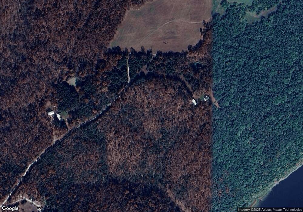
Map
Nearby Homes
- 10606 237 County Rd
- Highway B
- County Rd 243
- 40466 Violet Ave
- 0000 Luster Violet Ave
- 13790 West Hwy W
- 16583 Highway U
- 11518 US Highway 65
- 20494 Avery Rd
- Tbd Sandy Rd
- 11596 Highway 65
- 15887 County Road 18
- 28229 State Hwy P
- 22805 Hwy Cc
- 22805 State Highway Cc
- 23209 Oakwood Cir
- 16135 Jerusalem Trail
- 23042 Indian Ln
- 000 Indian Ln
- 18556 Museum St
Your Personal Tour Guide
Ask me questions while you tour the home.