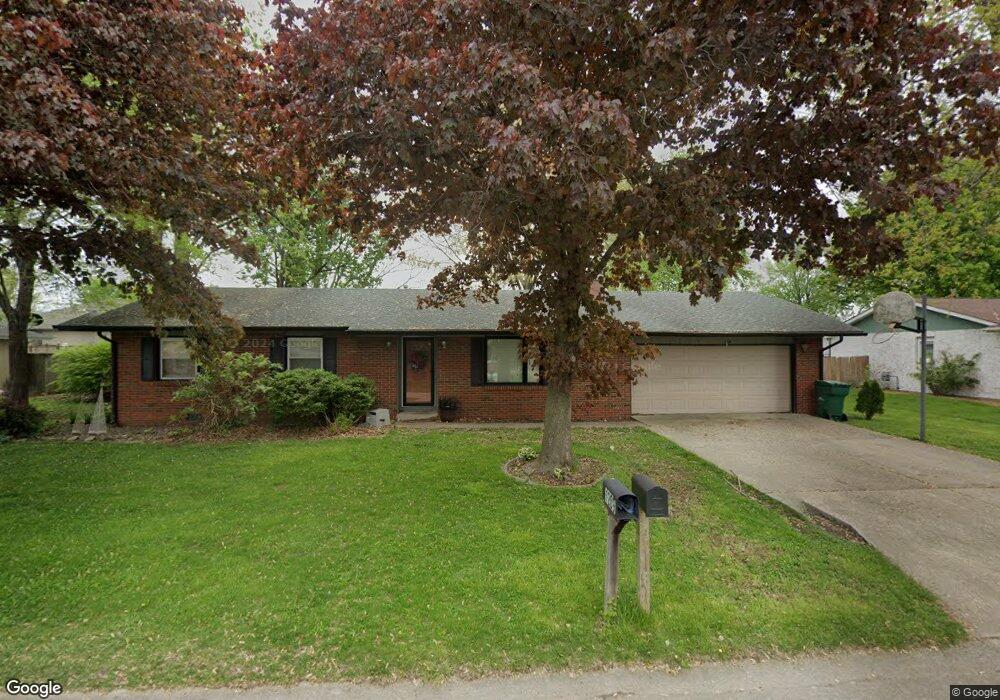
1209 6th St Unit 1 Pawnee, IL 62558
Estimated Value: $203,000 - $251,000
About This Home
This home is located at 1209 6th St Unit 1, Pawnee, IL 62558 and is currently estimated at $218,603. 1209 6th St Unit 1 is a home located in Sangamon County with nearby schools including Pawnee Grade School and Pawnee Junior/Senior High School.
Ownership History
We collect this data history from publicly available records. To have your information removed, we recommend requesting removal directly through your county’s website.
Purchase Details
Home Financials for this Owner
Home Financials are based on the most recent Mortgage that was taken out on this home.Purchase Details
Purchase Details
Home Values in the Area
Average Home Value in this Area
Purchase History
We collect this data history from publicly available records. To have your information removed, we recommend requesting removal directly through your county’s website.
| Date | Buyer | Sale Price | Title Company |
|---|---|---|---|
| -- | Timothy P Mchugh Ltd | ||
| $102,500 | -- | ||
| $81,500 | -- |
Mortgage History
We collect this data history from publicly available records. To have your information removed, we recommend requesting removal directly through your county’s website.
| Date | Status | Borrower | Loan Amount |
|---|---|---|---|
| Open | $109,076 |
Tax History
We collect this data history from publicly available records. To have your information removed, we recommend requesting removal directly through your county’s website.
| Year | Tax Paid | Tax Assessment Tax Assessment Total Assessment is a certain percentage of the fair market value that is determined by local assessors to be the total taxable value of land and additions on the property. | Land | Improvement |
|---|---|---|---|---|
| 2025 | $3,530 | $58,263 | $8,083 | $50,180 |
| 2024 | $3,371 | $53,349 | $7,401 | $45,948 |
| 2023 | $3,227 | $50,463 | $7,001 | $43,462 |
| 2022 | $3,103 | $47,841 | $6,637 | $41,204 |
| 2021 | $3,002 | $45,904 | $6,368 | $39,536 |
| 2020 | $2,982 | $45,342 | $6,290 | $39,052 |
| 2019 | $2,949 | $44,667 | $6,196 | $38,471 |
| 2018 | $2,848 | $43,757 | $6,070 | $37,687 |
| 2017 | $2,747 | $41,974 | $5,823 | $36,151 |
| 2016 | $2,675 | $40,689 | $5,645 | $35,044 |
| 2015 | $2,658 | $40,539 | $5,624 | $34,915 |
| 2014 | $2,561 | $40,078 | $5,560 | $34,518 |
| 2013 | $2,579 | $40,676 | $5,643 | $35,033 |
Map
- 1219 6th St Unit 1
- 1219 Frisina St Unit 1
- 1136 Henkle Dr Unit 1
- 806 9th St
- 1428 Horse Creek Trail
- 706 Monroe St Unit 1
- 14635 Cotton Hill Rd
- 149 Joan Dr Unit 1
- 117 E Brown St Unit 1
- 34 S State St
- 612 S Lincoln St Unit 1
- 521 S Lincoln St
- 34 W Kenney St
- 41 W South St Unit 1
- 133 W Springer St Unit 1
- ID29110400013 New City Rd
- 0 Old Indian Trail
- 8519 Cardinal Hill Rd
- 107 Lilac Ln
- 2804 Hastings Rd
- 1207 6th St
- 1208 7th St Unit 1
- 1208 6th St Unit 1
- 1206 7th St Unit 1
- 1206 6th St Unit 1
- 1210 7th St Unit 1
- 1210 6th St Unit 1
- 1205 6th St Unit 1
- 1204 7th St Unit 1
- 1213 6th St
- 1204 6th St Unit 1
- 1209 7th St Unit 1
- 1212 7th St
- 1212 6th St Unit 1
- 1207 7th St Unit 1
- 1209 S 5th
- 1209 5th St Unit 1
- 1211 7th St Unit 1
- 1207 5th St Unit 1
- 1203 6th St Unit 1
Ask me questions while you tour the home.