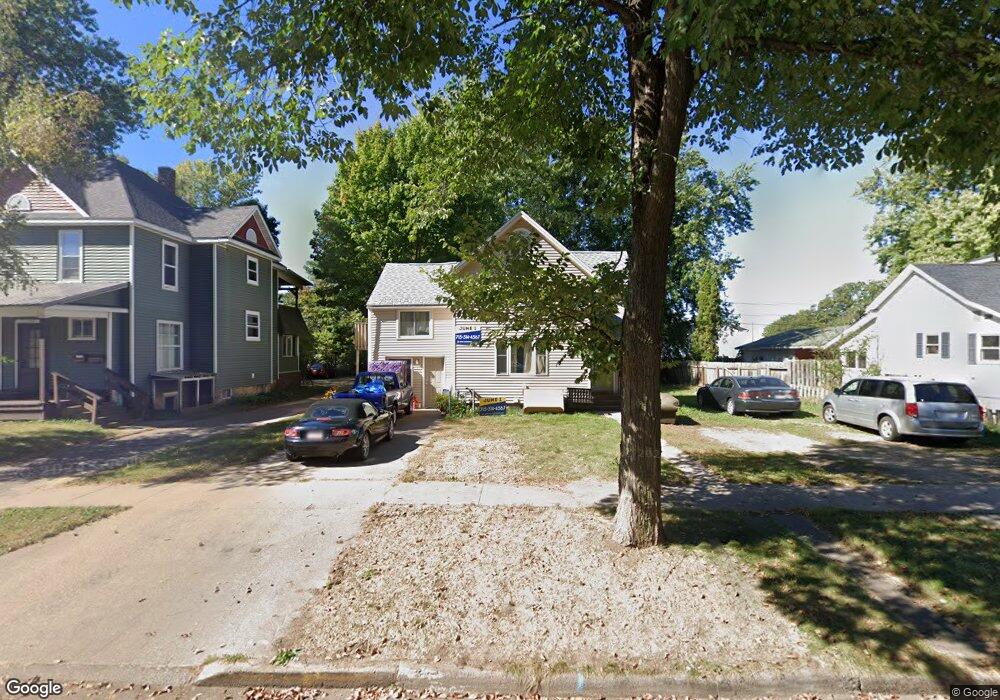
1209 7th St E Menomonie, WI 54751
Estimated Value: $180,877 - $225,000
Studio
--
Bath
--
Sq Ft
8,712
Sq Ft Lot
About This Home
This home is located at 1209 7th St E, Menomonie, WI 54751 and is currently estimated at $199,969. 1209 7th St E is a home located in Dunn County with nearby schools including Oaklawn Elementary School, Menomonie Middle School, and Menomonie High School.
Ownership History
Date
Name
Owned For
Owner Type
Purchase Details
Closed on
Apr 30, 2019
Sold by
Howe David & Lori Trust
Bought by
Abode Rentals Of Menomonie Llc
Current Estimated Value
Home Financials for this Owner
Home Financials are based on the most recent Mortgage that was taken out on this home.
Interest Rate
4.2%
Purchase Details
Closed on
Jun 1, 2018
Sold by
Alicia Hilderman and Alicia Brian
Bought by
Howe David Trainor and Howe A
Create a Home Valuation Report for This Property
The Home Valuation Report is an in-depth analysis detailing your home's value as well as a comparison with similar homes in the area
Home Values in the Area
Average Home Value in this Area
Purchase History
| Date | Buyer | Sale Price | Title Company |
|---|---|---|---|
| Abode Rentals Of Menomonie Llc | $141,500 | Attorney Only | |
| Abode Rentals Of Menomonie Llc | $141,500 | -- | |
| Howe David Trainor | $103,000 | Westconsin Title Svcs |
Source: Public Records
Mortgage History
| Date | Status | Borrower | Loan Amount |
|---|---|---|---|
| Closed | Abode Rentals Of Menomonie Llc | -- |
Source: Public Records
Tax History Compared to Growth
Tax History
| Year | Tax Paid | Tax Assessment Tax Assessment Total Assessment is a certain percentage of the fair market value that is determined by local assessors to be the total taxable value of land and additions on the property. | Land | Improvement |
|---|---|---|---|---|
| 2024 | $2,403 | $120,300 | $16,000 | $104,300 |
| 2023 | $2,307 | $120,300 | $16,000 | $104,300 |
| 2022 | $2,202 | $120,300 | $16,000 | $104,300 |
| 2021 | $2,310 | $120,300 | $16,000 | $104,300 |
| 2020 | $2,479 | $97,900 | $13,700 | $84,200 |
| 2019 | $2,329 | $97,900 | $13,700 | $84,200 |
| 2018 | $2,279 | $97,900 | $13,700 | $84,200 |
| 2017 | $2,371 | $97,900 | $13,700 | $84,200 |
| 2016 | $2,321 | $97,900 | $13,700 | $84,200 |
| 2015 | $2,324 | $97,900 | $13,700 | $84,200 |
| 2014 | $2,357 | $97,900 | $13,700 | $84,200 |
| 2013 | $2,384 | $97,900 | $13,700 | $84,200 |
Source: Public Records
Map
Nearby Homes
- 808 9th Ave E
- 1307 Broadway St S
- 503 11th St E
- 1314 16th Ave E
- 315 12th Ave W
- 320 15th Ave W
- 302 21st Ave E
- 1109 3rd St W
- 329 Park Cir
- 2003 Broadway St S
- 501 2nd St W
- 2222 4th St E
- 2202 Broadway St S
- 421 21st Ave E
- 1905 Dairyland Rd
- E2519 Highway 29
- 203 Wilson Ct
- 1805 11th Ave E Unit Lot 19
- 1765 11th Ave E Unit Lot 17
- 2419 Fryklund Dr
- 1203 7th St E
- 1215 7th St E
- 1215 7th St E Unit 2
- 1215 7th St E Unit 1
- 1210 6th St E
- 1221 7th St E Unit 1/2
- 1221 7th St E
- 607 13th Ave E
- 1221 1/2 7th St E
- 602 12th Ave E
- 1221 7th St E
- 602 12th Ave E
- 1202 7th St E
- 1216 6th St E
- 619 13th Ave E Unit .5
- 619 13th Ave E Unit 1/2
- 619 13th Ave E
- 1208 7th St E
- 1220 6th St E
- 1214 7th St E