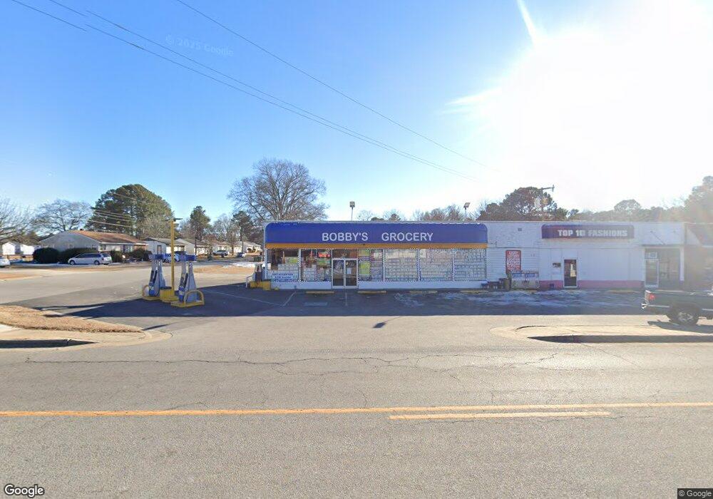
1209 Bolling Rd Roanoke Rapids, NC 27870
Estimated Value: $193,609
--
Bed
2
Baths
3,456
Sq Ft
$56/Sq Ft
Est. Value
About This Home
This home is located at 1209 Bolling Rd, Roanoke Rapids, NC 27870 and is currently estimated at $193,609, approximately $56 per square foot. 1209 Bolling Rd is a home located in Halifax County with nearby schools including Roanoke Rapids High School and Victory Christian Academy.
Ownership History
Date
Name
Owned For
Owner Type
Purchase Details
Closed on
May 16, 2023
Sold by
Alzer Khaled M and Alzer Fatima D
Bought by
Alrahimi Llc
Current Estimated Value
Home Financials for this Owner
Home Financials are based on the most recent Mortgage that was taken out on this home.
Original Mortgage
$140,000
Outstanding Balance
$114,688
Interest Rate
6.27%
Mortgage Type
New Conventional
Estimated Equity
$78,921
Purchase Details
Closed on
Sep 24, 2003
Bought by
Bobby'S #2 Inc
Create a Home Valuation Report for This Property
The Home Valuation Report is an in-depth analysis detailing your home's value as well as a comparison with similar homes in the area
Home Values in the Area
Average Home Value in this Area
Purchase History
| Date | Buyer | Sale Price | Title Company |
|---|---|---|---|
| Alrahimi Llc | $175,000 | None Listed On Document | |
| Alrahimi Llc | $175,000 | None Listed On Document | |
| Bobby'S #2 Inc | $175,000 | -- |
Source: Public Records
Mortgage History
| Date | Status | Borrower | Loan Amount |
|---|---|---|---|
| Open | Alrahimi Llc | $140,000 | |
| Closed | Alrahimi Llc | $140,000 |
Source: Public Records
Tax History Compared to Growth
Tax History
| Year | Tax Paid | Tax Assessment Tax Assessment Total Assessment is a certain percentage of the fair market value that is determined by local assessors to be the total taxable value of land and additions on the property. | Land | Improvement |
|---|---|---|---|---|
| 2025 | $23 | $152,800 | $23,800 | $129,000 |
| 2024 | $23 | $152,800 | $23,800 | $129,000 |
| 2023 | $2,304 | $143,700 | $23,800 | $119,900 |
| 2022 | $2,351 | $143,700 | $23,800 | $119,900 |
| 2021 | $2,304 | $143,700 | $23,800 | $119,900 |
| 2020 | $2,337 | $143,700 | $23,800 | $119,900 |
| 2019 | $2,395 | $145,500 | $23,700 | $121,800 |
| 2018 | $2,395 | $145,500 | $23,700 | $121,800 |
| 2017 | $2,361 | $145,500 | $23,700 | $121,800 |
| 2016 | $2,409 | $145,500 | $23,700 | $121,800 |
| 2015 | $2,290 | $145,500 | $23,700 | $121,800 |
| 2014 | $2,494 | $164,760 | $25,910 | $138,850 |
Source: Public Records
Map
Nearby Homes
- 1104 Bolling Rd
- 900 Ransome St
- 521 Rapids St
- 823 W 5th St
- 1511 Dogwood St
- 913 Vance St
- 817 Vance St
- Lot 52A Timmy Ln
- 340 Rapids St
- 347 Cedar St
- 921 Franklin St
- 914 Franklin St
- 1118 Mapleton St
- 410 Elkins Dr
- 700 Monroe St
- 414 Monroe St
- 135 Mina St
- 410 Madison St
- 304 Monroe St Unit B
- 2124 N Carolina 48