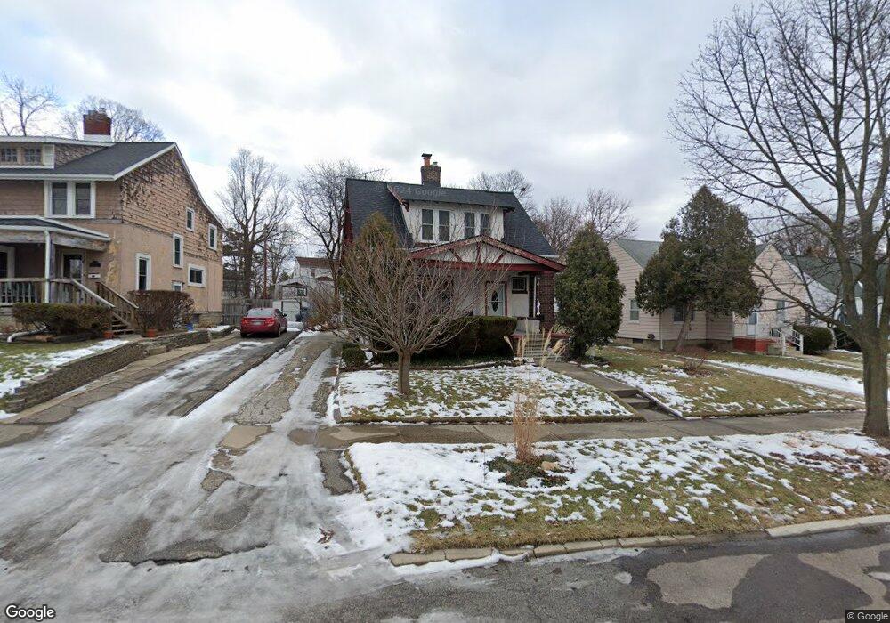
1209 Boston Ave Flint, MI 48503
Southwest Flint NeighborhoodEstimated Value: $74,000 - $83,000
3
Beds
2
Baths
1,321
Sq Ft
$60/Sq Ft
Est. Value
About This Home
This home is located at 1209 Boston Ave, Flint, MI 48503 and is currently estimated at $78,630, approximately $59 per square foot. 1209 Boston Ave is a home located in Genesee County with nearby schools including Eisenhower School, Flint Southwestern Classical Academy, and St John Vianney Catholic School.
Ownership History
Date
Name
Owned For
Owner Type
Purchase Details
Closed on
Oct 10, 2007
Sold by
Mccree Marcia
Bought by
Mccree Marcia and Mccree Bryan
Current Estimated Value
Purchase Details
Closed on
Jul 13, 2005
Sold by
Mccree Bryan W and Mccree Marcia
Bought by
Mccree Marcia
Home Financials for this Owner
Home Financials are based on the most recent Mortgage that was taken out on this home.
Original Mortgage
$81,000
Interest Rate
7.35%
Mortgage Type
New Conventional
Create a Home Valuation Report for This Property
The Home Valuation Report is an in-depth analysis detailing your home's value as well as a comparison with similar homes in the area
Home Values in the Area
Average Home Value in this Area
Purchase History
| Date | Buyer | Sale Price | Title Company |
|---|---|---|---|
| Mccree Marcia | -- | Guaranty Title Company | |
| Mccree Marcia | -- | Consolidated Title Svcs Llc |
Source: Public Records
Mortgage History
| Date | Status | Borrower | Loan Amount |
|---|---|---|---|
| Closed | Mccree Marcia | $81,000 |
Source: Public Records
Tax History Compared to Growth
Tax History
| Year | Tax Paid | Tax Assessment Tax Assessment Total Assessment is a certain percentage of the fair market value that is determined by local assessors to be the total taxable value of land and additions on the property. | Land | Improvement |
|---|---|---|---|---|
| 2025 | $1,429 | $35,800 | $0 | $0 |
| 2024 | $1,279 | $33,700 | $0 | $0 |
| 2023 | $1,248 | $27,000 | $0 | $0 |
| 2022 | $0 | $23,000 | $0 | $0 |
| 2021 | $1,307 | $20,700 | $0 | $0 |
| 2020 | $1,163 | $20,200 | $0 | $0 |
| 2019 | $1,124 | $18,900 | $0 | $0 |
| 2018 | $1,157 | $19,600 | $0 | $0 |
| 2017 | $1,121 | $0 | $0 | $0 |
| 2016 | $1,113 | $0 | $0 | $0 |
| 2015 | -- | $0 | $0 | $0 |
| 2014 | -- | $0 | $0 | $0 |
| 2012 | -- | $21,700 | $0 | $0 |
Source: Public Records
Map
Nearby Homes
- 1202 Pershing St
- 1926 W Court St
- 2124 Swayze St
- 1820 Chelsea Cir
- 1402 Woodcroft Ave
- 2410 Corunna Rd
- 2429 Brown St
- 2433 Brown St
- 1725 Lincoln Dr
- 2437 Zimmerman St
- 2509 Corunna Rd
- 2464 Gibson St
- 2537 Swayze St
- 2608 Cumings Ave
- 2618 Brown St
- 2008 University Ave
- 924 Hammond Ave
- 2710 Reynolds St
- 2729 Chicago Blvd
- 2663 W Court St
- 1205 Boston Ave
- 1201 Boston Ave
- 1217 Boston Ave
- 1213 Boston Ave
- 1210 Pershing St
- 1221 Boston Ave
- 1214 Pershing St
- 1208 Boston Ave
- 1202 Boston Ave
- 1222 Pershing St
- 1225 Boston Ave
- 1216 Boston Ave
- 1125 Boston Ave
- 1124 Boston Ave
- 1126 Pershing St
- 1220 Boston Ave
- 1212 Boston Ave
- 1128 Boston Ave
- 1229 Boston Ave
- 1228 Pershing St