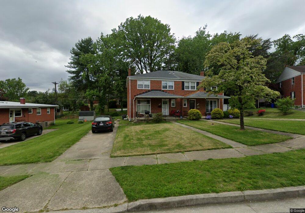
1209 Brixton Rd Baltimore, MD 21239
Estimated Value: $291,655 - $325,000
Studio
2
Baths
1,496
Sq Ft
$205/Sq Ft
Est. Value
About This Home
This home is located at 1209 Brixton Rd, Baltimore, MD 21239 and is currently estimated at $306,914, approximately $205 per square foot. 1209 Brixton Rd is a home located in Baltimore County with nearby schools including Halstead Academy, Loch Raven Technical Academy, and Towson High Law & Public Policy.
Ownership History
Date
Name
Owned For
Owner Type
Purchase Details
Closed on
Dec 26, 2025
Sold by
Selby Sarah E and Selby Franklin Keith
Bought by
Selby Sarah E
Current Estimated Value
Purchase Details
Closed on
Nov 15, 2019
Sold by
Selby Sarah E and Richardson Sarah B
Bought by
Selby Sarah E and Selby Franklin Keith
Home Financials for this Owner
Home Financials are based on the most recent Mortgage that was taken out on this home.
Original Mortgage
$150,000
Interest Rate
3.73%
Mortgage Type
New Conventional
Purchase Details
Closed on
Jul 23, 2002
Sold by
Dawson Paul
Bought by
Richardson Sarah B
Create a Home Valuation Report for This Property
The Home Valuation Report is an in-depth analysis detailing your home's value as well as a comparison with similar homes in the area
Home Values in the Area
Average Home Value in this Area
Purchase History
| Date | Buyer | Sale Price | Title Company |
|---|---|---|---|
| Selby Sarah E | -- | None Listed On Document | |
| Selby Sarah E | -- | Radian Settlement Svcs Inc | |
| Richardson Sarah B | $122,500 | -- |
Source: Public Records
Mortgage History
| Date | Status | Borrower | Loan Amount |
|---|---|---|---|
| Previous Owner | Selby Sarah E | $150,000 |
Source: Public Records
Tax History
| Year | Tax Paid | Tax Assessment Tax Assessment Total Assessment is a certain percentage of the fair market value that is determined by local assessors to be the total taxable value of land and additions on the property. | Land | Improvement |
|---|---|---|---|---|
| 2025 | $3,198 | $220,200 | $80,000 | $140,200 |
| 2024 | $3,198 | $210,567 | $0 | $0 |
| 2023 | $1,522 | $200,933 | $0 | $0 |
| 2022 | $2,951 | $191,300 | $80,000 | $111,300 |
| 2021 | $2,647 | $185,900 | $0 | $0 |
| 2020 | $2,817 | $180,500 | $0 | $0 |
| 2019 | $2,122 | $175,100 | $80,000 | $95,100 |
| 2018 | $2,582 | $173,300 | $0 | $0 |
| 2017 | $2,373 | $171,500 | $0 | $0 |
| 2016 | $2,508 | $169,700 | $0 | $0 |
| 2015 | $2,508 | $169,700 | $0 | $0 |
| 2014 | $2,508 | $169,700 | $0 | $0 |
Source: Public Records
Map
Nearby Homes
- 1211 Brixton Rd
- 1306 Brixton Rd
- 1302 Glenmont Rd
- 1204 Saint Andrews Way
- 1311 Glenmont Rd
- 6750 Glenkirk Rd
- 6702 Queens Ferry Rd
- 6923 Summit Cir
- 1413 Glendale Rd
- 1417 Glendale Rd
- 6701 Loch Raven Blvd
- 935 Litchfield Rd
- 12 Stone Ridge Ct
- 701 Hillen Rd
- 49 Ashlar Hill Ct
- 6504 Crestwood Rd
- 19 Ashlar Hill Ct
- 310 Worthington Rd
- 6580 Loch Raven Blvd
- 7404 Knollwood Rd
- 1207 Brixton Rd
- 1213 Brixton Rd
- 1205 Brixton Rd
- 1230 Saint Andrews Way
- 1228 Saint Andrews Way
- 1215 Brixton Rd
- 1203 Brixton Rd
- 1208 Brixton Rd
- 1217 Brixton Rd
- 1210 Brixton Rd
- 1226 Saint Andrews Way
- 1212 Brixton Rd
- 1201 Brixton Rd
- 1206 Brixton Rd
- 1234 Saint Andrews Way
- 1214 Brixton Rd
- 1200 Brixton Rd
- 1204 Brixton Rd
- 1216 Brixton Rd
- 1224 Saint Andrews Way
Your Personal Tour Guide
Ask me questions while you tour the home.