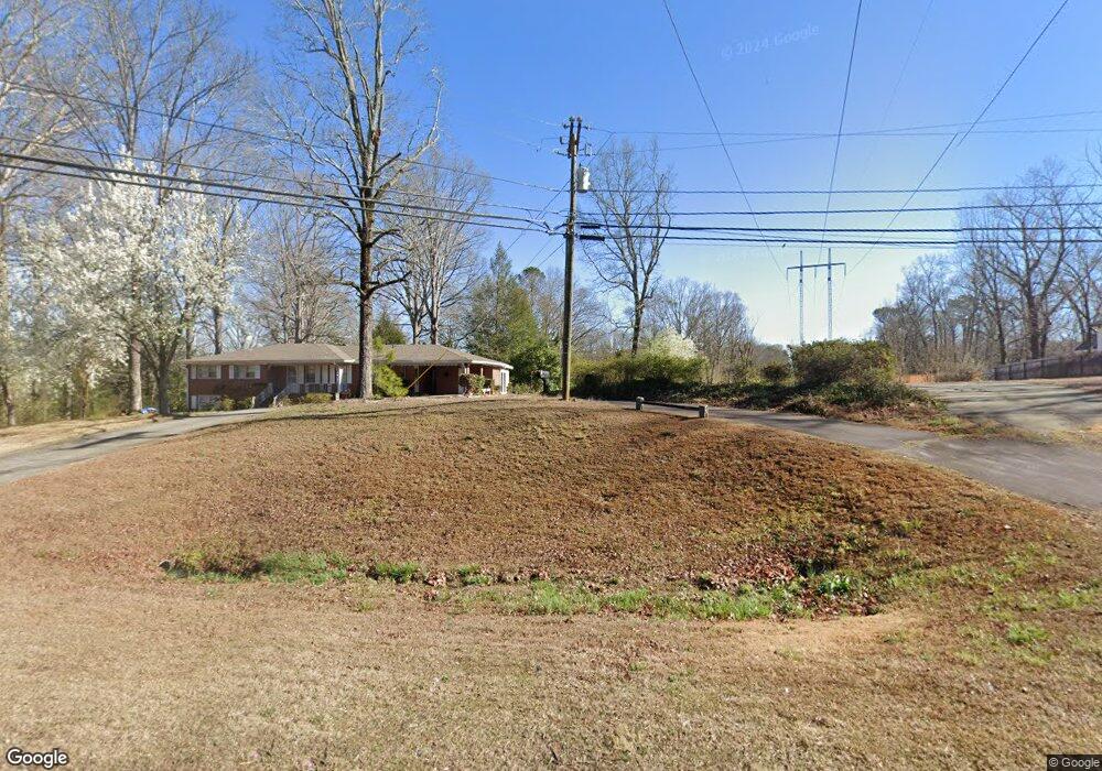
1209 Buford Dr Lawrenceville, GA 30043
Estimated Value: $319,141 - $379,000
3
Beds
3
Baths
1,367
Sq Ft
$251/Sq Ft
Est. Value
About This Home
This home is located at 1209 Buford Dr, Lawrenceville, GA 30043 and is currently estimated at $343,535, approximately $251 per square foot. 1209 Buford Dr is a home located in Gwinnett County with nearby schools including Dyer Elementary School, Twin Rivers Middle School, and Mountain View High School.
Ownership History
Date
Name
Owned For
Owner Type
Purchase Details
Closed on
Oct 29, 2008
Sold by
Mcdaniel Lillian E T
Bought by
Mcdaniel Irie J
Current Estimated Value
Purchase Details
Closed on
Sep 2, 2008
Sold by
Canganelli Randolph J and Canganelli Kimberly A
Bought by
Fullerton William A and Fullerton Charlene S
Purchase Details
Closed on
Dec 20, 2004
Sold by
Fullerton William A and Fullerton Charlene
Bought by
Cangelli Randolph J and Cangelli Kimberly
Home Financials for this Owner
Home Financials are based on the most recent Mortgage that was taken out on this home.
Original Mortgage
$155,000
Interest Rate
5.63%
Purchase Details
Closed on
Feb 19, 2004
Sold by
Fullerton Charlene S
Bought by
Fullerton William A and Fullerton Charlene
Create a Home Valuation Report for This Property
The Home Valuation Report is an in-depth analysis detailing your home's value as well as a comparison with similar homes in the area
Home Values in the Area
Average Home Value in this Area
Purchase History
| Date | Buyer | Sale Price | Title Company |
|---|---|---|---|
| Mcdaniel Irie J | -- | -- | |
| Mcdaniel Irie J | -- | -- | |
| Fullerton William A | $135,000 | -- | |
| Cangelli Randolph J | $60,000 | -- | |
| Fullerton William A | -- | -- | |
| Fullerton Charlene S | -- | -- | |
| Mcdaniel Irie J | -- | -- |
Source: Public Records
Mortgage History
| Date | Status | Borrower | Loan Amount |
|---|---|---|---|
| Previous Owner | Cangelli Randolph J | $155,000 |
Source: Public Records
Tax History Compared to Growth
Tax History
| Year | Tax Paid | Tax Assessment Tax Assessment Total Assessment is a certain percentage of the fair market value that is determined by local assessors to be the total taxable value of land and additions on the property. | Land | Improvement |
|---|---|---|---|---|
| 2024 | $4,058 | $102,400 | $24,000 | $78,400 |
| 2023 | $4,058 | $63,600 | $16,880 | $46,720 |
| 2022 | $2,644 | $63,600 | $16,880 | $46,720 |
| 2021 | $2,672 | $71,680 | $16,880 | $54,800 |
| 2020 | $2,133 | $48,400 | $9,600 | $38,800 |
| 2019 | $2,064 | $48,400 | $9,600 | $38,800 |
| 2018 | $2,060 | $48,400 | $9,600 | $38,800 |
| 2016 | $2,014 | $46,560 | $9,600 | $36,960 |
| 2015 | $2,036 | $46,560 | $9,600 | $36,960 |
| 2014 | $1,712 | $37,200 | $8,800 | $28,400 |
Source: Public Records
Map
Nearby Homes
- Lot 16 Coronada Dr
- Lot 17 Coronada Dr
- 1244 Riverloch Way
- 509 Woodland Ln
- 1148 Woodland Cir
- 531 Shyrewood Dr
- 695 Sunstone Ln
- 693 Sunstone Ln
- 689 Sunstone Ln
- 687 Sunstone Ln
- 664 Sunstone Ln
- 662 Sunstone Ln
- 660 Sunstone Ln
- 658 Sunstone Ln
- Brooks Plan at River Walk Place
- Bryson Plan at River Walk Place
- 1230 Rivershyre Pkwy
- 739 Lauren Cir Unit 1
- 221 Larkshyre Trail
- 260 Timber Laurel Ln
- 1185 Buford Dr
- 1231 Buford Dr Unit 1
- 509 Los Alamos Place
- 519 Los Alamos Place
- 1175 Buford Dr
- 1165 Buford Dr
- 1295 Riverloch Way
- 1295 Riverloch Way Unit 2
- 1294 Riverloch Way Unit 11
- 508 Los Alamos Place
- 520 Woodland Ln
- 529 Los Alamos Place
- 310 Madison Oak Cir
- 1155 Buford Dr
- 500 Woodland Ln
- 1244 Buford Dr
- 0 Riverloch Way Unit 8704121
- 0 Riverloch Way Unit 8661442
- 0 Riverloch Way Unit 7445995
- 0 Riverloch Way Unit 7469285