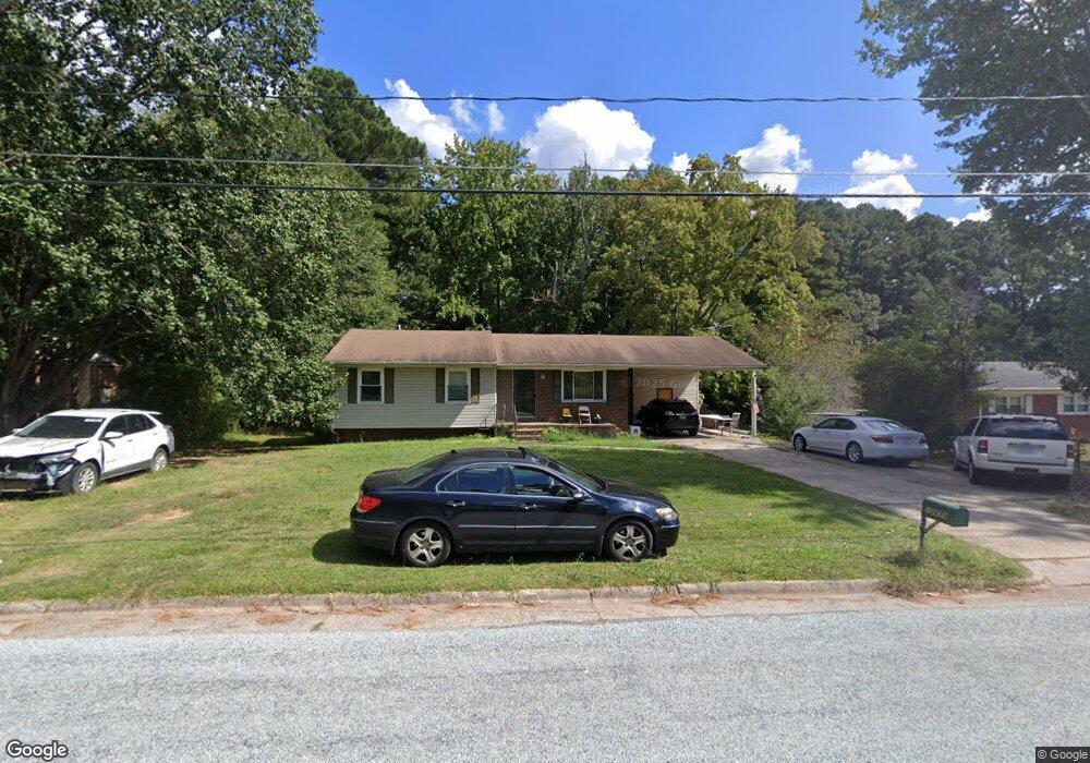
1209 Clinton Rd Durham, NC 27703
South Durham NeighborhoodEstimated Value: $308,000 - $398,000
4
Beds
3
Baths
1,450
Sq Ft
$241/Sq Ft
Est. Value
About This Home
This home is located at 1209 Clinton Rd, Durham, NC 27703 and is currently estimated at $350,018, approximately $241 per square foot. 1209 Clinton Rd is a home located in Durham County with nearby schools including R.N. Harris Elementary School, James E. Shepard Middle School, and Hillside High School.
Ownership History
Date
Name
Owned For
Owner Type
Purchase Details
Closed on
Apr 23, 2004
Sold by
Jp Morgan Chase Bank
Bought by
Howell Sandra
Current Estimated Value
Home Financials for this Owner
Home Financials are based on the most recent Mortgage that was taken out on this home.
Original Mortgage
$93,189
Outstanding Balance
$48,642
Interest Rate
7.25%
Mortgage Type
Purchase Money Mortgage
Estimated Equity
$301,376
Purchase Details
Closed on
Jan 13, 2004
Sold by
Mangum Edward and Mangum Betty F
Bought by
Jpmorgan Chase Bank and Truman Capital Mortgage Loan Tr 2002-1
Create a Home Valuation Report for This Property
The Home Valuation Report is an in-depth analysis detailing your home's value as well as a comparison with similar homes in the area
Home Values in the Area
Average Home Value in this Area
Purchase History
| Date | Buyer | Sale Price | Title Company |
|---|---|---|---|
| Howell Sandra | $110,000 | -- | |
| Jpmorgan Chase Bank | $13,000 | -- |
Source: Public Records
Mortgage History
| Date | Status | Borrower | Loan Amount |
|---|---|---|---|
| Open | Howell Sandra | $93,189 |
Source: Public Records
Tax History
| Year | Tax Paid | Tax Assessment Tax Assessment Total Assessment is a certain percentage of the fair market value that is determined by local assessors to be the total taxable value of land and additions on the property. | Land | Improvement |
|---|---|---|---|---|
| 2025 | $1,776 | $358,279 | $133,950 | $224,329 |
| 2024 | $1,350 | $193,619 | $28,280 | $165,339 |
| 2023 | $1,268 | $193,619 | $28,280 | $165,339 |
| 2022 | $2,478 | $193,619 | $28,280 | $165,339 |
| 2021 | $2,467 | $193,619 | $28,280 | $165,339 |
| 2020 | $2,408 | $193,619 | $28,280 | $165,339 |
| 2019 | $2,408 | $193,619 | $28,280 | $165,339 |
| 2018 | $2,024 | $149,219 | $26,512 | $122,707 |
| 2017 | $2,009 | $149,219 | $26,512 | $122,707 |
| 2016 | $1,941 | $149,219 | $26,512 | $122,707 |
| 2015 | $1,991 | $143,822 | $28,089 | $115,733 |
| 2014 | $1,991 | $143,822 | $28,089 | $115,733 |
Source: Public Records
Map
Nearby Homes
- 1412 Scholar Dr
- 3224 Opal Dr
- 3214 Opal Dr
- 3216 Opal Dr
- 3212 Opal Dr
- 3210 Opal Dr
- 2002 Strickland Oak Way
- 17 Eddy Trail
- 1172 Pate Farm Ln
- 1202 Ellis Rd
- 1206 Ellis Rd
- 3112 Star Gazing Ln
- 3004 Cypress Lagoon Ct
- 1905 Edgerton Dr
- 905 Lippincott Rd
- 3642 Star Gazing Ln
- 3305 Delmar Dr
- 3303 Delmar Dr
- 3525 Angier Ave
- 1610 Stone Rd
- 1205 Clinton Rd
- 1213 Clinton Rd
- 1201 Clinton Rd
- 1217 Clinton Rd
- 1212 Clinton Rd
- 1200 Clinton Rd
- 1219 Clinton Rd
- 1216 Clinton Rd
- 2315 Glover Rd
- 1220 Clinton Rd
- 1223 Clinton Rd
- 2317 Kristy Place
- 2314 Kristy Place
- 1224 Clinton Rd
- 2311 Kristy Place
- 2310 Kristy Place
- 2307 Jane Ln
- 1301 Clinton Rd
- 1302 Clinton Rd
- 1305 Clinton Rd
Your Personal Tour Guide
Ask me questions while you tour the home.