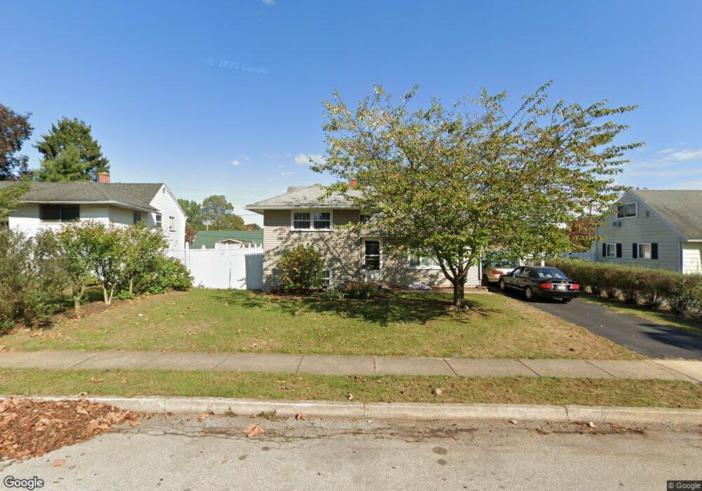
1209 Devers Rd York, PA 17404
Devers NeighborhoodEstimated Value: $167,000 - $197,000
3
Beds
1
Bath
1,036
Sq Ft
$181/Sq Ft
Est. Value
About This Home
This home is located at 1209 Devers Rd, York, PA 17404 and is currently estimated at $187,594, approximately $181 per square foot. 1209 Devers Rd is a home located in York County with nearby schools including Jacob L. Devers School, William Penn Senior High School, and York Academy Regional Charter Lower School.
Ownership History
Date
Name
Owned For
Owner Type
Purchase Details
Closed on
May 30, 2001
Sold by
Alwine Carol J
Bought by
Bowers Carrie A
Current Estimated Value
Home Financials for this Owner
Home Financials are based on the most recent Mortgage that was taken out on this home.
Original Mortgage
$70,894
Outstanding Balance
$26,906
Interest Rate
7.09%
Mortgage Type
FHA
Estimated Equity
$160,688
Purchase Details
Closed on
Aug 29, 1988
Bought by
Alwine Carol J
Create a Home Valuation Report for This Property
The Home Valuation Report is an in-depth analysis detailing your home's value as well as a comparison with similar homes in the area
Home Values in the Area
Average Home Value in this Area
Purchase History
| Date | Buyer | Sale Price | Title Company |
|---|---|---|---|
| Bowers Carrie A | $74,900 | -- | |
| Alwine Carol J | $58,000 | -- |
Source: Public Records
Mortgage History
| Date | Status | Borrower | Loan Amount |
|---|---|---|---|
| Open | Bowers Carrie A | $70,894 | |
| Closed | Bowers Carrie A | $5,628 |
Source: Public Records
Tax History Compared to Growth
Tax History
| Year | Tax Paid | Tax Assessment Tax Assessment Total Assessment is a certain percentage of the fair market value that is determined by local assessors to be the total taxable value of land and additions on the property. | Land | Improvement |
|---|---|---|---|---|
| 2025 | $5,133 | $81,240 | $20,600 | $60,640 |
| 2024 | $5,044 | $81,240 | $20,600 | $60,640 |
| 2023 | $5,044 | $81,240 | $20,600 | $60,640 |
| 2022 | $5,015 | $81,240 | $20,600 | $60,640 |
| 2021 | $4,876 | $81,240 | $20,600 | $60,640 |
| 2020 | $4,761 | $81,240 | $20,600 | $60,640 |
| 2019 | $4,753 | $81,240 | $20,600 | $60,640 |
| 2018 | $4,753 | $81,240 | $20,600 | $60,640 |
| 2017 | $4,817 | $81,240 | $20,600 | $60,640 |
| 2016 | -- | $81,240 | $20,600 | $60,640 |
| 2015 | $4,244 | $81,240 | $20,600 | $60,640 |
| 2014 | $4,244 | $81,240 | $20,600 | $60,640 |
Source: Public Records
Map
Nearby Homes
- 1327 Ben Hogan Way
- 1355 Ben Hogan Way
- 856 Gunnison Rd
- 1416 Dartmouth Rd
- 1116 Burgard St
- 820 Gunnison Rd
- 857 859 Tioga St
- 806 Pacific Ave
- 619 Colony Dr Unit 32F
- 1618 Devers Rd Unit 7C
- 1750 Devers Rd Unit 2F
- 745 Oatman St
- 1360 Breezeview Dr
- 1118 N George St
- 383 Maryland Ave
- 827 Roosevelt Ave
- 110 Taft Ave
- 1030 N Duke St
- 1015 N Duke St
- 540 N Pershing Ave
- 1205 Devers Rd
- 1213 Devers Rd
- 1208 Devers Rd
- 1212 Devers Rd
- 1208 Continental Rd
- 1204 Devers Rd
- 1212 Continental Rd
- 1204 Continental Rd
- 1217 Devers Rd
- 1216 Devers Rd
- 1201 Devers Rd
- 727 Fireside Rd
- 1216 Continental Rd
- 1200 Continental Rd
- 1200 Devers Rd
- 1220 Continental Rd
- 1221 Devers Rd
- 743 Fireside Rd
- 1224 Continental Rd
- 1209 Continental Rd