1209 Highway 53 S Gurdon, AR 71743
Estimated Value: $100,000 - $237,000
--
Bed
3
Baths
2,542
Sq Ft
$71/Sq Ft
Est. Value
About This Home
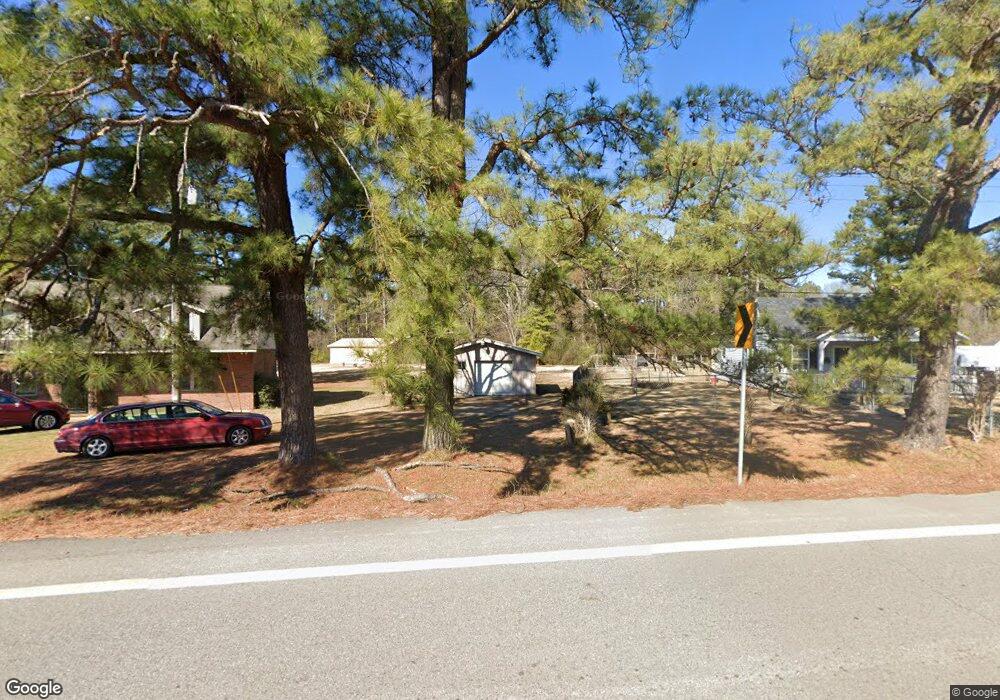
This home is located at 1209 Highway 53 S, Gurdon, AR 71743 and is currently estimated at $179,378, approximately $70 per square foot. 1209 Highway 53 S is a home located in Clark County with nearby schools including Gurdon Primary School, Cabe Middle School, and Gurdon High School.
Ownership History
Date
Name
Owned For
Owner Type
Purchase Details
Closed on
Apr 16, 2025
Sold by
Butler Russell
Bought by
Butler Emmy Sue
Current Estimated Value
Purchase Details
Closed on
Mar 6, 2025
Sold by
Butler Russell
Bought by
Butler Emmy Sue Blanton
Purchase Details
Closed on
Oct 2, 1990
Bought by
Benson
Purchase Details
Closed on
Oct 1, 1990
Bought by
Benson
Purchase Details
Closed on
Jun 1, 1986
Bought by
Nelson
Create a Home Valuation Report for This Property
The Home Valuation Report is an in-depth analysis detailing your home's value as well as a comparison with similar homes in the area
Home Values in the Area
Average Home Value in this Area
Purchase History
| Date | Buyer | Sale Price | Title Company |
|---|---|---|---|
| Butler Emmy Sue | -- | None Listed On Document | |
| Butler Emmy Sue Blanton | -- | None Listed On Document | |
| Benson | $25,000 | -- | |
| Benson | -- | -- | |
| Nelson | -- | -- |
Source: Public Records
Tax History Compared to Growth
Tax History
| Year | Tax Paid | Tax Assessment Tax Assessment Total Assessment is a certain percentage of the fair market value that is determined by local assessors to be the total taxable value of land and additions on the property. | Land | Improvement |
|---|---|---|---|---|
| 2024 | $325 | $22,680 | $400 | $22,280 |
| 2023 | $400 | $22,680 | $400 | $22,280 |
| 2022 | $335 | $22,680 | $400 | $22,280 |
| 2021 | $335 | $22,680 | $400 | $22,280 |
| 2020 | $335 | $22,680 | $400 | $22,280 |
| 2019 | $335 | $19,210 | $400 | $18,810 |
| 2018 | $352 | $19,210 | $400 | $18,810 |
| 2017 | $352 | $19,210 | $400 | $18,810 |
| 2016 | $352 | $19,210 | $400 | $18,810 |
| 2015 | $352 | $19,210 | $400 | $18,810 |
| 2014 | $352 | $16,470 | $260 | $16,210 |
Source: Public Records
Map
Nearby Homes
- TBD Kansas Rd
- 000 Kansas Rd
- 51 South St
- 326 Arkansas 53
- 0000 Arkansas 53
- 110 S 10th St
- 109 N 7th St
- 7104 Highway 67 S
- 103 Stonegate Ct
- 313 W Miller St
- 1795 Bowen Hill Rd
- TBD Hwy 67
- TBD Hwy 67 S
- 58 Dodgen Rd
- 236 Lockie Rd
- 0 Kansas Rd
- 845 Stevenson Rd
- 196 Stevenson Rd
- 652 Center Point
- 602 Stevenson Rd
- 1205 Highway 53 S
- 1245 Highway 53 S
- 52 Slack Rd
- 74 Slack Rd
- 1305 Highway 53 S
- 1256 Old Whelen Rd
- 1314 Highway 53 S
- 1314 Hwy 53 S
- S Hwy 53
- 1100 S 6th St
- 1324 Highway 53 S
- 407 Dean St
- 400 Dean St
- 206 Cedar St
- 204 Cedar St
- 1184 Old Whelen Rd
- 1194 Old Whelen Rd
- 323 Dean St
- Lot 4 S 6th St
- 1366 Highway 53 S