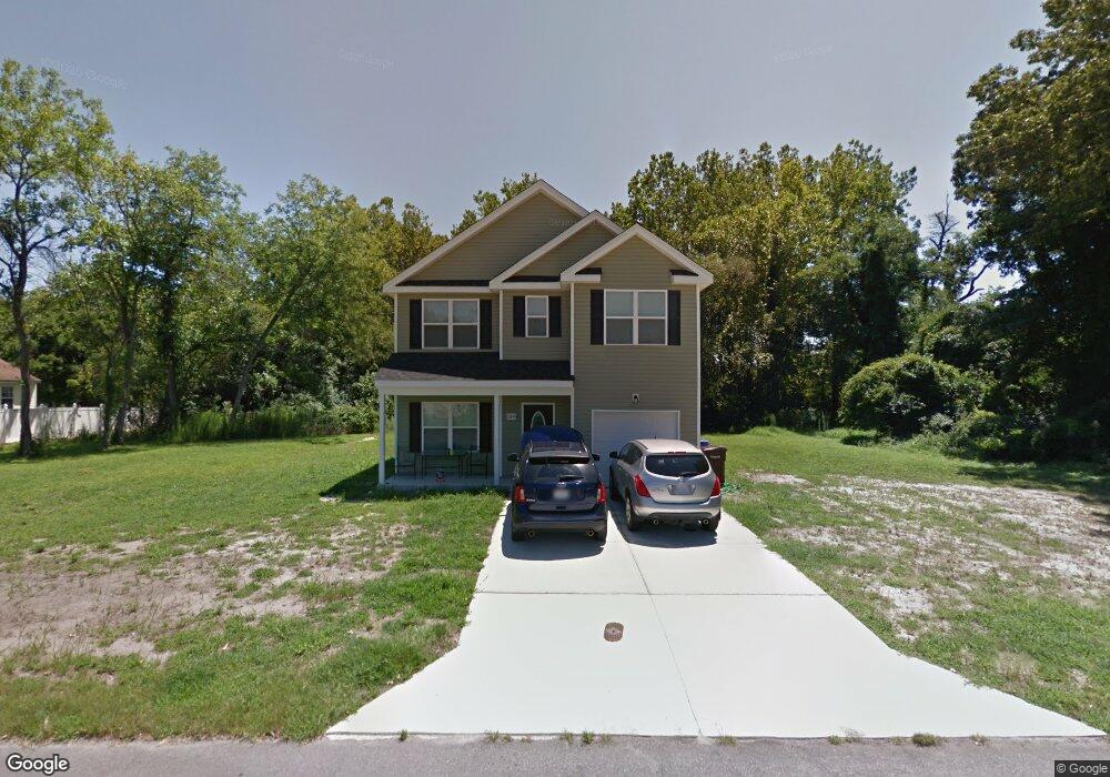
1209 Keats St Chesapeake, VA 23320
South Norfolk NeighborhoodEstimated Value: $396,000 - $435,688
4
Beds
3
Baths
2,000
Sq Ft
$207/Sq Ft
Est. Value
About This Home
This home is located at 1209 Keats St, Chesapeake, VA 23320 and is currently estimated at $413,922, approximately $206 per square foot. 1209 Keats St is a home located in Chesapeake City with nearby schools including B.M. Williams Primary School, Crestwood Intermediate School, and Crestwood Middle School.
Ownership History
Date
Name
Owned For
Owner Type
Purchase Details
Closed on
Sep 24, 2014
Sold by
Wetherington Homes Inc
Bought by
Gallman Mariah R
Current Estimated Value
Home Financials for this Owner
Home Financials are based on the most recent Mortgage that was taken out on this home.
Original Mortgage
$255,272
Outstanding Balance
$195,283
Interest Rate
4.12%
Mortgage Type
VA
Estimated Equity
$218,639
Purchase Details
Closed on
May 29, 2014
Sold by
Webster Margaret J
Bought by
Wetherington Homes Inc
Create a Home Valuation Report for This Property
The Home Valuation Report is an in-depth analysis detailing your home's value as well as a comparison with similar homes in the area
Home Values in the Area
Average Home Value in this Area
Purchase History
| Date | Buyer | Sale Price | Title Company |
|---|---|---|---|
| Gallman Mariah R | $249,900 | -- | |
| Wetherington Homes Inc | $57,500 | -- |
Source: Public Records
Mortgage History
| Date | Status | Borrower | Loan Amount |
|---|---|---|---|
| Open | Gallman Mariah R | $255,272 |
Source: Public Records
Tax History Compared to Growth
Tax History
| Year | Tax Paid | Tax Assessment Tax Assessment Total Assessment is a certain percentage of the fair market value that is determined by local assessors to be the total taxable value of land and additions on the property. | Land | Improvement |
|---|---|---|---|---|
| 2025 | $4,089 | $422,400 | $133,500 | $288,900 |
| 2024 | $4,089 | $404,900 | $123,500 | $281,400 |
| 2023 | $3,434 | $377,600 | $113,500 | $264,100 |
| 2022 | $3,386 | $335,200 | $105,900 | $229,300 |
| 2021 | $3,150 | $300,000 | $95,900 | $204,100 |
| 2020 | $2,947 | $280,700 | $90,900 | $189,800 |
| 2019 | $2,947 | $280,700 | $90,900 | $189,800 |
| 2018 | $2,584 | $241,200 | $79,500 | $161,700 |
| 2017 | $2,533 | $241,200 | $79,500 | $161,700 |
| 2016 | $2,533 | $241,200 | $79,500 | $161,700 |
| 2015 | $2,533 | $241,200 | $79,500 | $161,700 |
| 2014 | $1,230 | $117,100 | $79,500 | $37,600 |
Source: Public Records
Map
Nearby Homes
- 1225 Keats Station
- 1212 Saul Dr
- 806 Wadena Rd
- 1033 Robert Welch Ln
- 616 Lord Nelson Ct
- 412 Prince Phillip Ct
- 813 Mullen Rd
- 301 Lincoln Rd
- 407 Harbour North Dr
- 405 Harbour North Dr
- 403 Harbour North Dr
- 852 Mains Creek Rd
- 404 Kings Bishop Ct
- 112 Grant St
- 1509 Waitsel Dr Unit 204
- 1509 Waitsel Dr Unit 102
- 924 Wickford Dr
- 918 Wickford Dr
- 929 Costa Ave
- 1114 Railroad Ave
- 1213 Keats St
- 1200 Keats Station
- 1201 Keats Landing
- 1205 Keats Landing
- 1200 Keats Landing
- 1204 Keats Station
- 500 Oneal Ln
- 1205 Keats Station
- 1223 Keats St
- 1720 Bancroft Rd
- 1209 Keats Landing
- 1204 Keats Landing
- 1208 Keats Landing
- 1208 Keats Station
- 1217 Keats Station
- 1229 Keats St
- 1136 Keats St
- 1231 Keats St
- 1212 Keats Station
- 1221 Keats Station