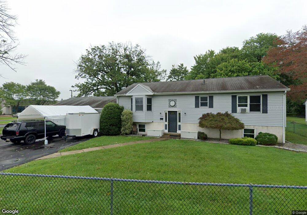
1209 Mildred Ave Bensalem, PA 19020
Estimated Value: $363,000 - $397,000
3
Beds
2
Baths
1,248
Sq Ft
$308/Sq Ft
Est. Value
About This Home
This home is located at 1209 Mildred Ave, Bensalem, PA 19020 and is currently estimated at $384,741, approximately $308 per square foot. 1209 Mildred Ave is a home located in Bucks County with nearby schools including Robert K. Shafer Middle School, School Lane Charter School, and St Charles Borromeo School.
Ownership History
Date
Name
Owned For
Owner Type
Purchase Details
Closed on
Oct 22, 1999
Sold by
Associates Home Equity Consumer Discount
Bought by
Forrest Norman M
Current Estimated Value
Home Financials for this Owner
Home Financials are based on the most recent Mortgage that was taken out on this home.
Original Mortgage
$88,000
Interest Rate
7.78%
Purchase Details
Closed on
Feb 11, 1999
Sold by
Wendler Richard and Wendler Susan M
Bought by
Assoc Home Equity Consumer Discount Co I
Create a Home Valuation Report for This Property
The Home Valuation Report is an in-depth analysis detailing your home's value as well as a comparison with similar homes in the area
Home Values in the Area
Average Home Value in this Area
Purchase History
| Date | Buyer | Sale Price | Title Company |
|---|---|---|---|
| Forrest Norman M | $110,000 | -- | |
| Assoc Home Equity Consumer Discount Co I | $105,153 | -- |
Source: Public Records
Mortgage History
| Date | Status | Borrower | Loan Amount |
|---|---|---|---|
| Closed | Forrest Norman M | $88,000 |
Source: Public Records
Tax History Compared to Growth
Tax History
| Year | Tax Paid | Tax Assessment Tax Assessment Total Assessment is a certain percentage of the fair market value that is determined by local assessors to be the total taxable value of land and additions on the property. | Land | Improvement |
|---|---|---|---|---|
| 2025 | $5,091 | $23,320 | $4,320 | $19,000 |
| 2024 | $5,091 | $23,320 | $4,320 | $19,000 |
| 2023 | $4,947 | $23,320 | $4,320 | $19,000 |
| 2022 | $4,918 | $23,320 | $4,320 | $19,000 |
| 2021 | $4,918 | $23,320 | $4,320 | $19,000 |
| 2020 | $4,869 | $23,320 | $4,320 | $19,000 |
| 2019 | $4,760 | $23,320 | $4,320 | $19,000 |
| 2018 | $4,650 | $23,320 | $4,320 | $19,000 |
| 2017 | $4,621 | $23,320 | $4,320 | $19,000 |
| 2016 | $4,621 | $23,320 | $4,320 | $19,000 |
| 2015 | -- | $23,320 | $4,320 | $19,000 |
| 2014 | -- | $23,320 | $4,320 | $19,000 |
Source: Public Records
Map
Nearby Homes
- 1202 Clinton Ave
- 1039 Clinton Ave
- 1080 Buttonwood Ave
- 1126 Evelyn Ave
- 1236 Whittier Ave
- 827 Mitchell Ave
- 1103 Colonial Ave
- 4161 Orchard Ln
- 4471 Ernie Davis Cir
- 124 Meadow Ln
- 1155 Regina Ave
- 4374 Deerpath Ln
- 227 Dimarco Dr
- 102 Village Ln
- 1742 Paradise Ln
- 1032 Sunset Ln
- 4274 Lawnside Rd
- 4208 Greenmount Rd
- 943 Cornwells Ave
- 2025 State Rd
- 895 Tennis Ave Unit C
- 895 Tennis Ave Unit A
- 857 Biddle Ln
- 1205 Mildred Ave
- 1230 Mildred Ave
- 1203 Mildred Ave
- 847 Biddle Ln
- 1208 Mildred Ave
- 1193 Mildred Ave
- 1224 Highland Ave
- 935 Ann St
- 1212 Highland Ave
- 1215 Bristol Pike
- 1202 Highland Ave
- 1203 Bristol Pike
- 1193 Bristol Pike Unit A
- 1193 Bristol Pike Unit D
- 1193 Bristol Pike
- 1193 Bristol Pike Unit D
- 1193 Bristol Pike Unit 1F