1209 Moultrie Rd Albany, GA 31705
Dixie Heights NeighborhoodEstimated Value: $108,000 - $5,397,082
3
Beds
2
Baths
2,837
Sq Ft
$1,262/Sq Ft
Est. Value
About This Home
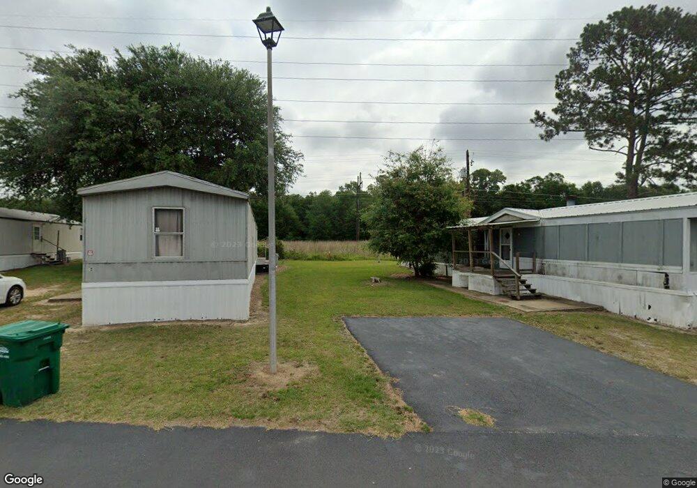
This home is located at 1209 Moultrie Rd, Albany, GA 31705 and is currently estimated at $3,581,027, approximately $1,262 per square foot. 1209 Moultrie Rd is a home located in Dougherty County with nearby schools including Radium Springs Elementary School, Radium Springs Middle School, and Albany Middle School.
Ownership History
Date
Name
Owned For
Owner Type
Purchase Details
Closed on
Oct 30, 2020
Sold by
Brady Wade G
Bought by
Albany Mhc Llc
Current Estimated Value
Purchase Details
Closed on
Jan 31, 2002
Sold by
Ccf Lp A Del Lp Fka R O C F Inc
Bought by
Brady Wade G
Purchase Details
Closed on
Aug 25, 1993
Sold by
Albany Limited
Bought by
R O C F Inc
Purchase Details
Closed on
Nov 30, 1983
Sold by
River Oaks Communiti
Bought by
Albany Limited
Purchase Details
Closed on
Nov 15, 1983
Sold by
Oxford Construction
Bought by
River Oaks Comm
Create a Home Valuation Report for This Property
The Home Valuation Report is an in-depth analysis detailing your home's value as well as a comparison with similar homes in the area
Home Values in the Area
Average Home Value in this Area
Purchase History
| Date | Buyer | Sale Price | Title Company |
|---|---|---|---|
| Albany Mhc Llc | $3,600,000 | -- | |
| Brady Wade G | $996,200 | -- | |
| R O C F Inc | $1,491,000 | -- | |
| Albany Limited | $1,100,000 | -- | |
| River Oaks Comm | -- | -- |
Source: Public Records
Tax History Compared to Growth
Tax History
| Year | Tax Paid | Tax Assessment Tax Assessment Total Assessment is a certain percentage of the fair market value that is determined by local assessors to be the total taxable value of land and additions on the property. | Land | Improvement |
|---|---|---|---|---|
| 2024 | $21,068 | $441,600 | $127,800 | $313,800 |
| 2023 | $20,574 | $441,600 | $127,800 | $313,800 |
| 2022 | $20,650 | $441,600 | $127,800 | $313,800 |
| 2021 | $19,145 | $441,600 | $127,800 | $313,800 |
| 2020 | $19,190 | $441,600 | $127,800 | $313,800 |
| 2019 | $19,263 | $441,600 | $127,800 | $313,800 |
| 2018 | $19,345 | $441,600 | $127,800 | $313,800 |
| 2017 | $18,020 | $441,600 | $127,800 | $313,800 |
| 2016 | $18,031 | $441,600 | $127,800 | $313,800 |
| 2015 | $18,080 | $441,600 | $127,800 | $313,800 |
| 2014 | $16,131 | $399,000 | $85,200 | $313,800 |
Source: Public Records
Map
Nearby Homes
- 1304 Mobile Ave
- 414 Bush St
- 1102 Van Deman St
- 104 Daniel Ct
- 113 Morningside Dr
- 111 Morningside Dr
- 2221 Duitman Rd
- 410 Rosser Ln
- 811 S Maple St
- 1011 Crawford Dr
- 939 Crawford Dr
- 502 Mitchell Ave
- 1401 E Waddell Ave
- 608 Cason St
- 1411 E Gordon Ave
- 916 Crawford Dr
- 1400 E Lincoln Ave
- 410 Redbud Rd
- 206 Raintree Dr
- 1408 E Mercer Ave
- 41 Dobbs Dr
- 0 Liberty Expy Unit 7503103
- 0 Liberty Expy Unit 7591635
- 1108 Moultrie Rd
- 1106 Moultrie Rd
- 1102 Moultrie Rd
- 1100 Moultrie Rd
- 1336 Mercantile Dr
- 429 Cannon Ave
- 1026 Moultrie Rd
- 424 Cannon Ave
- 428 Cannon Ave
- 422 Cannon Ave
- 1024 Moultrie Rd
- 1024 Moultrie Rd
- 0 Georgia 133
- 420 Cannon Ave
- 1336 Montego Ct
- 1332 Montego Ct
- 1334 Montego Ct