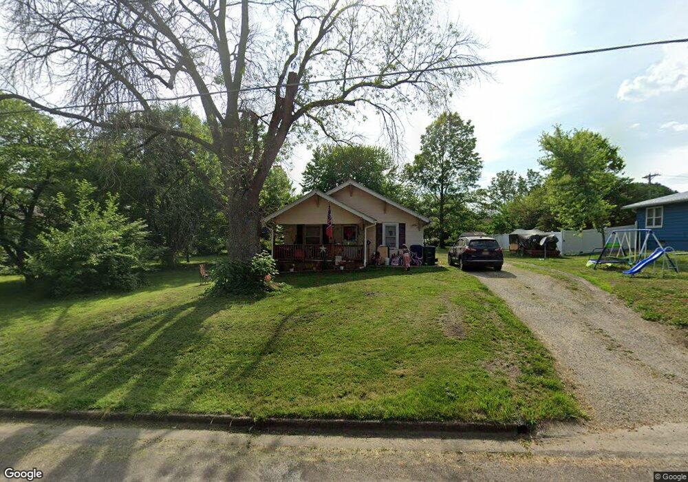
1209 N State St Brookfield, MO 64628
Estimated Value: $82,711 - $153,000
About This Home
This home is located at 1209 N State St, Brookfield, MO 64628 and is currently estimated at $111,178, approximately $104 per square foot. 1209 N State St is a home located in Linn County with nearby schools including Brookfield Elementary School, Brookfield Middle School, and Brookfield High School.
Ownership History
We collect this data history from publicly available records. To have your information removed, we recommend requesting removal directly through your county’s website.
Purchase Details
Home Financials for this Owner
Home Financials are based on the most recent Mortgage that was taken out on this home.Purchase Details
Home Values in the Area
Average Home Value in this Area
Purchase History
We collect this data history from publicly available records. To have your information removed, we recommend requesting removal directly through your county’s website.
| Date | Buyer | Sale Price | Title Company |
|---|---|---|---|
| $33,100 | Professional Land Title Co | ||
| $35,500 | -- |
Mortgage History
We collect this data history from publicly available records. To have your information removed, we recommend requesting removal directly through your county’s website.
| Date | Status | Borrower | Loan Amount |
|---|---|---|---|
| Open | $26,400 |
Tax History
We collect this data history from publicly available records. To have your information removed, we recommend requesting removal directly through your county’s website.
| Year | Tax Paid | Tax Assessment Tax Assessment Total Assessment is a certain percentage of the fair market value that is determined by local assessors to be the total taxable value of land and additions on the property. | Land | Improvement |
|---|---|---|---|---|
| 2025 | $340 | $5,407 | $1,577 | $3,830 |
| 2024 | $3 | $5,225 | $1,577 | $3,648 |
| 2023 | $326 | $5,225 | $1,577 | $3,648 |
| 2022 | $402 | $6,422 | $1,577 | $4,845 |
| 2021 | $388 | $6,422 | $1,577 | $4,845 |
| 2020 | $403 | $6,422 | $1,577 | $4,845 |
| 2019 | $403 | $6,422 | $1,577 | $4,845 |
| 2018 | $402 | $6,441 | $1,577 | $4,864 |
| 2015 | -- | $6,327 | $1,672 | $4,655 |
| 2011 | -- | $31,600 | $7,200 | $24,400 |
Map
- 1101 Sunset Hill Rd
- 1009 Brookfield Ave
- 627 Mcgowan St
- 420 Smith St
- 816 Mcgowan St
- 716 Strawbridge St
- 815 Meade St
- 1019 N Monroe St
- 721 Lincoln St
- 515 Shelby St
- 409 E Sedgwick St
- 316 Macon St
- 323 N Clinton St
- 303 Shelby St
- 1207 Hilltop Dr
- 117 E Clark St
- 209 Sanford St
- 412 S Main St
- 415 S Livingston St
- 419 Nichols St
- 1205 N State St
- 1211 N State St
- 1210 N State St
- 1206 N State St
- 1214 N State St
- 1208 Crest Rd
- 1201 N State St
- 300 Walnut St
- 300 Maple St
- 1202 N State St
- 220 Maple St
- 1304 N State St
- 1300 Crest Rd
- 1309 N State St
- 230 Walnut St
- 1112 Brookfield Ave
- 1308 N State St
- 1203 Crest Rd
- 215 Maple St
- 1206 Sunset Hill Rd
Ask me questions while you tour the home.