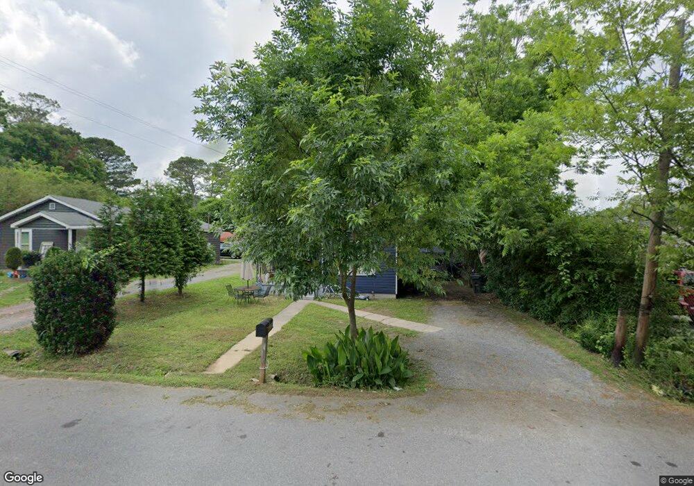
1209 Nelson St Dalton, GA 30721
Estimated Value: $121,375 - $227,000
2
Beds
1
Bath
874
Sq Ft
$189/Sq Ft
Est. Value
About This Home
This home is located at 1209 Nelson St, Dalton, GA 30721 and is currently estimated at $165,594, approximately $189 per square foot. 1209 Nelson St is a home located in Whitfield County with nearby schools including Roan Elementary School, Dalton Middle School, and Dalton High School.
Ownership History
Date
Name
Owned For
Owner Type
Purchase Details
Closed on
Apr 12, 2010
Sold by
Suntrust Bank
Bought by
Cox John R
Current Estimated Value
Home Financials for this Owner
Home Financials are based on the most recent Mortgage that was taken out on this home.
Original Mortgage
$20,733
Outstanding Balance
$13,768
Interest Rate
4.94%
Mortgage Type
New Conventional
Estimated Equity
$151,826
Purchase Details
Closed on
Jun 19, 2005
Sold by
Clark Kaye
Bought by
Cisneros Garcia Antonio
Purchase Details
Closed on
Mar 30, 2005
Sold by
Not Provided
Bought by
Cox John R
Purchase Details
Closed on
Oct 1, 1997
Bought by
Todd Sandra Mantooth
Create a Home Valuation Report for This Property
The Home Valuation Report is an in-depth analysis detailing your home's value as well as a comparison with similar homes in the area
Home Values in the Area
Average Home Value in this Area
Purchase History
| Date | Buyer | Sale Price | Title Company |
|---|---|---|---|
| Cox John R | $22,900 | -- | |
| Cisneros Garcia Antonio | $72,500 | -- | |
| Cox John R | $48,000 | -- | |
| Todd Sandra Mantooth | -- | -- |
Source: Public Records
Mortgage History
| Date | Status | Borrower | Loan Amount |
|---|---|---|---|
| Open | Cox John R | $20,733 |
Source: Public Records
Tax History Compared to Growth
Tax History
| Year | Tax Paid | Tax Assessment Tax Assessment Total Assessment is a certain percentage of the fair market value that is determined by local assessors to be the total taxable value of land and additions on the property. | Land | Improvement |
|---|---|---|---|---|
| 2024 | $790 | $46,019 | $8,400 | $37,619 |
| 2023 | $790 | $21,334 | $5,400 | $15,934 |
| 2022 | $617 | $17,900 | $5,400 | $12,500 |
| 2021 | $617 | $17,900 | $5,400 | $12,500 |
| 2020 | $641 | $17,900 | $5,400 | $12,500 |
| 2019 | $661 | $17,900 | $5,400 | $12,500 |
| 2018 | $671 | $17,900 | $5,400 | $12,500 |
| 2017 | $646 | $17,900 | $5,400 | $12,500 |
| 2016 | $521 | $14,330 | $2,940 | $11,390 |
| 2014 | $473 | $14,330 | $2,940 | $11,390 |
| 2013 | -- | $14,330 | $2,940 | $11,390 |
Source: Public Records
Map
Nearby Homes
- 1118 Dozier St
- 303 Janice St
- 0 Robinwood Dr
- 301B Fields Ave
- 204 N Bogle St
- 0 Dogwood Dr
- 825 Martin Luther King jr Blvd
- 311 Shady Ln
- 711 E Morris St
- 432 4th Ave
- 502 E Woodland Dr
- 503 Harris St
- 606 Virginia Ave
- 519 Abigail St
- 533 Underwood St
- 430 Lester Ave
- 514 Sheridan Ave
- 0 Underwood St Unit 129860
- 230 Henderson St
- 1902 Bartenfield Dr
- 1211 Nelson St
- 1207 Nelson St
- 1213 Nelson St
- 1205 Nelson St
- 1210 Foster St
- 1208 Foster St
- 1208 Nelson St
- 1217 Nelson St
- 1206 Foster St
- 1212 Foster St
- 1214 Foster St
- 1200 Foster St
- 1201 Nelson St
- 1204 Nelson St
- 1221 Nelson St
- 1222 Nelson St
- 1301 Foster St
- 1303 Foster St
- 122 N Grimes St
- 124 N Grimes St