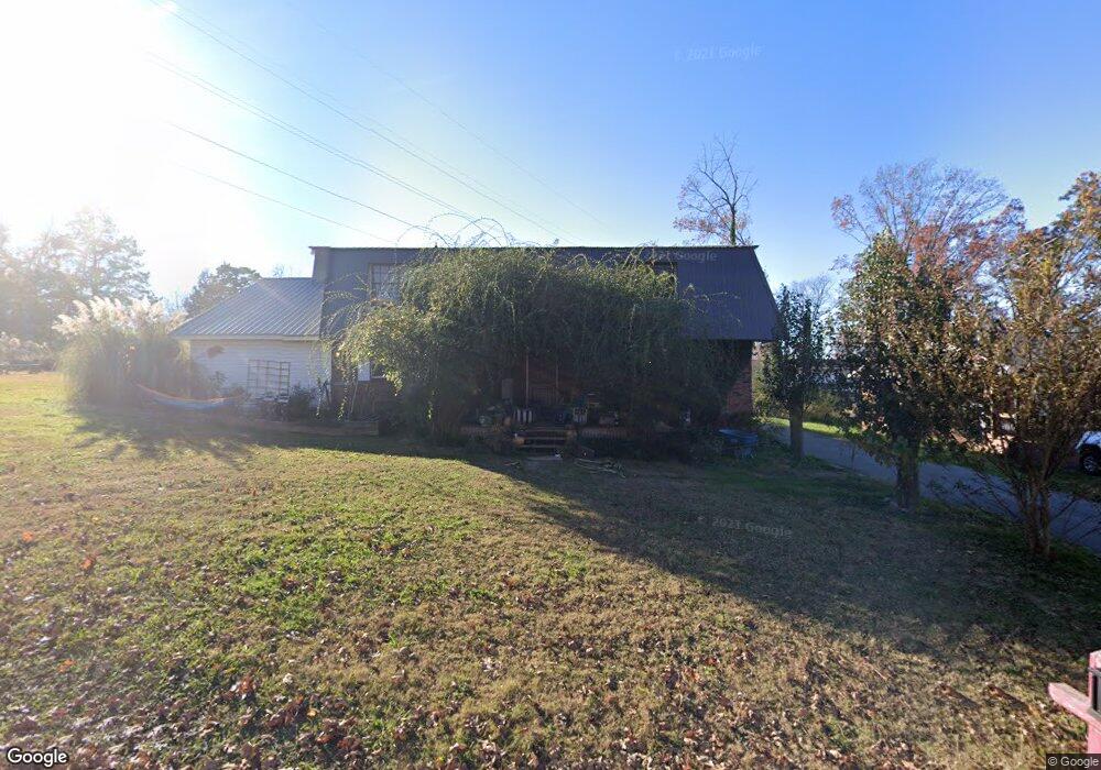
1209 Park Forrest Dr Fort Oglethorpe, GA 30742
Estimated Value: $353,605 - $405,000
--
Bed
4
Baths
3,400
Sq Ft
$111/Sq Ft
Est. Value
About This Home
This home is located at 1209 Park Forrest Dr, Fort Oglethorpe, GA 30742 and is currently estimated at $376,901, approximately $110 per square foot. 1209 Park Forrest Dr is a home located in Catoosa County with nearby schools including Battlefield Primary School, Battlefield Elementary School, and Lakeview Middle School.
Ownership History
Date
Name
Owned For
Owner Type
Purchase Details
Closed on
Sep 28, 2021
Sold by
Austin Sarah Morgan
Bought by
Austin Sarah Morgan and Austin William F
Current Estimated Value
Purchase Details
Closed on
Feb 5, 2010
Sold by
Morgan Donna
Bought by
Thurman Sarah Jolyn
Purchase Details
Closed on
Oct 6, 1999
Bought by
Morgan Charles and Morgan Wife
Create a Home Valuation Report for This Property
The Home Valuation Report is an in-depth analysis detailing your home's value as well as a comparison with similar homes in the area
Home Values in the Area
Average Home Value in this Area
Purchase History
| Date | Buyer | Sale Price | Title Company |
|---|---|---|---|
| Austin Sarah Morgan | -- | -- | |
| Thurman Sarah Jolyn | -- | -- | |
| Morgan Charles | -- | -- |
Source: Public Records
Tax History Compared to Growth
Tax History
| Year | Tax Paid | Tax Assessment Tax Assessment Total Assessment is a certain percentage of the fair market value that is determined by local assessors to be the total taxable value of land and additions on the property. | Land | Improvement |
|---|---|---|---|---|
| 2024 | $2,719 | $118,742 | $14,347 | $104,395 |
| 2023 | $2,147 | $92,038 | $14,347 | $77,691 |
| 2022 | $1,543 | $70,519 | $14,347 | $56,172 |
| 2021 | $1,445 | $70,519 | $14,347 | $56,172 |
| 2020 | $1,836 | $62,195 | $14,347 | $47,848 |
| 2019 | $1,369 | $62,195 | $14,347 | $47,848 |
| 2018 | $1,904 | $60,760 | $12,912 | $47,848 |
| 2017 | $1,384 | $60,329 | $12,912 | $47,417 |
| 2016 | $1,317 | $56,222 | $12,912 | $43,310 |
| 2015 | -- | $56,222 | $12,912 | $43,310 |
| 2014 | -- | $56,969 | $12,912 | $44,057 |
| 2013 | -- | $59,141 | $12,912 | $46,229 |
Source: Public Records
Map
Nearby Homes
- 1305 Park Forrest Dr
- 6 Rocky Ford Rd
- 64 Stovall St
- 124 Colony Cir
- 99 Battlewood Dr
- 351 Franklin Cir
- 0 Battlefield Pkwy Unit 129870
- 183 McDonald Dr
- 129 Cedar Grove Ln
- 325 Mockingbird Ln
- 84 Elaine Cir
- 52 S Glade Rd
- 300 Dogwood Ln
- 301 Dogwood Ln
- 17 Southshore Dr
- 59 Gattis Dr
- 38 Phillips Dr
- 504 Frieda Dr
- 15 Walker Ave
- 2237 Cloud Springs Rd
- 1205 Park Forrest Dr Unit 1207
- 12081210 Park Forrest Dr
- 12121214 Park Forrest Dr
- 1208 Park Forrest Dr
- 1212 Park Forrest Dr
- 219 S Cedar Ln
- 1204 Park Forrest Dr
- 265 S Cedar Ln
- 265 S Cedar Ln Unit All
- 1201 Park Forrest Dr
- 1213 Park Forrest Dr
- 402 S Cedar Ln
- 0 S Cedar Ln
- 1200 Park Forrest Dr
- 1300 Park Forrest Dr
- 15 Hickory Ln
- 11 Hickory Ln
- 1109 Park Forrest Dr
- 1217 Park Forrest Dr Unit 1219
- 262 S Cedar Ln