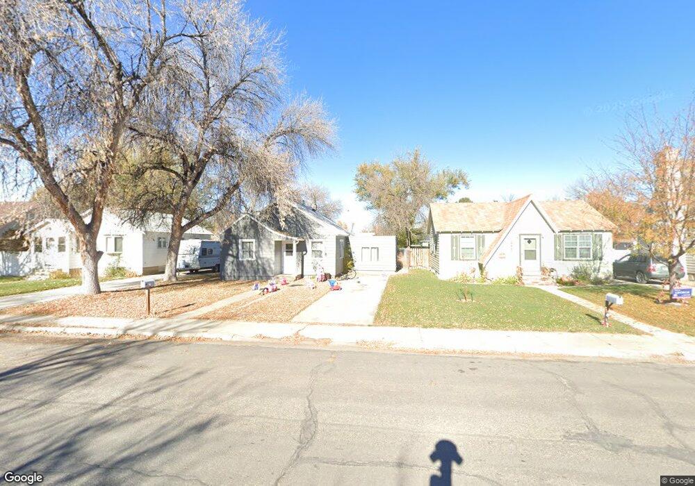
1209 Pulliam Ave Worland, WY 82401
Estimated Value: $116,411 - $164,000
2
Beds
1
Bath
1,041
Sq Ft
$136/Sq Ft
Est. Value
About This Home
This home is located at 1209 Pulliam Ave, Worland, WY 82401 and is currently estimated at $141,137, approximately $135 per square foot. 1209 Pulliam Ave is a home located in Washakie County with nearby schools including East Side Elementary School, South Side Elementary School, and West Side Elementary School.
Ownership History
Date
Name
Owned For
Owner Type
Purchase Details
Closed on
Jul 27, 2023
Sold by
Jonetta A Elmore Living Trust
Bought by
Pulliam Enterprises Llc
Current Estimated Value
Purchase Details
Closed on
Apr 14, 2022
Sold by
Mcintosh Robin J
Bought by
Jonetta A Elmore Living Trust
Purchase Details
Closed on
Jan 22, 2015
Sold by
Mclntosh Robin J and Mclntosh Shilo A
Bought by
Mclntosh Robin J
Create a Home Valuation Report for This Property
The Home Valuation Report is an in-depth analysis detailing your home's value as well as a comparison with similar homes in the area
Home Values in the Area
Average Home Value in this Area
Purchase History
| Date | Buyer | Sale Price | Title Company |
|---|---|---|---|
| Pulliam Enterprises Llc | -- | None Listed On Document | |
| Jonetta A Elmore Living Trust | -- | None Listed On Document | |
| Mclntosh Robin J | -- | None Available |
Source: Public Records
Tax History
| Year | Tax Paid | Tax Assessment Tax Assessment Total Assessment is a certain percentage of the fair market value that is determined by local assessors to be the total taxable value of land and additions on the property. | Land | Improvement |
|---|---|---|---|---|
| 2025 | $537 | $7,058 | $2,025 | $5,033 |
| 2024 | $693 | $9,101 | $2,648 | $6,453 |
| 2023 | $708 | $9,293 | $1,663 | $7,630 |
| 2022 | $583 | $7,652 | $1,663 | $5,989 |
| 2021 | $484 | $6,357 | $1,330 | $5,027 |
| 2020 | $542 | $7,112 | $2,185 | $4,927 |
| 2019 | $563 | $7,388 | $2,185 | $5,203 |
| 2018 | $477 | $6,266 | $1,710 | $4,556 |
| 2017 | $492 | $6,465 | $1,995 | $4,470 |
| 2016 | $489 | $6,416 | $1,805 | $4,611 |
| 2015 | -- | $7,559 | $1,805 | $5,754 |
| 2014 | -- | $7,520 | $1,995 | $5,525 |
Source: Public Records
Map
Nearby Homes
- 1301 Pulliam Ave
- 1300 Coburn Ave
- 1313 Russell Ave
- 1022 Russell Ave
- 2366 U S 20
- 2386 U S 20
- 2396 U S 20
- 400, 402, 406 N 8th St
- 1100 Grace Ave
- 1800 Circle Rd
- 1807 Crest Way
- 1812 Yellowstone Ave
- 821 Obie Sue Ave
- 2005 Gregg Ave
- 811 Howell Ave
- 1521 Charles Ave
- 722 S 13th St
- 824 Park Ave
- 2211 Big Horn Ave
- 520 Obie Sue Ave
- 1213 Pulliam Ave
- 1207 Pulliam Ave
- 1217 Pulliam Ave
- 1217 Pulliam Ave Unit 12TH
- 1201 Pulliam Ave
- 1210 South Ln
- 1212 South Ln
- 1208 South Ln
- 1202 Pulliam Ave
- 1214 South Ln
- 1121 Pulliam Ave
- 1208 Pulliam Ave
- 1212 Pulliam Ave
- 1216 Pulliam Ave
- 1206 South Ln
- 1220 Pulliam Ave
- 1216 South Ln
- 214 N 12th St
- 1117 Pulliam Ave
- 215 N 13th St
Your Personal Tour Guide
Ask me questions while you tour the home.