1209 Riverside Dr Mays Landing, NJ 08330
Estimated Value: $475,000 - $751,000
--
Bed
--
Bath
1,541
Sq Ft
$428/Sq Ft
Est. Value
About This Home
This home is located at 1209 Riverside Dr, Mays Landing, NJ 08330 and is currently estimated at $659,140, approximately $427 per square foot. 1209 Riverside Dr is a home located in Atlantic County with nearby schools including Weymouth Twp Elementary School and Mays Landing Baptist Academy.
Ownership History
Date
Name
Owned For
Owner Type
Purchase Details
Closed on
May 27, 2021
Sold by
Saxton Dana J and Estate Of Roland C Grand
Bought by
Linus Edward J and Linus Darlene M
Current Estimated Value
Home Financials for this Owner
Home Financials are based on the most recent Mortgage that was taken out on this home.
Original Mortgage
$360,000
Interest Rate
2.8%
Mortgage Type
New Conventional
Purchase Details
Closed on
Aug 4, 2008
Sold by
Grund Roland C
Bought by
Grund Roland C
Create a Home Valuation Report for This Property
The Home Valuation Report is an in-depth analysis detailing your home's value as well as a comparison with similar homes in the area
Home Values in the Area
Average Home Value in this Area
Purchase History
| Date | Buyer | Sale Price | Title Company |
|---|---|---|---|
| Linus Edward J | $450,000 | Agents Title Llc | |
| Grund Roland C | -- | None Available |
Source: Public Records
Mortgage History
| Date | Status | Borrower | Loan Amount |
|---|---|---|---|
| Previous Owner | Linus Edward J | $360,000 |
Source: Public Records
Tax History Compared to Growth
Tax History
| Year | Tax Paid | Tax Assessment Tax Assessment Total Assessment is a certain percentage of the fair market value that is determined by local assessors to be the total taxable value of land and additions on the property. | Land | Improvement |
|---|---|---|---|---|
| 2025 | $11,008 | $389,100 | $281,600 | $107,500 |
| 2024 | $11,008 | $389,100 | $281,600 | $107,500 |
| 2023 | $10,552 | $389,100 | $281,600 | $107,500 |
| 2022 | $10,552 | $389,100 | $281,600 | $107,500 |
| 2021 | $10,580 | $389,100 | $281,600 | $107,500 |
| 2020 | $10,272 | $389,100 | $281,600 | $107,500 |
| 2019 | $9,973 | $389,100 | $281,600 | $107,500 |
| 2018 | $9,583 | $389,100 | $281,600 | $107,500 |
| 2017 | $9,629 | $389,100 | $281,600 | $107,500 |
| 2016 | $9,213 | $389,100 | $281,600 | $107,500 |
| 2015 | $8,812 | $389,100 | $281,600 | $107,500 |
| 2014 | $5,463 | $159,000 | $81,600 | $77,400 |
Source: Public Records
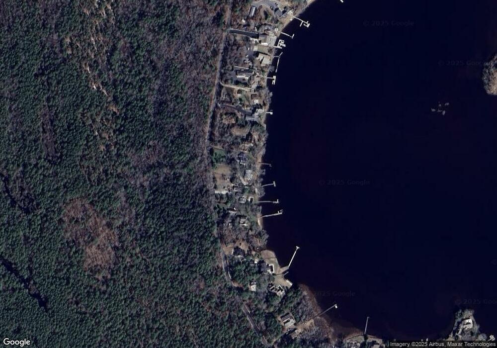
Map
Nearby Homes
- 1209 W Riverside Dr
- 1211 W Riverside Dr
- 1211 Riverside Dr
- 1207 Riverside Dr
- 1213 Riverside Dr
- 1205 Riverside Dr
- 1215 Riverside Dr
- 1201 Riverside Dr
- 1221 Riverside Dr
- 1131 Riverside Dr
- 1223 Riverside Dr
- 1129 Riverside Dr
- 1127 Riverside Dr
- 1225 Riverside Dr
- 1125 Riverside Dr
- 1227 W Riverside Dr
- 1123 Riverside Dr
- 1229 Riverside Dr
- 1121 Riverside Dr
- 1231 Riverside Dr