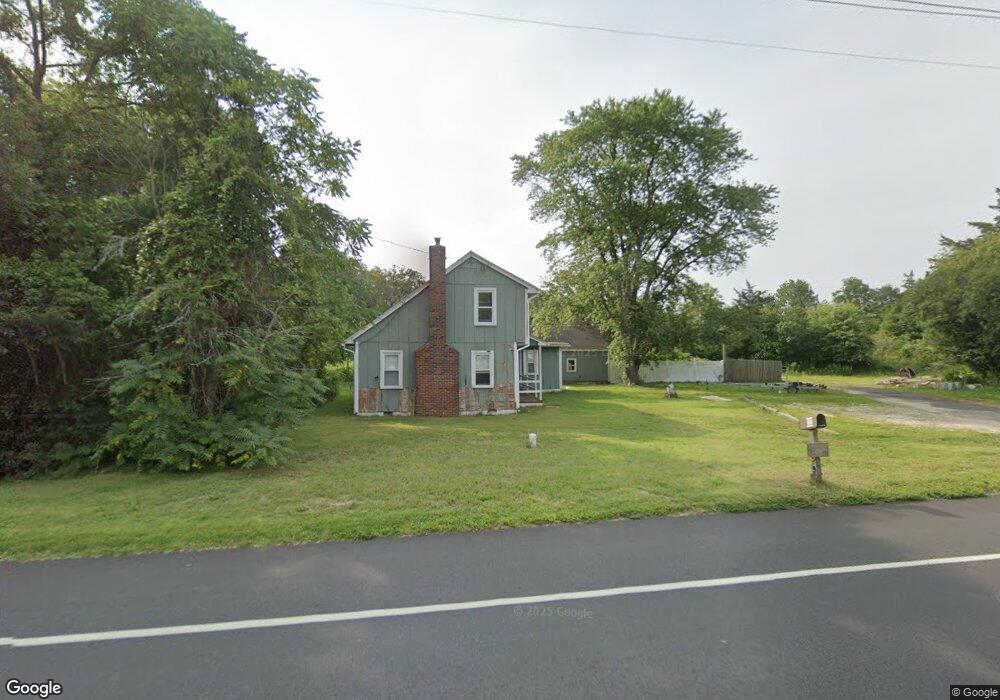
1209 Route 9 Ocean View, NJ 08230
Estimated Value: $272,000 - $409,000
Studio
--
Bath
1,500
Sq Ft
$232/Sq Ft
Est. Value
About This Home
This home is located at 1209 Route 9, Ocean View, NJ 08230 and is currently estimated at $347,498, approximately $231 per square foot. 1209 Route 9 is a home located in Cape May County with nearby schools including Upper Township Primary School, Upper Township Elementary School, and Upper Township Middle School.
Ownership History
Date
Name
Owned For
Owner Type
Purchase Details
Closed on
Nov 30, 2023
Sold by
Route 9 Llc
Bought by
Oceans Tide Llc
Current Estimated Value
Purchase Details
Closed on
Aug 22, 2023
Sold by
Sheriff Of The County Of Cape May
Bought by
Route 9 Llc and United States Of America
Purchase Details
Closed on
Sep 30, 1996
Sold by
Risdon Christopher L
Bought by
Chattan Robert and Jackson Michelle M
Home Financials for this Owner
Home Financials are based on the most recent Mortgage that was taken out on this home.
Original Mortgage
$73,000
Interest Rate
7.9%
Purchase Details
Closed on
Apr 27, 1990
Sold by
Gillespie Walter J
Bought by
Atlantic City Electric Co
Purchase Details
Closed on
Sep 15, 1987
Bought by
Gillespie Walter J
Create a Home Valuation Report for This Property
The Home Valuation Report is an in-depth analysis detailing your home's value as well as a comparison with similar homes in the area
Home Values in the Area
Average Home Value in this Area
Purchase History
| Date | Buyer | Sale Price | Title Company |
|---|---|---|---|
| Oceans Tide Llc | $210,000 | Title Company Of Jersey | |
| Oceans Tide Llc | $210,000 | Title Company Of Jersey | |
| Route 9 Llc | $123,301 | None Listed On Document | |
| Route 9 Llc | $123,301 | None Listed On Document | |
| Chattan Robert | $77,000 | -- | |
| Atlantic City Electric Co | -- | -- | |
| Gillespie Walter J | $125,000 | -- |
Source: Public Records
Mortgage History
| Date | Status | Borrower | Loan Amount |
|---|---|---|---|
| Previous Owner | Chattan Robert | $73,000 |
Source: Public Records
Tax History
| Year | Tax Paid | Tax Assessment Tax Assessment Total Assessment is a certain percentage of the fair market value that is determined by local assessors to be the total taxable value of land and additions on the property. | Land | Improvement |
|---|---|---|---|---|
| 2025 | $4,510 | $196,500 | $99,300 | $97,200 |
| 2024 | $4,510 | $196,500 | $99,300 | $97,200 |
Source: Public Records
Map
Nearby Homes
- 40 Butter Rd
- 124 Butter Rd
- 4 Bayview Ave
- 19 Bayview Ave
- 5 Klains Ln
- 46 Victoria Ln
- 297 Butter Rd
- 11 Evio John Ct
- 731 Oceancrest Ave
- 24 E Timber Dr
- 734 Stagecoach Rd
- 1729 Shore Rd
- 4 Sandcastle Dr
- 1731 Route 9 Unit 11
- 1731 Route 9 Unit 28
- 1731 Route 9 Unit 25
- 3 Sandcastle Dr
- 4 Prosit Ln
- 4 Prosit La
- 1431 Stagecoach Rd
- 1208 Route 9
- 20 Butter Rd
- 9 Rt Us 9 So
- 2 Harrys Ct Unit 6
- 2 Harrys Ct Unit 5
- 2 Harrys Ct Unit 4
- 2 Harrys Ct Unit 3
- 2 Harrys Ct Unit 1
- 1220 Route 9
- 1220 U S 9
- 1230 Route 9
- 1293 S Shore Rd
- 1235 S Shore Rd
- 0 Butter Rd
- 1414 S Shore Rd
- 1530 S Shore Rd
- 1342 S Shore Rd
- 1320 S Shore Rd
- 1422 S Shore Rd
- 2058 S Shore Rd
Your Personal Tour Guide
Ask me questions while you tour the home.