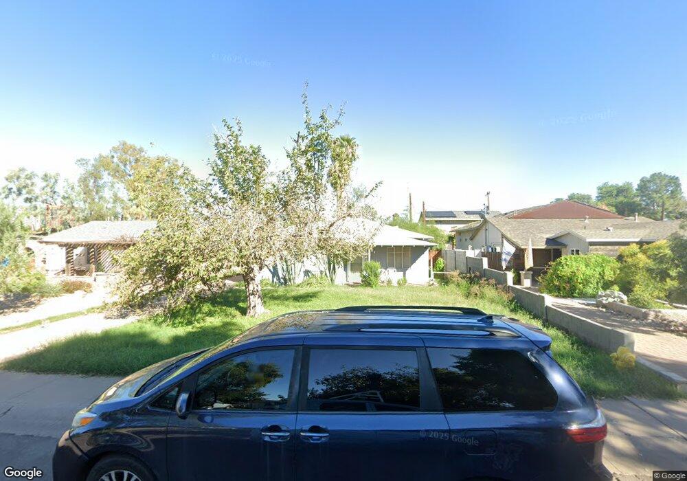
1209 S Wilson St Tempe, AZ 85281
Mitchell Park East NeighborhoodEstimated Value: $375,694 - $515,000
Studio
1
Bath
943
Sq Ft
$481/Sq Ft
Est. Value
About This Home
This home is located at 1209 S Wilson St, Tempe, AZ 85281 and is currently estimated at $453,924, approximately $481 per square foot. 1209 S Wilson St is a home located in Maricopa County with nearby schools including Geneva Epps Mosley Middle School, Tempe High School, and New School for the Arts & Academics.
Ownership History
Date
Name
Owned For
Owner Type
Purchase Details
Closed on
Nov 10, 2010
Sold by
Goyer William J
Bought by
Stacey Lynn Enterprises Llc
Current Estimated Value
Purchase Details
Closed on
Aug 15, 2006
Sold by
Flotto B Ernest and Wallin Scott Frederick
Bought by
Goyer William J
Home Financials for this Owner
Home Financials are based on the most recent Mortgage that was taken out on this home.
Original Mortgage
$258,750
Interest Rate
6.5%
Mortgage Type
Purchase Money Mortgage
Create a Home Valuation Report for This Property
The Home Valuation Report is an in-depth analysis detailing your home's value as well as a comparison with similar homes in the area
Home Values in the Area
Average Home Value in this Area
Purchase History
We collect this data history from publicly available records. To have your information removed, we recommend requesting removal directly through your county’s website.
| Date | Buyer | Sale Price | Title Company |
|---|---|---|---|
| Stacey Lynn Enterprises Llc | $132,800 | Great American Title Agency | |
| Goyer William J | $325,000 | Grand Canyon Title Agency In |
Source: Public Records
Mortgage History
We collect this data history from publicly available records. To have your information removed, we recommend requesting removal directly through your county’s website.
| Date | Status | Borrower | Loan Amount |
|---|---|---|---|
| Previous Owner | Goyer William J | $258,750 |
Source: Public Records
Tax History
| Year | Tax Paid | Tax Assessment Tax Assessment Total Assessment is a certain percentage of the fair market value that is determined by local assessors to be the total taxable value of land and additions on the property. | Land | Improvement |
|---|---|---|---|---|
| 2025 | $2,002 | $16,707 | -- | -- |
| 2024 | $1,849 | $15,911 | -- | -- |
| 2023 | $1,849 | $36,550 | $7,310 | $29,240 |
| 2022 | $1,774 | $30,420 | $6,080 | $24,340 |
| 2021 | $1,786 | $28,080 | $5,610 | $22,470 |
| 2020 | $1,732 | $24,630 | $4,920 | $19,710 |
| 2019 | $1,699 | $19,650 | $3,930 | $15,720 |
| 2018 | $1,657 | $18,620 | $3,720 | $14,900 |
| 2017 | $1,607 | $15,710 | $3,140 | $12,570 |
| 2016 | $1,596 | $15,700 | $3,140 | $12,560 |
| 2015 | $1,533 | $13,660 | $2,730 | $10,930 |
Source: Public Records
Map
Nearby Homes
- 1218 S Farmer Ave
- 1234 S Farmer Ave
- 1219 S Farmer Ave
- 610 W 12th St
- 410 W Parkway Blvd
- 1215 S Judd St
- 63 W 13th St Unit 63 & 69
- 617 W 13th St
- 1117 S Ash Ave
- 1190 S Maple Ave Unit 1
- 720 W 12th St
- 800 W 12th St
- 607 W 15th St
- 117 W 10th St
- 948 S Ash Ave
- 115 W 10th St
- 942 S Ash Ave Unit 103
- 512 W 17th St
- 915 S Wilson St
- 914 S Farmer Ave
- 1213 S Wilson St
- 1205 S Wilson St
- 1217 S Wilson St
- 435 W 12th St
- 1201 S Wilson St
- 1221 S Wilson St
- 1214 S Farmer Ave
- 1214 S Farmer Ave Unit 101.2A
- 431 W 12th St
- 1225 S Wilson St
- 1208 S Farmer Ave
- 505 W 12th St
- 515 W 12th St
- 1218 S Farmer Ave Unit 102
- 1218 S Farmer Ave Unit 104
- 424 W 12th St
- 1210 S Wilson St
- 1229 S Wilson St
- 1214 S Wilson St
- 420 W 12th St
Your Personal Tour Guide
Ask me questions while you tour the home.