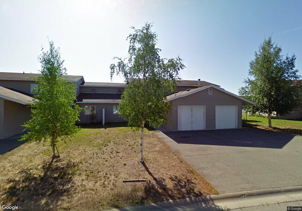
1209 Sutton Loop Unit Hampstead Avenue & S Fairbanks, AK 99701
Aurora-Lemeta NeighborhoodEstimated Value: $255,145 - $286,000
4
Beds
3
Baths
1,820
Sq Ft
$149/Sq Ft
Est. Value
About This Home
This home is located at 1209 Sutton Loop Unit Hampstead Avenue & S, Fairbanks, AK 99701 and is currently estimated at $270,573, approximately $148 per square foot. 1209 Sutton Loop Unit Hampstead Avenue & S is a home located in Fairbanks North Star Borough with nearby schools including Anne Wien Elementary School, Randy Smith Middle School, and West Valley High School.
Ownership History
Date
Name
Owned For
Owner Type
Purchase Details
Closed on
Feb 6, 2017
Sold by
Herndon Micahel R
Bought by
Bank Of America Na
Current Estimated Value
Purchase Details
Closed on
May 7, 2010
Sold by
Walden Estates Llc
Bought by
Herndon Michael R
Home Financials for this Owner
Home Financials are based on the most recent Mortgage that was taken out on this home.
Original Mortgage
$182,541
Interest Rate
4.94%
Create a Home Valuation Report for This Property
The Home Valuation Report is an in-depth analysis detailing your home's value as well as a comparison with similar homes in the area
Home Values in the Area
Average Home Value in this Area
Purchase History
| Date | Buyer | Sale Price | Title Company |
|---|---|---|---|
| Bank Of America Na | $122,500 | None Available | |
| Herndon Michael R | -- | None Available |
Source: Public Records
Mortgage History
| Date | Status | Borrower | Loan Amount |
|---|---|---|---|
| Previous Owner | Herndon Michael R | $182,541 |
Source: Public Records
Tax History Compared to Growth
Tax History
| Year | Tax Paid | Tax Assessment Tax Assessment Total Assessment is a certain percentage of the fair market value that is determined by local assessors to be the total taxable value of land and additions on the property. | Land | Improvement |
|---|---|---|---|---|
| 2025 | $3,517 | $213,750 | $5,000 | $208,750 |
| 2024 | $3,344 | $202,500 | $5,000 | $197,500 |
| 2023 | $3,163 | $190,325 | $5,000 | $185,325 |
| 2022 | $3,434 | $190,325 | $5,000 | $185,325 |
| 2021 | $3,452 | $176,500 | $5,000 | $171,500 |
| 2020 | $3,455 | $176,500 | $5,000 | $171,500 |
| 2019 | $3,488 | $176,500 | $5,000 | $171,500 |
| 2018 | $3,500 | $176,500 | $5,000 | $171,500 |
| 2017 | $3,139 | $176,500 | $5,000 | $171,500 |
| 2016 | $3,013 | $176,500 | $5,000 | $171,500 |
| 2015 | $2,819 | $176,500 | $5,000 | $171,500 |
| 2014 | $2,819 | $176,500 | $5,000 | $171,500 |
Source: Public Records
Map
Nearby Homes
- 11 Bonnie Ave
- 204 Antoinette Ave
- 809 Andrew St
- 812 Andrew St Unit 810 Andrew Street
- 612 College Rd
- 1606 Marika Rd Unit 12
- 1323 1st Ave
- 1501 Aurora Dr
- NHN College Rd
- L1-5 College Rd
- 1814 Carr Ave
- 237 Ellingson St
- 405 / 407 Lathrop St
- 405 Lathrop St
- 604 Lathrop St
- 120 Ina St
- 936 9th Ave
- 2009 Southern Ave
- 805 7th Ave Unit 2
- 943 Gilmore St
- 1209 Sutton Loop
- 1209 Sutton Loop Unit 88
- 1211 Sutton Loop
- 1211 Sutton Loop Unit Hampstead Avenue & S
- 1207 Sutton Loop
- 1207 Sutton Loop Unit 89
- 1207 Sutton Loop Unit Hampstead Avenue & S
- 1213 Sutton Loop
- 1203 Sutton Loop
- 1203 Sutton Loop Unit Hampstead Avenue & S
- 1215 Sutton Loop
- 1206 Bainbridge Blvd
- 1217 Sutton Loop
- 1217 Sutton Loop Unit Hampstead Avenue & S
- 1208 Bainbridge Blvd
- 1208 Bainbridge Blvd Unit Hampstead Avenue & S
- 1201 Sutton Loop
- 1201 Sutton Loop Unit Hampstead Avenue & S
- 1201 Sutton Loop Unit 1201 SUTTON LOOP
- 1210 Bainbridge Blvd