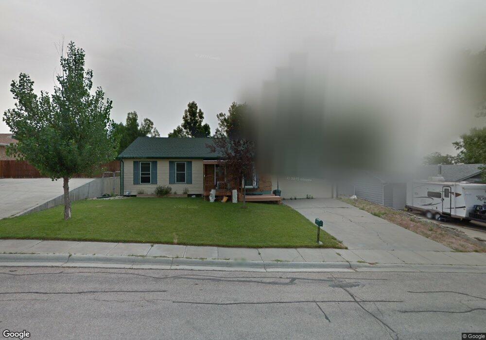
1209 Turkey Track Ln Gillette, WY 82716
Estimated Value: $266,000 - $357,000
3
Beds
3
Baths
2,204
Sq Ft
$139/Sq Ft
Est. Value
About This Home
This home is located at 1209 Turkey Track Ln, Gillette, WY 82716 and is currently estimated at $305,583, approximately $138 per square foot. 1209 Turkey Track Ln is a home located in Campbell County with nearby schools including Westwood High School, Stocktrail Elementary School, and Prairie Wind Elementary School.
Ownership History
Date
Name
Owned For
Owner Type
Purchase Details
Closed on
Nov 3, 2022
Sold by
Nabb Richard
Bought by
Iverson Travis
Current Estimated Value
Home Financials for this Owner
Home Financials are based on the most recent Mortgage that was taken out on this home.
Original Mortgage
$220,668
Outstanding Balance
$213,788
Interest Rate
6.92%
Mortgage Type
VA
Estimated Equity
$91,795
Purchase Details
Closed on
Oct 31, 2008
Sold by
Union Chapel Development Llc
Bought by
Norris Barrett K
Create a Home Valuation Report for This Property
The Home Valuation Report is an in-depth analysis detailing your home's value as well as a comparison with similar homes in the area
Home Values in the Area
Average Home Value in this Area
Purchase History
| Date | Buyer | Sale Price | Title Company |
|---|---|---|---|
| Iverson Travis | -- | First American Title | |
| Norris Barrett K | -- | None Available |
Source: Public Records
Mortgage History
| Date | Status | Borrower | Loan Amount |
|---|---|---|---|
| Open | Iverson Travis | $220,668 |
Source: Public Records
Tax History Compared to Growth
Tax History
| Year | Tax Paid | Tax Assessment Tax Assessment Total Assessment is a certain percentage of the fair market value that is determined by local assessors to be the total taxable value of land and additions on the property. | Land | Improvement |
|---|---|---|---|---|
| 2025 | $1,568 | $17,390 | $4,005 | $13,385 |
| 2024 | $1,568 | $22,295 | $5,135 | $17,160 |
| 2023 | $1,522 | $21,635 | $5,135 | $16,500 |
| 2022 | $1,394 | $19,756 | $4,090 | $15,666 |
| 2021 | $1,246 | $18,264 | $4,090 | $14,174 |
| 2020 | $1,202 | $17,655 | $4,090 | $13,565 |
| 2019 | $1,217 | $17,925 | $4,090 | $13,835 |
| 2018 | $1,193 | $17,653 | $4,090 | $13,563 |
| 2017 | $1,164 | $17,248 | $3,155 | $14,093 |
| 2016 | $1,272 | $18,834 | $3,155 | $15,679 |
| 2015 | -- | $18,677 | $3,155 | $15,522 |
| 2014 | -- | $18,329 | $3,155 | $15,174 |
Source: Public Records
Map
Nearby Homes
- 100 W Hogeye Dr
- 204 W Juniper Ln
- 911 S Warren Ave
- 1801 S Gillette Ave
- 808 S Gillette Ave
- 706 S Gillette Ave
- 404 Laurel Ct
- 300 E Tonk St
- 480 Boxelder Rd
- 300 E Laurel St
- 211 E Timothy St
- 700 S Brooks Ave
- 2329/2331 Mahogany Cir
- 308 S Warren Ave
- 409 S Emerson Ave
- 309 Rockpile Blvd
- 819 E 12th St
- 609 S Miller Ave
- 304 S Emerson Ave
- 816 E 9th St
- 1209 Turkey Track Ln -
- 1211 Turkey Track Ln
- 1205 Turkey Track Ln
- 1213 Turkey Track Ln
- 1208 Jack Plane Ln
- 1206 Jack Plane Ln
- 1210 Turkey Track Ln
- 1208 Turkey Track Ln
- 1210 Jack Plane Ln
- 1204 Jack Plane Ln
- 1206 Turkey Track Ln
- 1212 Turkey Track Ln
- 1215 Turkey Track Ln
- 1212 Jack Plane Ln
- 1201 Turkey Track Ln
- 1202 Jack Plane Ln
- 102 W Flying Circle Dr
- 200 W Flying Circle Dr
- 1209 Wagonhammer Ln
- 201 W Hogeye Dr