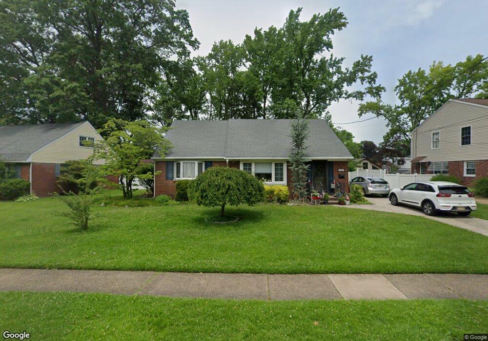
1209 Wayne Rd Haddonfield, NJ 08033
Estimated Value: $345,451 - $497,000
Studio
--
Bath
1,626
Sq Ft
$268/Sq Ft
Est. Value
About This Home
This home is located at 1209 Wayne Rd, Haddonfield, NJ 08033 and is currently estimated at $436,363, approximately $268 per square foot. 1209 Wayne Rd is a home located in Camden County with nearby schools including Avon Elementary School and Woodland Elementary School.
Ownership History
Date
Name
Owned For
Owner Type
Purchase Details
Closed on
Mar 8, 2023
Sold by
Bowen Sandra E
Bought by
Bowen William C and Bowen Sandra E
Current Estimated Value
Purchase Details
Closed on
Feb 23, 2011
Sold by
Bowen Sandra E
Bought by
Bowen Sandra E
Purchase Details
Closed on
Nov 29, 1993
Sold by
Nelson Joseph
Bought by
Elliott Warren and Elliott Sophie
Home Financials for this Owner
Home Financials are based on the most recent Mortgage that was taken out on this home.
Original Mortgage
$40,000
Interest Rate
6.69%
Create a Home Valuation Report for This Property
The Home Valuation Report is an in-depth analysis detailing your home's value as well as a comparison with similar homes in the area
Home Values in the Area
Average Home Value in this Area
Purchase History
| Date | Buyer | Sale Price | Title Company |
|---|---|---|---|
| Bowen William C | -- | None Listed On Document | |
| Bowen William C | -- | None Listed On Document | |
| Bowen Sandra E | $200,000 | -- | |
| Elliott Warren | $115,000 | -- |
Source: Public Records
Mortgage History
| Date | Status | Borrower | Loan Amount |
|---|---|---|---|
| Previous Owner | Elliott Warren | $40,000 |
Source: Public Records
Tax History
| Year | Tax Paid | Tax Assessment Tax Assessment Total Assessment is a certain percentage of the fair market value that is determined by local assessors to be the total taxable value of land and additions on the property. | Land | Improvement |
|---|---|---|---|---|
| 2025 | $9,509 | $198,600 | $66,000 | $132,600 |
| 2024 | $9,181 | $198,600 | $66,000 | $132,600 |
Source: Public Records
Map
Nearby Homes
- 1001 Wayne Rd
- 396 Tavistock Blvd
- 342 Tavistock Blvd
- 300 Copley Rd
- 425 Peltoma Rd
- 413 Company St
- 320 Company St
- 0 Bell Ave
- 95 Lane of Acres
- 366 Independence Blvd
- 26 E Phoenix Ave
- 139 Treaty Elm Ln
- 104 Treaty Elm Ln
- 425 White Horse Pike
- 119 Albany Ave
- 125 Albany Ave
- 202 Reading Ave
- 302 3rd Ave
- 26 Center Oak Ave
- 370 Station Ave
Your Personal Tour Guide
Ask me questions while you tour the home.