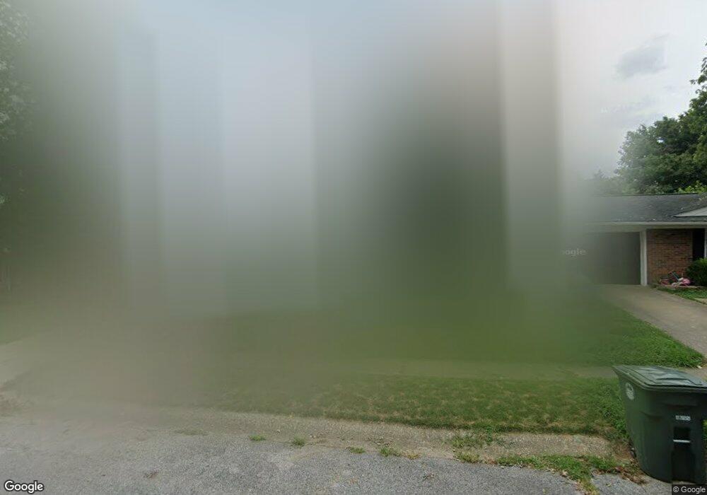
1209 Wayside Dr W Owensboro, KY 42301
Dugan Best NeighborhoodEstimated Value: $142,000 - $170,455
3
Beds
1
Bath
1,116
Sq Ft
$142/Sq Ft
Est. Value
About This Home
This home is located at 1209 Wayside Dr W, Owensboro, KY 42301 and is currently estimated at $158,864, approximately $142 per square foot. 1209 Wayside Dr W is a home located in Daviess County with nearby schools including Sorgho Elementary School, F.T. Burns Middle School, and Apollo High School.
Ownership History
Date
Name
Owned For
Owner Type
Purchase Details
Closed on
Jul 14, 2022
Sold by
Black Patricia A
Bought by
Young Austin B
Current Estimated Value
Home Financials for this Owner
Home Financials are based on the most recent Mortgage that was taken out on this home.
Original Mortgage
$121,250
Outstanding Balance
$115,469
Interest Rate
5.37%
Mortgage Type
Construction
Estimated Equity
$43,395
Purchase Details
Closed on
Apr 24, 2020
Bought by
Black Patricia A and Goetz Donna M
Create a Home Valuation Report for This Property
The Home Valuation Report is an in-depth analysis detailing your home's value as well as a comparison with similar homes in the area
Home Values in the Area
Average Home Value in this Area
Purchase History
| Date | Buyer | Sale Price | Title Company |
|---|---|---|---|
| Young Austin B | $125,000 | Attorney Only | |
| Black Patricia A | $113,900 | -- |
Source: Public Records
Mortgage History
| Date | Status | Borrower | Loan Amount |
|---|---|---|---|
| Open | Young Austin B | $121,250 |
Source: Public Records
Tax History Compared to Growth
Tax History
| Year | Tax Paid | Tax Assessment Tax Assessment Total Assessment is a certain percentage of the fair market value that is determined by local assessors to be the total taxable value of land and additions on the property. | Land | Improvement |
|---|---|---|---|---|
| 2025 | $326 | $125,000 | $0 | $0 |
| 2024 | $326 | $125,000 | $0 | $0 |
| 2023 | $1,301 | $125,000 | $0 | $0 |
| 2022 | $1,513 | $113,900 | $0 | $0 |
| 2021 | $1,524 | $113,900 | $0 | $0 |
| 2020 | $961 | $71,400 | $0 | $0 |
| 2019 | $19,750 | $71,400 | $0 | $0 |
| 2018 | $1,328 | $60,200 | $0 | $0 |
| 2017 | $1,323 | $60,200 | $0 | $0 |
| 2016 | $1,282 | $60,200 | $0 | $0 |
| 2015 | $156 | $60,200 | $0 | $0 |
| 2014 | $156 | $60,200 | $0 | $0 |
Source: Public Records
Map
Nearby Homes
- 1032 Piedmont Dr
- 1002 Piedmont Dr
- 2500 Old Henderson Rd
- 730 Carter Rd
- 2323 N Stratford Dr
- 2258 N York St
- 672 Greenbriar St
- 2252 S York St
- 2304 W 7th St
- 509 Omega St
- 416 Jed Place
- 2215 W 8th St
- 2124 Griffith Ave
- 1914 Tomy Lee Ct
- 2020 York Dr
- 2216 Bittel Rd
- 2216A Bittel Rd
- 3240 Parish Ave W
- 2057 Bittel Rd
- 612 Poindexter St
- 1215 Wayside Dr W
- 1203 Wayside Dr W
- 1221 Wayside Dr W
- 1169 Wayside Dr W
- 1206 Holly Ave
- 1212 Holly Ave
- 1200 Holly Ave
- 1218 Holly Ave
- 1227 Wayside Dr W
- 1212 Wayside Dr W
- 1206 Wayside Dr W
- 1161 Wayside Dr W
- 1218 Wayside Dr W
- 1224 Holly Ave
- 1168 Holly Ave
- 1200 Wayside Dr W
- 1224 Wayside Dr W
- 1166 Wayside Dr W
- 1233 Wayside Dr W
- 1230 Holly Ave