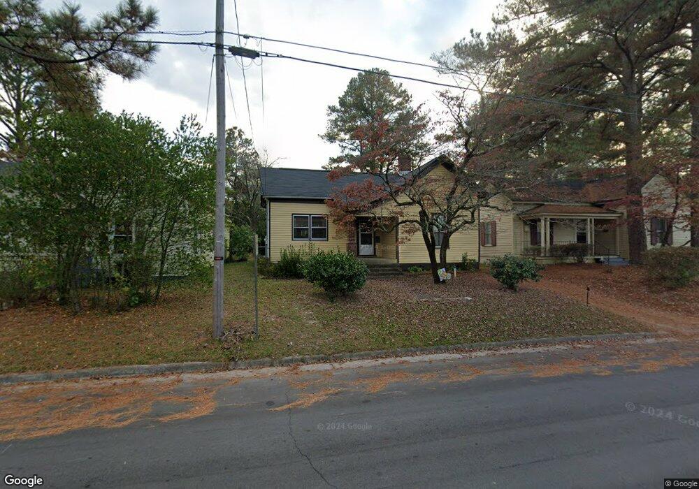
1209 Western Ave Rocky Mount, NC 27804
Estimated Value: $98,299 - $154,000
3
Beds
1
Bath
1,222
Sq Ft
$106/Sq Ft
Est. Value
About This Home
This home is located at 1209 Western Ave, Rocky Mount, NC 27804 and is currently estimated at $130,075, approximately $106 per square foot. 1209 Western Ave is a home located in Nash County with nearby schools including Williford Elementary School, Englewood Elementary School, and Rocky Mount Middle School.
Ownership History
Date
Name
Owned For
Owner Type
Purchase Details
Closed on
May 24, 2025
Sold by
Parrish Stephanie G and Pinkham Rebecca Gail
Bought by
Pinkham Rebecca Gail
Current Estimated Value
Home Financials for this Owner
Home Financials are based on the most recent Mortgage that was taken out on this home.
Original Mortgage
$76,312
Outstanding Balance
$76,051
Interest Rate
6.83%
Mortgage Type
FHA
Estimated Equity
$54,024
Purchase Details
Closed on
Jan 1, 2000
Bought by
Parrish Dorothy T
Create a Home Valuation Report for This Property
The Home Valuation Report is an in-depth analysis detailing your home's value as well as a comparison with similar homes in the area
Home Values in the Area
Average Home Value in this Area
Purchase History
| Date | Buyer | Sale Price | Title Company |
|---|---|---|---|
| Pinkham Rebecca Gail | -- | Vantage Point Title | |
| Pinkham Rebecca Gail | -- | Vantage Point Title | |
| Parrish Dorothy T | -- | -- |
Source: Public Records
Mortgage History
| Date | Status | Borrower | Loan Amount |
|---|---|---|---|
| Open | Pinkham Rebecca Gail | $76,312 | |
| Closed | Pinkham Rebecca Gail | $76,312 |
Source: Public Records
Tax History Compared to Growth
Tax History
| Year | Tax Paid | Tax Assessment Tax Assessment Total Assessment is a certain percentage of the fair market value that is determined by local assessors to be the total taxable value of land and additions on the property. | Land | Improvement |
|---|---|---|---|---|
| 2025 | $255 | $40,440 | $13,210 | $27,230 |
| 2024 | $97 | $35,830 | $9,380 | $26,450 |
| 2023 | $73 | $35,830 | $0 | $0 |
| 2022 | $74 | $35,830 | $9,380 | $26,450 |
| 2021 | $73 | $35,830 | $9,380 | $26,450 |
| 2020 | $73 | $35,830 | $9,380 | $26,450 |
| 2019 | $73 | $35,830 | $9,380 | $26,450 |
| 2018 | $73 | $35,830 | $0 | $0 |
| 2017 | $73 | $10,830 | $0 | $0 |
| 2015 | $168 | $25,071 | $0 | $0 |
| 2014 | $145 | $25,071 | $0 | $0 |
Source: Public Records
Map
Nearby Homes
- 205 S Mayo St
- 1148 Sunset Ave
- 1100 Lafayette Ave
- 1005 Sunset Ave
- 508 Glenn Ave
- 835 Sunset Ave
- 1209 Alta Vista Ln
- 521 S Taylor St
- 827 Sunset Ave
- 1524 W Haven Blvd
- 508 S Taylor St
- 708 Cedarbrook Dr
- 617 S Taylor St
- 805 Sunset Ave
- 700 York St
- 216 S Tillery St
- 218 N Tillery St
- 516 S Pine St
- 305 S Howell St
- 729 York St
- 1213 Western Ave
- 1205 Western Ave
- 1217 Western Ave
- 1221 Western Ave
- 201 S Mayo St
- 209 S Mayo St
- 1132 Western Ave
- 1117 Western Ave
- 1113 Western Ave
- 1124 Western Ave
- 1205 Sunset Ave
- 1201 Sunset Ave
- 1304 Western Ave
- 1145 Sunset Ave
- 1109 Western Ave
- 1120 Western Ave
- 208 S Harris St
- 1312 Western Ave
- 1116 Western Ave