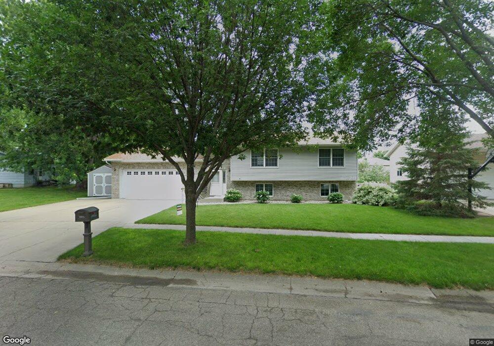
1209 Windsor Dr S Brookings, SD 57006
Estimated Value: $307,208 - $342,000
4
Beds
2
Baths
2,066
Sq Ft
$156/Sq Ft
Est. Value
About This Home
This home is located at 1209 Windsor Dr S, Brookings, SD 57006 and is currently estimated at $322,052, approximately $155 per square foot. 1209 Windsor Dr S is a home located in Brookings County with nearby schools including Brookings High School and St Thomas More Catholic School.
Ownership History
Date
Name
Owned For
Owner Type
Purchase Details
Closed on
May 7, 2012
Sold by
Sorenson Aaron J
Bought by
Sampson James D and Sampson Susan E
Current Estimated Value
Home Financials for this Owner
Home Financials are based on the most recent Mortgage that was taken out on this home.
Original Mortgage
$120,000
Outstanding Balance
$83,103
Interest Rate
3.89%
Estimated Equity
$238,949
Purchase Details
Closed on
Oct 14, 2007
Sold by
Nichols Christopher H and Nichols Melissa K
Bought by
Sorenson Aaron J
Create a Home Valuation Report for This Property
The Home Valuation Report is an in-depth analysis detailing your home's value as well as a comparison with similar homes in the area
Home Values in the Area
Average Home Value in this Area
Purchase History
| Date | Buyer | Sale Price | Title Company |
|---|---|---|---|
| Sampson James D | -- | -- | |
| Sorenson Aaron J | $178,500 | -- |
Source: Public Records
Mortgage History
| Date | Status | Borrower | Loan Amount |
|---|---|---|---|
| Open | Sampson James D | $120,000 |
Source: Public Records
Tax History
| Year | Tax Paid | Tax Assessment Tax Assessment Total Assessment is a certain percentage of the fair market value that is determined by local assessors to be the total taxable value of land and additions on the property. | Land | Improvement |
|---|---|---|---|---|
| 2025 | $3,861 | $269,700 | $31,400 | $238,300 |
| 2024 | $3,694 | $265,900 | $28,000 | $237,900 |
| 2023 | $3,428 | $241,200 | $28,000 | $213,200 |
| 2022 | $3,080 | $218,300 | $27,800 | $190,500 |
| 2021 | $3,033 | $207,600 | $27,800 | $179,800 |
| 2020 | $2,760 | $195,900 | $27,800 | $168,100 |
| 2019 | $2,713 | $183,300 | $27,800 | $155,500 |
| 2018 | $2,607 | $183,300 | $27,800 | $155,500 |
| 2017 | $2,661 | $171,200 | $27,800 | $143,400 |
| 2016 | $2,619 | $171,200 | $27,800 | $143,400 |
| 2010 | -- | $171,300 | $0 | $0 |
Source: Public Records
Map
Nearby Homes
- 1023 16th St S
- 1008 16th St S
- 1507 Sequoia Ct
- 1407 Sheridan Cir
- 808 Sunflower Rd
- 1401 Windermere Way
- 1602 Windermere Way
- 723 Leprechaun Cir
- 1311 Sawgrass Dr
- 521 12th St S Unit 75
- 701 Park Avenue Cir
- 1529 Steamboat Trail
- 709 Park Avenue Cir
- 2044 Arbor Ridge
- 821 Goldenrod Trail
- 725 Sunflower Rd
- L3, B7 Prairie Hills Addition
- 25 Southern Estates Addition
- 24 Southern Estates Addition
- 720 Sunflower Rd
- 1215 Windsor Dr S
- 1128 12th St S
- 1302 Yorktown Cir
- 1304 Yorktown Cir
- 1223 Windsor Dr S
- 1112 12th St S
- 1200 12th St S
- 1216 Windsor Dr S
- 1306 Yorktown Cir
- 1227 Windsor Dr S
- 1127 12th St S
- 1121 12th St S
- 1300 Yorktown Cir
- 1133 12th St S
- 1039 Castlewood Dr
- 1206 12th St S
- 1115 12th St S
- 1308 Yorktown Cir
- 1235 Windsor Dr S
- 1100 12th St S
Your Personal Tour Guide
Ask me questions while you tour the home.