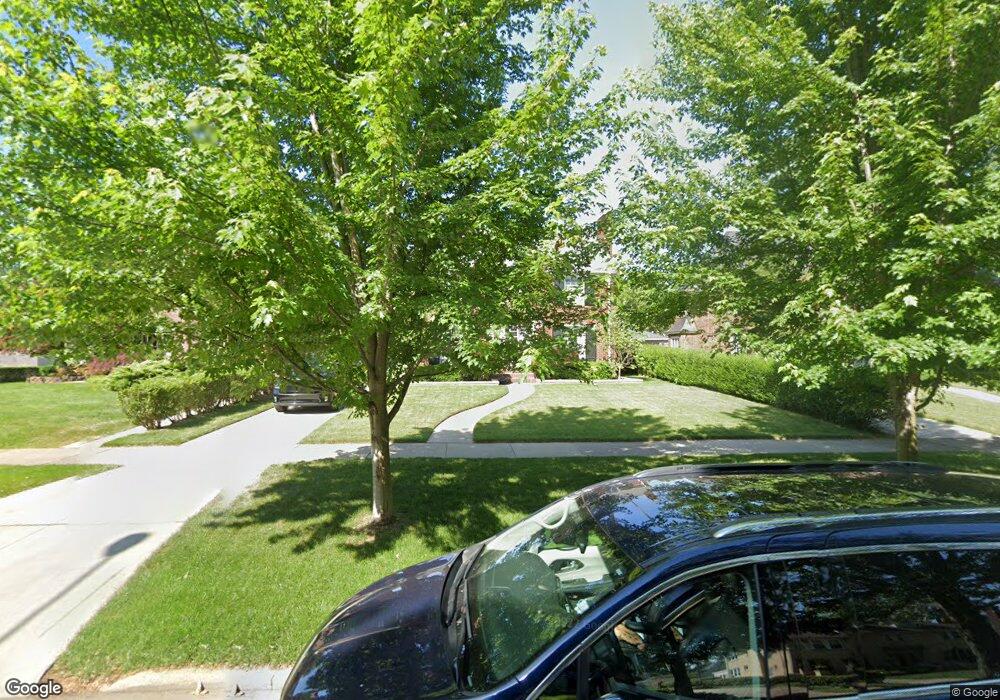
1209 Yorkshire Rd Grosse Pointe Park, MI 48230
Estimated Value: $672,000 - $792,000
5
Beds
4
Baths
3,600
Sq Ft
$201/Sq Ft
Est. Value
About This Home
This home is located at 1209 Yorkshire Rd, Grosse Pointe Park, MI 48230 and is currently estimated at $722,422, approximately $200 per square foot. 1209 Yorkshire Rd is a home located in Wayne County with nearby schools including Lewis Maire Elementary School, Pierce Middle School, and Grosse Pointe South High School.
Ownership History
Date
Name
Owned For
Owner Type
Purchase Details
Closed on
Nov 29, 2010
Sold by
Miller Gary A and Miller Leslie M
Bought by
Hayes Peter A
Current Estimated Value
Create a Home Valuation Report for This Property
The Home Valuation Report is an in-depth analysis detailing your home's value as well as a comparison with similar homes in the area
Home Values in the Area
Average Home Value in this Area
Purchase History
| Date | Buyer | Sale Price | Title Company |
|---|---|---|---|
| Hayes Peter A | $306,500 | None Available |
Source: Public Records
Tax History Compared to Growth
Tax History
| Year | Tax Paid | Tax Assessment Tax Assessment Total Assessment is a certain percentage of the fair market value that is determined by local assessors to be the total taxable value of land and additions on the property. | Land | Improvement |
|---|---|---|---|---|
| 2025 | $4,943 | $343,900 | $0 | $0 |
| 2024 | $4,943 | $317,100 | $0 | $0 |
| 2023 | $4,720 | $283,200 | $0 | $0 |
| 2022 | $4,484 | $245,300 | $0 | $0 |
| 2021 | $8,842 | $236,200 | $0 | $0 |
| 2019 | $9,099 | $218,200 | $0 | $0 |
| 2018 | $4,275 | $181,200 | $0 | $0 |
| 2017 | $9,543 | $128,800 | $0 | $0 |
| 2016 | $8,920 | $128,800 | $0 | $0 |
| 2015 | $16,000 | $166,600 | $0 | $0 |
| 2013 | $15,500 | $158,000 | $0 | $0 |
| 2012 | $5,047 | $179,600 | $47,600 | $132,000 |
Source: Public Records
Map
Nearby Homes
- 1200 Audubon Rd
- 1131 Audubon Rd
- 1387 Kensington Ave
- 1036 Yorkshire Rd
- 616 Cadieux Rd
- 1386 Grayton St
- 1031 Kensington Ave
- 1386 Three Mile Dr
- 775 Notre Dame St
- 1148 Devonshire Rd
- 25 Village Ln
- 43 Cranford Ln
- 45 Cranford Ln
- 16935 Maumee Ave
- 3476 Audubon Rd
- 3500 Yorkshire Rd
- 1425 Bedford Rd
- 3520 Audubon Rd
- 1350 Buckingham Rd
- 3430 Bedford St
- 1203 Yorkshire Rd
- 1210 Kensington Ave
- 1204 Kensington Ave
- 1216 Kensington Ave
- 1215 Yorkshire Rd
- 1222 Kensington Ave
- 1221 Yorkshire Rd
- 1228 Kensington Ave
- 1227 Yorkshire Rd
- 1179 Yorkshire Rd
- 1174 Kensington Ave
- 1234 Kensington Ave
- 1235 Yorkshire Rd
- 1173 Yorkshire Rd
- 1168 Kensington Ave
- 1211 Kensington Ave
- 1205 Kensington Ave
- 1238 Kensington Ave
- 1210 Yorkshire Rd
- 1204 Yorkshire Rd