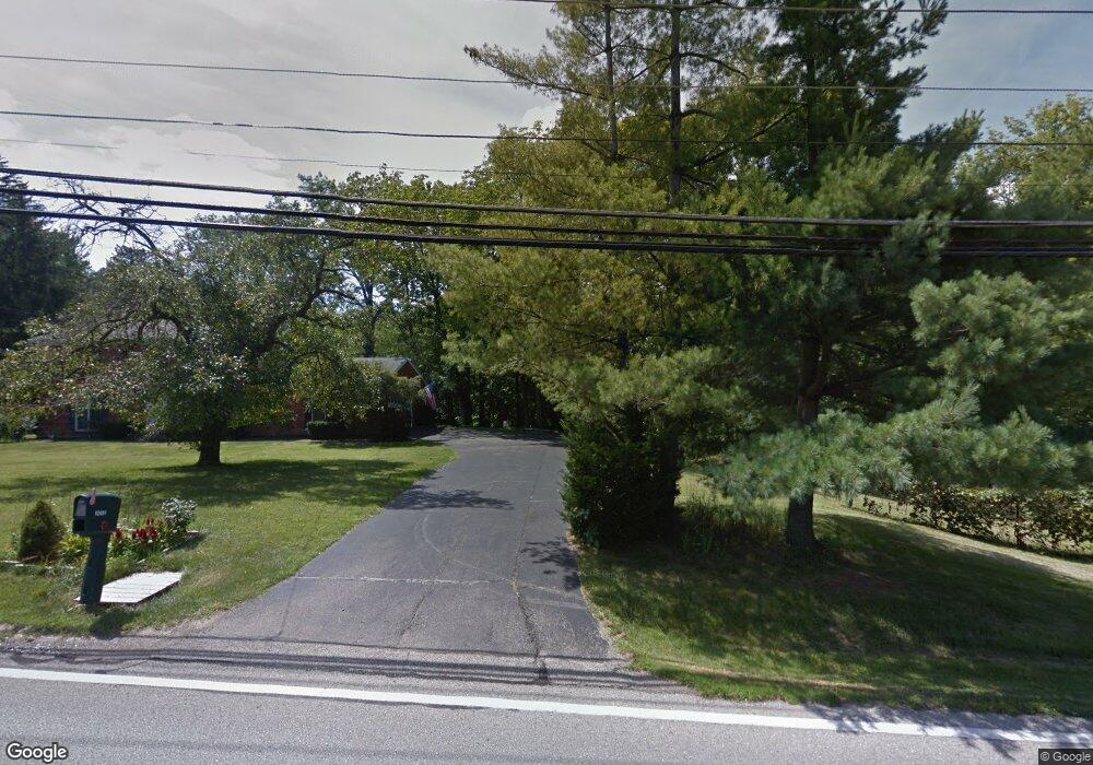
12093 Snider Rd Cincinnati, OH 45249
Highpoint NeighborhoodEstimated Value: $165,000 - $771,000
6
Beds
5
Baths
--
Sq Ft
86,249
Sq Ft Lot
About This Home
This home is located at 12093 Snider Rd, Cincinnati, OH 45249 and is currently estimated at $468,000. 12093 Snider Rd is a home located in Hamilton County with nearby schools including Stewart Elementary School, Princeton Community Middle School, and Princeton High School.
Ownership History
Date
Name
Owned For
Owner Type
Purchase Details
Closed on
Mar 16, 2016
Sold by
Bell Susan
Bought by
Bell Daughters Holding Company Llc
Current Estimated Value
Home Financials for this Owner
Home Financials are based on the most recent Mortgage that was taken out on this home.
Interest Rate
3.68%
Purchase Details
Closed on
Dec 3, 2001
Sold by
Bell Ronald L and Bell Susan
Bought by
Bell Susan
Create a Home Valuation Report for This Property
The Home Valuation Report is an in-depth analysis detailing your home's value as well as a comparison with similar homes in the area
Home Values in the Area
Average Home Value in this Area
Purchase History
| Date | Buyer | Sale Price | Title Company |
|---|---|---|---|
| Bell Daughters Holding Company Llc | $29,850 | -- | |
| Bell Susan | -- | -- |
Source: Public Records
Mortgage History
| Date | Status | Borrower | Loan Amount |
|---|---|---|---|
| Closed | Bell Daughters Holding Company Llc | -- |
Source: Public Records
Tax History
| Year | Tax Paid | Tax Assessment Tax Assessment Total Assessment is a certain percentage of the fair market value that is determined by local assessors to be the total taxable value of land and additions on the property. | Land | Improvement |
|---|---|---|---|---|
| 2025 | $717 | $13,458 | $13,458 | -- |
| 2023 | $628 | $13,458 | $13,458 | $0 |
| 2022 | $710 | $12,275 | $12,275 | $0 |
| 2021 | $706 | $12,275 | $12,275 | $0 |
| 2020 | $697 | $12,275 | $12,275 | $0 |
| 2019 | $669 | $10,766 | $10,766 | $0 |
| 2018 | $633 | $10,766 | $10,766 | $0 |
| 2017 | $606 | $10,766 | $10,766 | $0 |
| 2016 | $602 | $10,448 | $10,448 | $0 |
| 2015 | $599 | $10,448 | $10,448 | $0 |
| 2014 | $600 | $10,448 | $10,448 | $0 |
| 2013 | $578 | $10,241 | $10,241 | $0 |
Source: Public Records
Map
Nearby Homes
- 12102 Paulmeadows Dr
- 9907 Kensington Ln
- 12173 Crestfield Ct
- 11756 Thayer Ln
- 9867 Kensington Ln
- 12168 Crestfield Ct
- 11753 Thayer Ln
- 12152 7th Ave
- 9671 Fox Run Dr
- 6526 Hawk Ct
- 12152 3rd Ave
- 7812 Cincinnati Ave
- 9665 New Castle Ct
- 9720 Cedar Knoll Dr
- 11928 2nd Ave
- 5686 Farm Field Dr
- 11762 Gable Glen Ln Unit 603
- 5850 Homecrest Ln
- 11736 Gable Glen Ln
- 11783 Gable Glen Ln
- 8209 Pinecove Ct
- 8201 Pinecove Ct
- 12095 Snider Rd
- 8219 Pinecove Ct
- 12047 Snider Rd
- 12051 Snider Rd
- 8202 Pinecove Ct
- 12041 Snider Rd
- 12097 Snider Rd
- 12033 Snider Rd
- 12035 Snider Rd
- 8204 Pinecove Ct
- 12111 Snider Rd
- 8241 Pinecove Ct
- 8210 Pinecove Ct
- 8263 Pinecove Ct
- 8220 Pinecove Ct
- 12015 Snider Rd
- 12021 Snider Rd
- 12038 Snider Rd
Your Personal Tour Guide
Ask me questions while you tour the home.