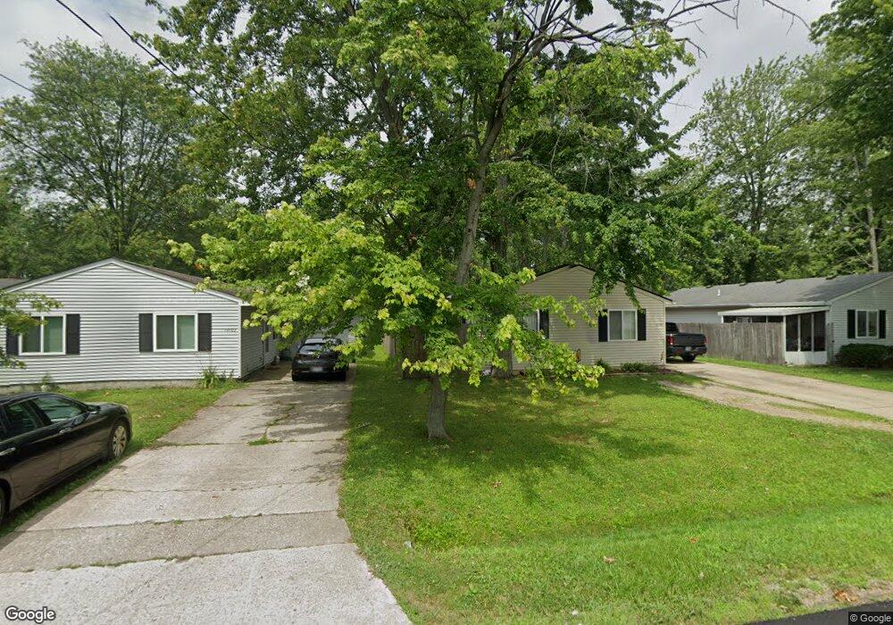
12097 7th Ave Cincinnati, OH 45249
Highpoint NeighborhoodEstimated Value: $156,000 - $204,000
3
Beds
2
Baths
1,056
Sq Ft
$171/Sq Ft
Est. Value
About This Home
This home is located at 12097 7th Ave, Cincinnati, OH 45249 and is currently estimated at $180,747, approximately $171 per square foot. 12097 7th Ave is a home located in Hamilton County with nearby schools including Stewart Elementary School, Princeton Community Middle School, and Princeton High School.
Ownership History
Date
Name
Owned For
Owner Type
Purchase Details
Closed on
Oct 1, 2014
Sold by
Mcihaud Sherri L and Michaud Phillip
Bought by
Conway David
Current Estimated Value
Home Financials for this Owner
Home Financials are based on the most recent Mortgage that was taken out on this home.
Original Mortgage
$77,569
Outstanding Balance
$58,259
Interest Rate
3.87%
Mortgage Type
FHA
Estimated Equity
$122,488
Purchase Details
Closed on
Apr 13, 2007
Sold by
Davis Dennis P and Davis Sherri
Bought by
Clark Sherri L
Home Financials for this Owner
Home Financials are based on the most recent Mortgage that was taken out on this home.
Original Mortgage
$78,400
Interest Rate
6.2%
Mortgage Type
Unknown
Purchase Details
Closed on
Jun 28, 1995
Sold by
Stafford Clyde
Bought by
Davis Dennis P
Home Financials for this Owner
Home Financials are based on the most recent Mortgage that was taken out on this home.
Original Mortgage
$47,250
Interest Rate
7.88%
Create a Home Valuation Report for This Property
The Home Valuation Report is an in-depth analysis detailing your home's value as well as a comparison with similar homes in the area
Home Values in the Area
Average Home Value in this Area
Purchase History
| Date | Buyer | Sale Price | Title Company |
|---|---|---|---|
| Conway David | $79,000 | Mattingly Ford Title Svcs Ll | |
| Clark Sherri L | $98,000 | Attorney | |
| Davis Dennis P | -- | -- |
Source: Public Records
Mortgage History
| Date | Status | Borrower | Loan Amount |
|---|---|---|---|
| Open | Conway David | $77,569 | |
| Previous Owner | Clark Sherri L | $78,400 | |
| Previous Owner | Davis Dennis P | $47,250 |
Source: Public Records
Tax History
| Year | Tax Paid | Tax Assessment Tax Assessment Total Assessment is a certain percentage of the fair market value that is determined by local assessors to be the total taxable value of land and additions on the property. | Land | Improvement |
|---|---|---|---|---|
| 2025 | $2,094 | $40,054 | $6,300 | $33,754 |
| 2023 | $1,815 | $40,054 | $6,300 | $33,754 |
| 2022 | $1,776 | $31,525 | $6,286 | $25,239 |
| 2021 | $1,728 | $31,525 | $6,286 | $25,239 |
| 2020 | $1,751 | $31,525 | $6,286 | $25,239 |
| 2019 | $1,673 | $27,651 | $5,513 | $22,138 |
| 2018 | $1,581 | $27,651 | $5,513 | $22,138 |
| 2017 | $1,489 | $27,651 | $5,513 | $22,138 |
| 2016 | $1,372 | $25,137 | $5,355 | $19,782 |
| 2015 | $1,386 | $25,137 | $5,355 | $19,782 |
| 2014 | $1,390 | $25,137 | $5,355 | $19,782 |
| 2013 | $1,339 | $24,644 | $5,250 | $19,394 |
Source: Public Records
Map
Nearby Homes
- 12152 7th Ave
- 12152 3rd Ave
- 7812 Cincinnati Ave
- 11928 2nd Ave
- 9720 Cedar Knoll Dr
- 6526 Hawk Ct
- 9548 Butler Warren Rd
- 11756 Thayer Ln
- 9917 Shorewood Ln
- 6891 Fields Ertel Rd
- 12102 Paulmeadows Dr
- 9907 Kensington Ln
- 9867 Kensington Ln
- 9671 Fox Run Dr
- 9509 Butler Warren Rd
- 8175 Sunburst Dr
- 12173 Crestfield Ct
- 12168 Crestfield Ct
- 5850 Homecrest Ln
- 7815 Bennington Dr
Your Personal Tour Guide
Ask me questions while you tour the home.