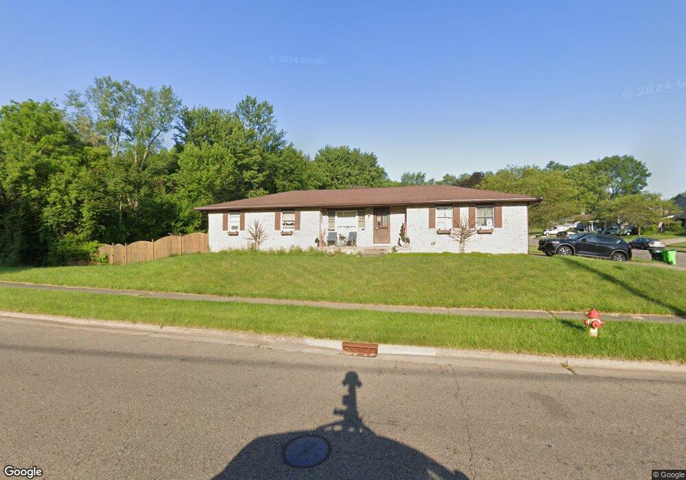
121 17th St NW Massillon, OH 44647
East Brookfield NeighborhoodEstimated Value: $189,000 - $230,000
3
Beds
1
Bath
1,242
Sq Ft
$169/Sq Ft
Est. Value
About This Home
This home is located at 121 17th St NW, Massillon, OH 44647 and is currently estimated at $209,341, approximately $168 per square foot. 121 17th St NW is a home located in Stark County with nearby schools including Massillon Intermediate School, Massillon Junior High School, and Washington High School.
Ownership History
Date
Name
Owned For
Owner Type
Purchase Details
Closed on
Feb 8, 2002
Sold by
Brannan David M and Brannan Cheryl L
Bought by
Kovac Donald L
Current Estimated Value
Home Financials for this Owner
Home Financials are based on the most recent Mortgage that was taken out on this home.
Original Mortgage
$122,773
Outstanding Balance
$51,410
Interest Rate
7.24%
Mortgage Type
FHA
Estimated Equity
$157,931
Purchase Details
Closed on
Jan 17, 1996
Sold by
Snyder Howard L
Bought by
Brannan David M and Brannan Cheryl
Home Financials for this Owner
Home Financials are based on the most recent Mortgage that was taken out on this home.
Original Mortgage
$59,500
Interest Rate
7.28%
Mortgage Type
New Conventional
Purchase Details
Closed on
Jul 13, 1988
Create a Home Valuation Report for This Property
The Home Valuation Report is an in-depth analysis detailing your home's value as well as a comparison with similar homes in the area
Home Values in the Area
Average Home Value in this Area
Purchase History
| Date | Buyer | Sale Price | Title Company |
|---|---|---|---|
| Kovac Donald L | $124,700 | -- | |
| Brannan David M | $70,000 | -- | |
| -- | $60,000 | -- |
Source: Public Records
Mortgage History
| Date | Status | Borrower | Loan Amount |
|---|---|---|---|
| Open | Kovac Donald L | $122,773 | |
| Previous Owner | Brannan David M | $59,500 |
Source: Public Records
Tax History Compared to Growth
Tax History
| Year | Tax Paid | Tax Assessment Tax Assessment Total Assessment is a certain percentage of the fair market value that is determined by local assessors to be the total taxable value of land and additions on the property. | Land | Improvement |
|---|---|---|---|---|
| 2025 | -- | $64,720 | $12,950 | $51,770 |
| 2024 | -- | $64,720 | $12,950 | $51,770 |
| 2023 | $3,046 | $52,820 | $10,220 | $42,600 |
| 2022 | $3,040 | $52,820 | $10,220 | $42,600 |
| 2021 | $3,092 | $52,820 | $10,220 | $42,600 |
| 2020 | $2,357 | $42,630 | $8,400 | $34,230 |
| 2019 | $3,002 | $42,630 | $8,400 | $34,230 |
| 2018 | $2,720 | $42,630 | $8,400 | $34,230 |
| 2017 | $2,319 | $39,980 | $7,070 | $32,910 |
| 2016 | $2,358 | $39,980 | $7,070 | $32,910 |
| 2015 | $2,329 | $39,980 | $7,070 | $32,910 |
| 2014 | $327 | $38,610 | $6,830 | $31,780 |
| 2013 | $1,168 | $38,610 | $6,830 | $31,780 |
Source: Public Records
Map
Nearby Homes
- 1725 Auburn Ave NW
- 1735 Woodruff Ave NW
- 309 15th St NW
- 104 16th St SW
- 429 18th St NW
- 1835 Main Ave W
- 1301 Lincoln Way NW
- 1605 Tremont Ave SW
- 121 13th St SW
- 315 14th St SW
- 728 Hillside Place SW
- 540 Carver St NW
- 1105 Tremont Ave SW
- 2527 Lincoln Way NW
- 425 11th St SW
- 1110 14th St SW
- 324 Snyder Place SW
- 948 Queen Anne Dr NW
- 810 Taylor St SW
- 830 Standish Cir NW
- 1719 Auburn Ave NW
- 1710 Auburn Ave NW
- 1531 Auburn Ave NW
- 1718 Auburn Ave NW
- 1735 Auburn Ave NW
- 1726 Auburn Ave NW
- 1528 Auburn Ave NW
- 1734 Auburn Ave NW
- 1741 Auburn Ave NW
- 1715 Woodruff Ave NW
- 1727 Woodruff Ave NW
- 1804 Auburn Ave NW
- 211 15th St NW
- 217 15th St NW
- 1505 Auburn Ave NW
- 1825 Auburn Ave NW
- 1805 Woodruff Ave NW
- 227 15th St NW
- 301 15th St NW
- 1817 Woodruff Ave NW