121 Ashen Ct Moultrie, GA 31768
Estimated Value: $61,396 - $275,000
3
Beds
2
Baths
1,344
Sq Ft
$120/Sq Ft
Est. Value
About This Home
This home is located at 121 Ashen Ct, Moultrie, GA 31768 and is currently estimated at $161,849, approximately $120 per square foot. 121 Ashen Ct is a home with nearby schools including Hamilton Elementary School, C.A. Gray Junior High School, and Willie J. Williams Middle School.
Ownership History
Date
Name
Owned For
Owner Type
Purchase Details
Closed on
Sep 12, 2025
Sold by
Childs Matthew Tyler
Bought by
Childs Jennifer and Childs Ronald D
Current Estimated Value
Purchase Details
Closed on
Apr 3, 2024
Sold by
Childs Ronald D
Bought by
Childs Matthew Tyler
Purchase Details
Closed on
Sep 20, 2022
Sold by
Childs Matthew Tyler
Bought by
Childs Ronald D
Purchase Details
Closed on
Dec 22, 2021
Sold by
Bynum Lisa A
Bought by
Childs Matthew Tyler
Purchase Details
Closed on
Sep 19, 2017
Sold by
Allen Harold
Bought by
Bynum Lisa A
Purchase Details
Closed on
Jun 8, 1990
Bought by
Allen Harold
Create a Home Valuation Report for This Property
The Home Valuation Report is an in-depth analysis detailing your home's value as well as a comparison with similar homes in the area
Home Values in the Area
Average Home Value in this Area
Purchase History
| Date | Buyer | Sale Price | Title Company |
|---|---|---|---|
| Childs Jennifer | $10,680 | -- | |
| Childs Matthew Tyler | -- | -- | |
| Childs Ronald D | -- | -- | |
| Childs Matthew Tyler | $15,000 | -- | |
| Bynum Lisa A | -- | -- | |
| Allen Harold | -- | -- |
Source: Public Records
Tax History Compared to Growth
Tax History
| Year | Tax Paid | Tax Assessment Tax Assessment Total Assessment is a certain percentage of the fair market value that is determined by local assessors to be the total taxable value of land and additions on the property. | Land | Improvement |
|---|---|---|---|---|
| 2024 | $97 | $4,272 | $3,360 | $912 |
| 2023 | $97 | $4,272 | $3,360 | $912 |
| 2022 | $69 | $2,900 | $2,100 | $800 |
| 2021 | $99 | $6,060 | $2,100 | $3,960 |
| 2020 | $100 | $6,060 | $2,100 | $3,960 |
| 2019 | $112 | $6,060 | $2,100 | $3,960 |
| 2018 | $155 | $6,060 | $2,100 | $3,960 |
| 2017 | $108 | $5,960 | $2,000 | $3,960 |
| 2016 | $109 | $5,960 | $2,000 | $3,960 |
| 2015 | $110 | $5,960 | $2,000 | $3,960 |
| 2014 | $108 | $5,960 | $2,000 | $3,960 |
| 2013 | -- | $5,959 | $2,000 | $3,959 |
Source: Public Records
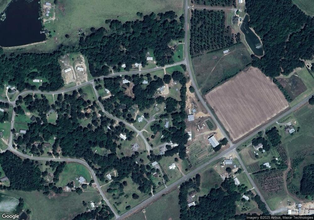
Map
Nearby Homes
- 0 Kendallwood Dr Unit 1652301
- 182 Mcginty Rd
- 219 Cox Dairy Rd
- 198 Westwoods Dr
- Lot 45 Fox Trot Dr
- 0 Fox Trot Dr
- 2393 Georgia 37
- LOT 23 Westwoods Dr
- LOT 30 Merganser Ln
- 372 Westwoods Dr Unit 21
- 216 Circle Rd
- 2010 West Blvd
- 1215 12th St SW
- 0 Gatewood Cir Unit 1652303
- 1214 Erve Williams Rd
- 904 Barbara Cir
- 905 Barbara Cir
- 1321 Hallmark Dr
- 00 Rossman Dairy Rd
- 39 Hummingbird Rd
- 131 Kendallwood Dr
- 143 Kendallwood Dr
- 109 Kendallwood Dr
- 166 Fireplace Ln
- 111 Fireplace Ln
- 160 Kendallwood Dr
- 122 Fireplace Ln
- 144 Fireplace Ln
- 2294 Ga Highway 111
- 174 Kendallwood Dr
- 423 Kendallwood Dr
- 132 Fireplace Ln
- 190 Kendallwood Dr
- 447 Kendallwood Dr
- 200 Kendallwood Dr
- 0 Kendallwood Dr Unit 1645191
- 0 Kendallwood Dr Unit 31
- 2273 Ga Highway 111
- 471 Kendallwood Dr
- KENDALLWO0D Kendallwood Church Rd