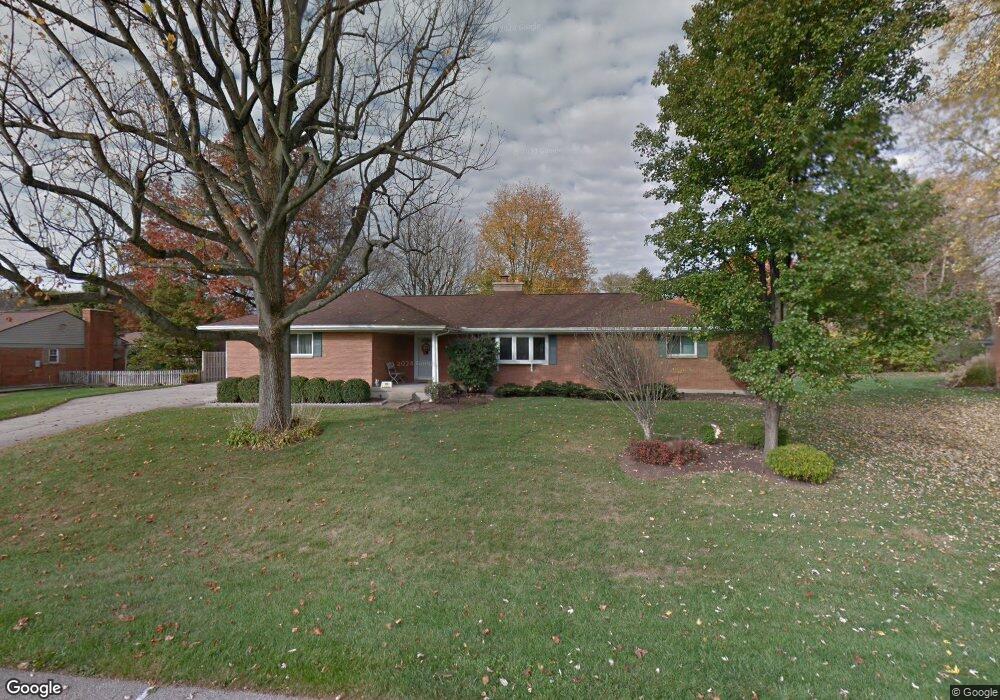
121 Ashford Dr Dayton, OH 45459
Woodbourne-Hyde Park NeighborhoodEstimated Value: $312,000 - $341,000
3
Beds
2
Baths
1,778
Sq Ft
$183/Sq Ft
Est. Value
About This Home
This home is located at 121 Ashford Dr, Dayton, OH 45459 and is currently estimated at $325,104, approximately $182 per square foot. 121 Ashford Dr is a home located in Montgomery County with nearby schools including Primary Village North, John Hole Elementary, and Hadley E Watts Middle School.
Ownership History
Date
Name
Owned For
Owner Type
Purchase Details
Closed on
Jun 15, 2001
Sold by
Ulrich Albert R and Ulrich Debra A
Bought by
Brightman David W and Brightman Rebecca J
Current Estimated Value
Home Financials for this Owner
Home Financials are based on the most recent Mortgage that was taken out on this home.
Original Mortgage
$110,900
Interest Rate
7.11%
Mortgage Type
Balloon
Create a Home Valuation Report for This Property
The Home Valuation Report is an in-depth analysis detailing your home's value as well as a comparison with similar homes in the area
Home Values in the Area
Average Home Value in this Area
Purchase History
| Date | Buyer | Sale Price | Title Company |
|---|---|---|---|
| Brightman David W | $157,900 | -- |
Source: Public Records
Mortgage History
| Date | Status | Borrower | Loan Amount |
|---|---|---|---|
| Closed | Brightman David W | $110,900 |
Source: Public Records
Tax History Compared to Growth
Tax History
| Year | Tax Paid | Tax Assessment Tax Assessment Total Assessment is a certain percentage of the fair market value that is determined by local assessors to be the total taxable value of land and additions on the property. | Land | Improvement |
|---|---|---|---|---|
| 2024 | $5,758 | $93,290 | $14,830 | $78,460 |
| 2023 | $5,758 | $93,290 | $14,830 | $78,460 |
| 2022 | $5,238 | $67,130 | $10,670 | $56,460 |
| 2021 | $5,253 | $67,130 | $10,670 | $56,460 |
| 2020 | $5,239 | $67,130 | $10,670 | $56,460 |
| 2019 | $5,216 | $59,720 | $10,670 | $49,050 |
| 2018 | $4,659 | $59,720 | $10,670 | $49,050 |
| 2017 | $4,609 | $59,720 | $10,670 | $49,050 |
| 2016 | $4,560 | $55,680 | $10,670 | $45,010 |
| 2015 | $4,486 | $55,680 | $10,670 | $45,010 |
| 2014 | $4,486 | $55,680 | $10,670 | $45,010 |
| 2012 | -- | $54,640 | $10,770 | $43,870 |
Source: Public Records
Map
Nearby Homes
- 160 Ashford Dr
- 129 Lamp Lighter Trail
- 187 Cheltenham Dr
- 152 Cheltenham Dr
- 190 Winchcombe Dr
- 341 Cardigan Rd
- 40 Nicholson Ct Unit 4
- 24 Nicholson Ct Unit 10
- 5416 Landau Dr Unit 7
- 5416 Landau Dr Unit 5
- 5380 Landau Dr Unit 40
- 5328 Landau Dr Unit 49
- 5328 Landau Dr
- 215 Colonial Ln
- 194 Brookmount Rd
- 5290 Wheaton St
- 5016 Far Hills Ave
- 101 Enid Ave
- 447 Greensboro Dr
- 321 Princewood Ave
- 111 Ashford Dr
- 131 Ashford Dr
- 140 Cardigan Rd
- 120 Cardigan Rd
- 120 Ashford Dr
- 160 Cardigan Rd
- 130 Ashford Dr
- 110 Ashford Dr
- 141 Ashford Dr
- 101 Ashford Dr
- 100 Cardigan Rd
- 140 Ashford Dr
- 100 Ashford Dr
- 139 Cardigan Rd
- 180 Cardigan Rd
- 119 Cardigan Rd
- 151 Ashford Dr
- 119 Winchcombe Dr
- 129 Winchcombe Dr
- 150 Ashford Dr