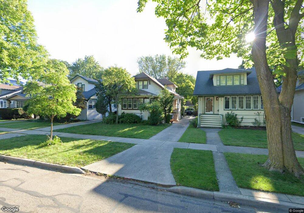
121 Ashland Ave River Forest, IL 60305
Estimated Value: $597,000 - $698,000
3
Beds
2
Baths
1,902
Sq Ft
$348/Sq Ft
Est. Value
About This Home
This home is located at 121 Ashland Ave, River Forest, IL 60305 and is currently estimated at $662,733, approximately $348 per square foot. 121 Ashland Ave is a home located in Cook County with nearby schools including Lincoln Elementary School, Roosevelt Middle School, and Oak Park and River Forest High School.
Ownership History
Date
Name
Owned For
Owner Type
Purchase Details
Closed on
Jul 23, 2002
Sold by
Auteri Vincenzo
Bought by
Midwest Bank & Trust Company and Trust #02-1-8038
Current Estimated Value
Purchase Details
Closed on
Nov 8, 1994
Sold by
Marzullo Maria Francisco and Aubari Mary F
Bought by
Aubari Vinosenso
Purchase Details
Closed on
Oct 27, 1993
Sold by
Auteri Vincenzo
Bought by
Auteri Vincenzo
Create a Home Valuation Report for This Property
The Home Valuation Report is an in-depth analysis detailing your home's value as well as a comparison with similar homes in the area
Home Values in the Area
Average Home Value in this Area
Purchase History
| Date | Buyer | Sale Price | Title Company |
|---|---|---|---|
| Midwest Bank & Trust Company | -- | -- | |
| Aubari Vinosenso | $90,000 | -- | |
| Auteri Vincenzo | -- | -- |
Source: Public Records
Tax History Compared to Growth
Tax History
| Year | Tax Paid | Tax Assessment Tax Assessment Total Assessment is a certain percentage of the fair market value that is determined by local assessors to be the total taxable value of land and additions on the property. | Land | Improvement |
|---|---|---|---|---|
| 2024 | $13,328 | $52,000 | $8,041 | $43,959 |
| 2023 | $13,315 | $52,000 | $8,041 | $43,959 |
| 2022 | $13,315 | $44,652 | $6,919 | $37,733 |
| 2021 | $12,851 | $44,652 | $6,919 | $37,733 |
| 2020 | $12,626 | $44,652 | $6,919 | $37,733 |
| 2019 | $12,482 | $43,637 | $6,358 | $37,279 |
| 2018 | $11,815 | $43,637 | $6,358 | $37,279 |
| 2017 | $11,790 | $43,637 | $6,358 | $37,279 |
| 2016 | $11,308 | $37,647 | $5,236 | $32,411 |
| 2015 | $11,069 | $37,647 | $5,236 | $32,411 |
| 2014 | $10,155 | $37,647 | $5,236 | $32,411 |
| 2013 | $9,564 | $36,524 | $5,236 | $31,288 |
Source: Public Records
Map
Nearby Homes
- 133 Ashland Ave
- 213 Ashland Ave
- 310 Lathrop Ave Unit P52
- 314 Lathrop Ave Unit 502
- 314 Lathrop Ave Unit 604
- 314 Lathrop Ave Unit 507
- 7449 Washington St Unit 207
- 7421 Washington St
- 37 Forest Ave
- 7415 Dixon St
- 443 Ferdinand Ave
- 407 Ashland Ave Unit 3G
- 410 Ashland Ave Unit 1A
- 300 Circle Ave Unit 4C
- 414 Franklin Ave Unit 3A
- 500 Beloit Ave Unit A2
- 7952 Madison St Unit 2E
- 315 Marengo Ave Unit 2H
- 7757 Van Buren St Unit 2512
- 424 Park Ave Unit 206
- 123 Ashland Ave
- 117 Ashland Ave
- 113 Ashland Ave
- 127 Ashland Ave
- 131 Ashland Ave
- 7620 Vine St
- 7618 Vine St
- 107 Ashland Ave
- 7616 Vine St
- 122 Lathrop Ave
- 116 Lathrop Ave
- 7612 Vine St
- 126 Lathrop Ave
- 130 Lathrop Ave
- 7610 Vine St
- 132 Lathrop Ave
- 118 Ashland Ave
- 122 Ashland Ave
- 7606 Vine St
- 124 Ashland Ave Unit S