121 Austin Ln Lewistown, PA 17044
Estimated Value: $240,000 - $369,000
2
Beds
2
Baths
1,232
Sq Ft
$251/Sq Ft
Est. Value
About This Home
This home is located at 121 Austin Ln, Lewistown, PA 17044 and is currently estimated at $309,586, approximately $251 per square foot. 121 Austin Ln is a home with nearby schools including Strodes Mills Elementary School, Mifflin County Middle School, and Mifflin County Junior High School.
Ownership History
Date
Name
Owned For
Owner Type
Purchase Details
Closed on
May 21, 2019
Sold by
Gearhart Jay O and Gearhart Judith A
Bought by
Catanese Michael
Current Estimated Value
Home Financials for this Owner
Home Financials are based on the most recent Mortgage that was taken out on this home.
Original Mortgage
$153,600
Outstanding Balance
$135,045
Interest Rate
4.2%
Mortgage Type
New Conventional
Estimated Equity
$174,541
Purchase Details
Closed on
Oct 4, 1993
Bought by
Gearhart Jay O Jr & Judith A
Create a Home Valuation Report for This Property
The Home Valuation Report is an in-depth analysis detailing your home's value as well as a comparison with similar homes in the area
Home Values in the Area
Average Home Value in this Area
Purchase History
| Date | Buyer | Sale Price | Title Company |
|---|---|---|---|
| Catanese Michael | $192,000 | -- | |
| Gearhart Jay O Jr & Judith A | -- | -- |
Source: Public Records
Mortgage History
| Date | Status | Borrower | Loan Amount |
|---|---|---|---|
| Open | Catanese Michael | $153,600 |
Source: Public Records
Tax History Compared to Growth
Tax History
| Year | Tax Paid | Tax Assessment Tax Assessment Total Assessment is a certain percentage of the fair market value that is determined by local assessors to be the total taxable value of land and additions on the property. | Land | Improvement |
|---|---|---|---|---|
| 2025 | $3,795 | $59,800 | $17,650 | $42,150 |
| 2024 | $3,795 | $59,800 | $17,650 | $42,150 |
| 2023 | $3,795 | $59,800 | $17,650 | $42,150 |
| 2022 | $3,675 | $59,800 | $17,650 | $42,150 |
| 2021 | $3,675 | $59,800 | $17,650 | $42,150 |
| 2020 | $3,675 | $59,800 | $17,650 | $42,150 |
| 2019 | $3,611 | $59,800 | $17,650 | $42,150 |
| 2018 | $3,625 | $59,800 | $17,650 | $42,150 |
| 2017 | $3,625 | $59,800 | $17,650 | $42,150 |
| 2016 | $3,521 | $59,800 | $17,650 | $42,150 |
| 2015 | -- | $59,800 | $17,650 | $42,150 |
| 2012 | -- | $59,800 | $17,650 | $42,150 |
Source: Public Records
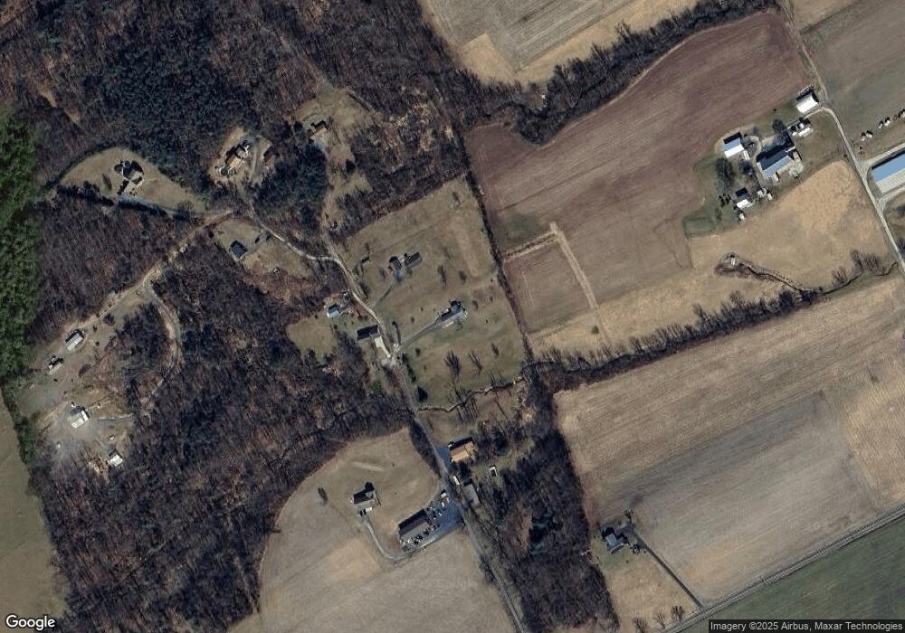
Map
Nearby Homes
- 9487 Us Highway 522 S
- 924 W 6th St
- 817 W 6th St
- 705-707 W 6th St
- 67 Airport Hill Rd
- 620 W 6th St
- 1470 Middle Rd
- 622 W 5th St
- 616 W 5th St
- 105 Grove Ave
- 409 W 5th St
- Lot 1 Woods Ln
- 4380 Land U S 522
- 277 W 5th St
- 265 W 5th St
- 65 Hillside Dr
- 164 W 4th St
- 12700 Ferguson Valley Rd
- 119 W 4th St
- 363 N Walnut St
- 147 Austin Ln
- 128 Austin Ln
- 001 Austin Ln
- 0 Austin Ln
- ON Austin Ln
- 53 Austin Ln
- 176 Austin Ln
- 58 Austin Ln
- 165 Austin Ln
- 205 Austin Ln
- 11174 Ferguson Valley Rd
- 211 Austin Ln
- 70 Redhawk Ln
- 11146 Ferguson Valley Rd
- 19 Pine Tree Ln
- 6 Snyder Ln
- 11060 Ferguson Valley Rd
- 10 Cherry Hill Ln
- 11029 Ferguson Valley Rd
- 11372 Ferguson Valley Rd