121 Avery Ln Murphysboro, IL 62966
Estimated Value: $218,000 - $395,000
3
Beds
3
Baths
2,390
Sq Ft
$138/Sq Ft
Est. Value
About This Home
This home is located at 121 Avery Ln, Murphysboro, IL 62966 and is currently estimated at $330,070, approximately $138 per square foot. 121 Avery Ln is a home located in Jackson County with nearby schools including Murphysboro High School.
Ownership History
Date
Name
Owned For
Owner Type
Purchase Details
Closed on
Dec 20, 2010
Sold by
Luebbers Robert M
Bought by
Luebbers Robert M and Luebbers Elena Balaita
Current Estimated Value
Purchase Details
Closed on
Dec 15, 2008
Sold by
Willie James H and Willie Diane F
Bought by
Luebbers Robert M
Home Financials for this Owner
Home Financials are based on the most recent Mortgage that was taken out on this home.
Original Mortgage
$171,200
Interest Rate
6.49%
Mortgage Type
New Conventional
Purchase Details
Closed on
Jul 13, 2003
Bought by
Luebbers Robert M
Create a Home Valuation Report for This Property
The Home Valuation Report is an in-depth analysis detailing your home's value as well as a comparison with similar homes in the area
Purchase History
| Date | Buyer | Sale Price | Title Company |
|---|---|---|---|
| Luebbers Robert M | -- | None Available | |
| Luebbers Robert M | $321,000 | None Available | |
| Luebbers Robert M | $203,000 | -- |
Source: Public Records
Mortgage History
| Date | Status | Borrower | Loan Amount |
|---|---|---|---|
| Previous Owner | Luebbers Robert M | $171,200 |
Source: Public Records
Tax History
| Year | Tax Paid | Tax Assessment Tax Assessment Total Assessment is a certain percentage of the fair market value that is determined by local assessors to be the total taxable value of land and additions on the property. | Land | Improvement |
|---|---|---|---|---|
| 2024 | $6,628 | $91,672 | $12,299 | $79,373 |
| 2023 | $6,066 | $81,335 | $10,912 | $70,423 |
| 2022 | $5,615 | $74,551 | $10,002 | $64,549 |
| 2021 | $5,317 | $69,942 | $9,384 | $60,558 |
| 2020 | $5,340 | $69,107 | $9,272 | $59,835 |
| 2019 | $4,898 | $67,905 | $9,111 | $58,794 |
| 2018 | $5,008 | $72,447 | $9,111 | $63,336 |
| 2017 | $5,060 | $72,447 | $9,111 | $63,336 |
| 2016 | $4,983 | $72,447 | $9,111 | $63,336 |
| 2015 | -- | $72,447 | $9,111 | $63,336 |
| 2014 | -- | $68,016 | $9,111 | $58,905 |
| 2012 | -- | $68,016 | $9,111 | $58,905 |
Source: Public Records
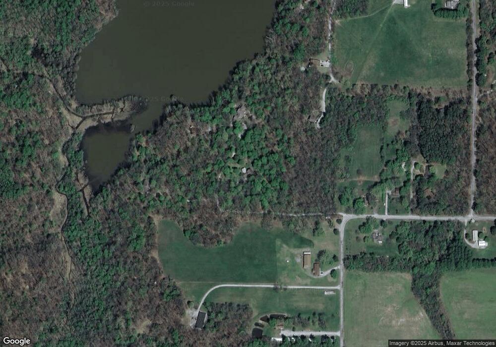
Map
Nearby Homes
- 125 Hide Park Place
- 3898 Country Club Rd
- 8193 Old Highway 13
- 3775 Ariel Dr
- Lot 20 Scotty Dr
- Lot 22 Scotty Dr
- 000 Ariel Dr
- 8650 Old Highway 13
- 8694 Old Highway 13
- 61 Schack Rd
- 8994 Old Highway 13
- 218 Blessing Cir
- 9784 Highway 127
- 40 Crockett Rd
- 600 S Deer Lake Dr W
- 5281 Country Club Rd Unit 21
- 5281 Country Club Rd Unit 1,2,3-12
- 5281 Country Club Rd Unit 2
- 6873 Old Highway 13
- 3105 W Sunset Dr
- 299 Avery Ln
- 289 Avery Ln
- 1 Coastal Rd
- 152 Avery Ln
- 4772 Chautauqua Rd
- 71 Coastal Rd
- 4856 Chautauqua Rd
- 4761 Chautauqua Rd
- 4736 Chautauqua Rd
- 4882 Chautauqua Rd
- 1 E Lake Dr
- 1 E Lake Dr
- 4720 Chautauqua Rd
- 4716 Chautauqua Rd
- 18 Lake Dr
- 39 Lake Dr
- 121 Pump House Rd
- 4645 Chautauqua Rd
- 10 E Lake Dr
- - Chautauqua Rd
Your Personal Tour Guide
Ask me questions while you tour the home.