121 Avery Ln Murphysboro, IL 62966
Estimated Value: $227,000 - $419,000
About This Home
This home is located at 121 Avery Ln, Murphysboro, IL 62966 and is currently estimated at $342,164, approximately $143 per square foot. 121 Avery Ln is a home located in Jackson County with nearby schools including Murphysboro High School.
Ownership History
We collect this data history from publicly available records. To have your information removed, we recommend requesting removal directly through your county’s website.
Purchase Details
Purchase Details
Home Financials for this Owner
Home Financials are based on the most recent Mortgage that was taken out on this home.Purchase Details
Purchase History
We collect this data history from publicly available records. To have your information removed, we recommend requesting removal directly through your county’s website.
| Date | Buyer | Sale Price | Title Company |
|---|---|---|---|
| -- | None Available | ||
| $321,000 | None Available | ||
| $203,000 | -- |
Mortgage History
We collect this data history from publicly available records. To have your information removed, we recommend requesting removal directly through your county’s website.
| Date | Status | Borrower | Loan Amount |
|---|---|---|---|
| Previous Owner | $171,200 |
Tax History
We collect this data history from publicly available records. To have your information removed, we recommend requesting removal directly through your county’s website.
| Year | Tax Paid | Tax Assessment Tax Assessment Total Assessment is a certain percentage of the fair market value that is determined by local assessors to be the total taxable value of land and additions on the property. | Land | Improvement |
|---|---|---|---|---|
| 2024 | $6,628 | $91,672 | $12,299 | $79,373 |
| 2023 | $6,066 | $81,335 | $10,912 | $70,423 |
| 2022 | $5,615 | $74,551 | $10,002 | $64,549 |
| 2021 | $5,317 | $69,942 | $9,384 | $60,558 |
| 2020 | $5,340 | $69,107 | $9,272 | $59,835 |
| 2019 | $4,898 | $67,905 | $9,111 | $58,794 |
| 2018 | $5,008 | $72,447 | $9,111 | $63,336 |
| 2017 | $5,060 | $72,447 | $9,111 | $63,336 |
| 2016 | $4,983 | $72,447 | $9,111 | $63,336 |
| 2015 | -- | $72,447 | $9,111 | $63,336 |
| 2014 | -- | $68,016 | $9,111 | $58,905 |
| 2012 | -- | $68,016 | $9,111 | $58,905 |
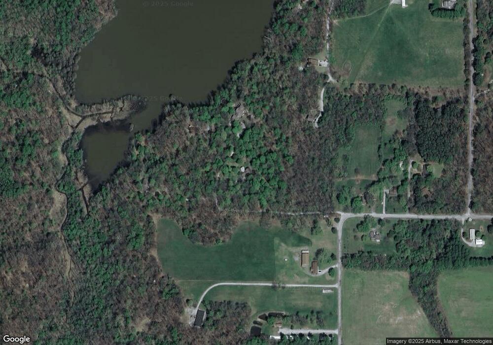
Map
- 116 Amethyst Rd
- 3917 Country Club Rd
- 8193 Old Highway 13
- 3775 Ariel Dr
- Lot 20 Scotty Dr
- Lot 22 Scotty Dr
- 8650 Old Highway 13
- 8694 Old Highway 13
- 61 Schack Rd
- 218 Blessing Cir
- 40 Crockett Rd
- 3201 Foxberry Cir
- 600 S Deer Lake Dr W
- 880 Sycamore Rd
- 10262 Highway 127
- 3007 W Kent Dr
- 3 Brock Ln
- 6459 Old Highway 13
- 3115 W Striegel Rd
- 00 Parrish Ln
- 299 Avery Ln
- 289 Avery Ln
- 1 Coastal Rd
- 152 Avery Ln
- 4772 Chautauqua Rd
- 71 Coastal Rd
- 4856 Chautauqua Rd
- 4761 Chautauqua Rd
- 4736 Chautauqua Rd
- 4882 Chautauqua Rd
- 1 E Lake Dr
- 1 E Lake Dr
- 4720 Chautauqua Rd
- 4716 Chautauqua Rd
- 18 Lake Dr
- 39 Lake Dr
- 121 Pump House Rd
- 4645 Chautauqua Rd
- 10 E Lake Dr
- - Chautauqua Rd
Ask me questions while you tour the home.