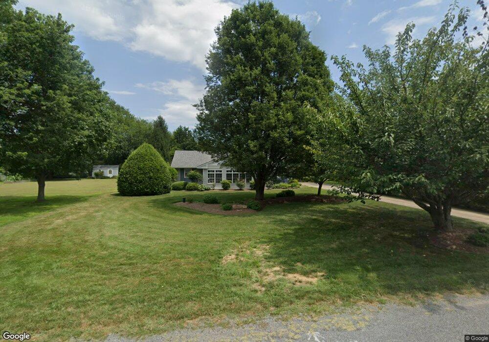
121 Bay Dr Stevensville, MD 21666
Estimated Value: $333,890 - $415,000
Studio
2
Baths
1,200
Sq Ft
$315/Sq Ft
Est. Value
About This Home
This home is located at 121 Bay Dr, Stevensville, MD 21666 and is currently estimated at $377,723, approximately $314 per square foot. 121 Bay Dr is a home located in Queen Anne's County with nearby schools including Matapeake Elementary School, Matapeake Middle School, and Kent Island High School.
Ownership History
Date
Name
Owned For
Owner Type
Purchase Details
Closed on
Dec 27, 1996
Sold by
Martin Robert E and Martin Vicki M
Bought by
Hoffman Joan C
Current Estimated Value
Purchase Details
Closed on
Nov 13, 1990
Sold by
Jaka Brian A
Bought by
Martin Robert E and Martin Vicki M
Home Financials for this Owner
Home Financials are based on the most recent Mortgage that was taken out on this home.
Original Mortgage
$25,000
Interest Rate
10.09%
Purchase Details
Closed on
Oct 10, 1990
Sold by
Showalter Stephen L
Bought by
Jaka Brian A
Home Financials for this Owner
Home Financials are based on the most recent Mortgage that was taken out on this home.
Original Mortgage
$25,000
Interest Rate
10.09%
Create a Home Valuation Report for This Property
The Home Valuation Report is an in-depth analysis detailing your home's value as well as a comparison with similar homes in the area
Purchase History
| Date | Buyer | Sale Price | Title Company |
|---|---|---|---|
| Hoffman Joan C | $125,000 | -- | |
| Martin Robert E | $119,900 | -- | |
| Jaka Brian A | $87,200 | -- |
Source: Public Records
Mortgage History
| Date | Status | Borrower | Loan Amount |
|---|---|---|---|
| Previous Owner | Martin Robert E | $25,000 |
Source: Public Records
Tax History
| Year | Tax Paid | Tax Assessment Tax Assessment Total Assessment is a certain percentage of the fair market value that is determined by local assessors to be the total taxable value of land and additions on the property. | Land | Improvement |
|---|---|---|---|---|
| 2025 | $2,762 | $301,667 | $0 | $0 |
| 2024 | $2,626 | $280,033 | $0 | $0 |
| 2023 | $2,494 | $258,400 | $150,900 | $107,500 |
| 2022 | $2,464 | $255,167 | $0 | $0 |
| 2021 | $2,402 | $251,933 | $0 | $0 |
| 2020 | $2,402 | $248,700 | $147,000 | $101,700 |
| 2019 | $2,289 | $235,933 | $0 | $0 |
| 2018 | $2,181 | $223,167 | $0 | $0 |
| 2017 | $2,078 | $210,400 | $0 | $0 |
| 2016 | -- | $210,400 | $0 | $0 |
| 2015 | $951 | $210,400 | $0 | $0 |
| 2014 | $951 | $221,700 | $0 | $0 |
Source: Public Records
Map
Nearby Homes
- 114 Birch Rd
- 0 Bay Dr Unit MDQA2016060
- 0 Bay Dr Unit MDQA2016058
- Lot 7 Maple Rd
- 103 Chesapeake Estates Dr
- 1709 Batts Neck Rd
- 119 Kentmorr Rd
- 200 Orchid St
- 0 Allen Ave
- 114 Queens Colony High Rd
- 511 Chesapeake Ave
- 312 Queens Colony High Rd
- 303 Queens Colony High Rd
- 410 5 Farms Dr
- 412 Five Farms Dr
- 312 Columbia Ln
- 100 Eareckson Ln
- 116 Mallard Dr
- 122 Mallard Dr
- 1000 Chesapeake Dr