121 Birch Island Rd Webster, MA 01570
Estimated Value: $556,000 - $793,000
1
Bed
3
Baths
1,530
Sq Ft
$446/Sq Ft
Est. Value
About This Home
This home is located at 121 Birch Island Rd, Webster, MA 01570 and is currently estimated at $683,067, approximately $446 per square foot. 121 Birch Island Rd is a home located in Worcester County with nearby schools including Park Avenue Elementary School, Webster Middle School, and Bartlett High School.
Ownership History
Date
Name
Owned For
Owner Type
Purchase Details
Closed on
Apr 29, 2016
Sold by
Pratt Erin C
Bought by
Bunnewith Jeffrey J
Current Estimated Value
Purchase Details
Closed on
Apr 24, 2007
Sold by
Bunnewith Jeffrey J
Bought by
Pratt Erin C and Bunnewith Jeffrey J
Purchase Details
Closed on
Jun 16, 2000
Sold by
Boutiette Patricia and Fitzpatrick Ruth A
Bought by
Bunnewith Jeffrey J
Home Financials for this Owner
Home Financials are based on the most recent Mortgage that was taken out on this home.
Original Mortgage
$140,000
Interest Rate
8.24%
Mortgage Type
Purchase Money Mortgage
Create a Home Valuation Report for This Property
The Home Valuation Report is an in-depth analysis detailing your home's value as well as a comparison with similar homes in the area
Home Values in the Area
Average Home Value in this Area
Purchase History
| Date | Buyer | Sale Price | Title Company |
|---|---|---|---|
| Bunnewith Jeffrey J | -- | -- | |
| Pratt Erin C | -- | -- | |
| Bunnewith Jeffrey J | $190,000 | -- |
Source: Public Records
Mortgage History
| Date | Status | Borrower | Loan Amount |
|---|---|---|---|
| Previous Owner | Bunnewith Jeffrey J | $140,000 | |
| Previous Owner | Bunnewith Jeffrey J | $140,000 |
Source: Public Records
Tax History Compared to Growth
Tax History
| Year | Tax Paid | Tax Assessment Tax Assessment Total Assessment is a certain percentage of the fair market value that is determined by local assessors to be the total taxable value of land and additions on the property. | Land | Improvement |
|---|---|---|---|---|
| 2025 | $8,116 | $683,200 | $366,000 | $317,200 |
| 2024 | $7,643 | $627,500 | $318,500 | $309,000 |
| 2023 | $7,346 | $587,700 | $303,200 | $284,500 |
| 2022 | $6,979 | $499,900 | $269,700 | $230,200 |
| 2021 | $7,132 | $472,300 | $269,700 | $202,600 |
| 2020 | $7,075 | $469,800 | $269,700 | $200,100 |
| 2019 | $7,138 | $465,600 | $269,700 | $195,900 |
| 2018 | $6,884 | $447,300 | $269,700 | $177,600 |
| 2017 | $6,609 | $436,800 | $273,200 | $163,600 |
| 2016 | $5,983 | $395,200 | $235,300 | $159,900 |
| 2015 | $5,806 | $395,500 | $230,700 | $164,800 |
Source: Public Records
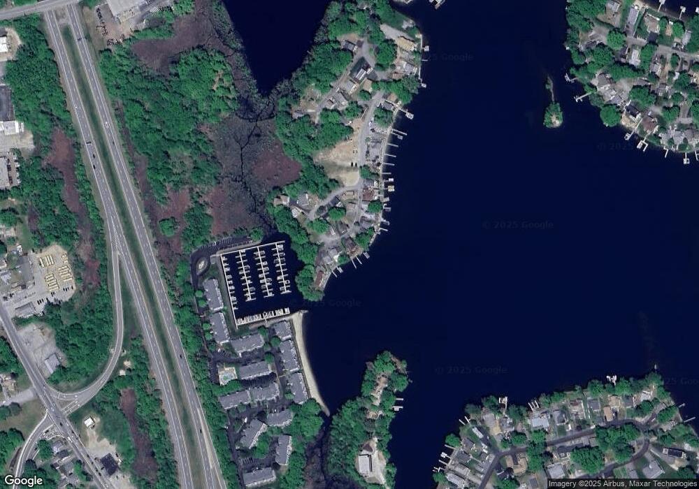
Map
Nearby Homes
- 125 Birch Island Rd
- 1001 Treasure Island Rd Unit 1001
- 322 Killdeer Rd
- 22 Union Point Rd
- 274 Killdeer Rd
- 302 Killdeer Rd
- 0 Thompson Rd
- 45 Tower St Unit B
- 194 Killdeer Rd
- 45 Point Pleasant Rd
- 107 Lake St Unit B
- 12 Tower St
- 12 West Ave Unit B
- 69 Lake St
- 5 Robinson St
- 27 Lakeview Rd
- 23 Lakeview Rd
- 31 Bay View Rd
- 48 Lake St
- 20 Lakeview Rd
- 119 Birch Island Rd
- 117 Birch Island Rd
- Lot F Cedar Dr
- Lot D Cedar Dr
- 129 Birch Island Rd
- 114 Birch Island Rd
- 115 Birch Island Rd
- 115 Birch Island Rd Unit 115
- 7 Cedar Dr
- LOT E Cedar Dr
- 113 Birch Island Rd
- 3 Cedar Dr
- 131 Birch Island Rd
- 1 Cedar Dr
- 1 Cedar Dr
- 111 Birch Island Rd
- 2-A Cedar Dr
- 0 Cedar Dr
- 3 Lots Cedar Dr
- 109 Birch Island Rd