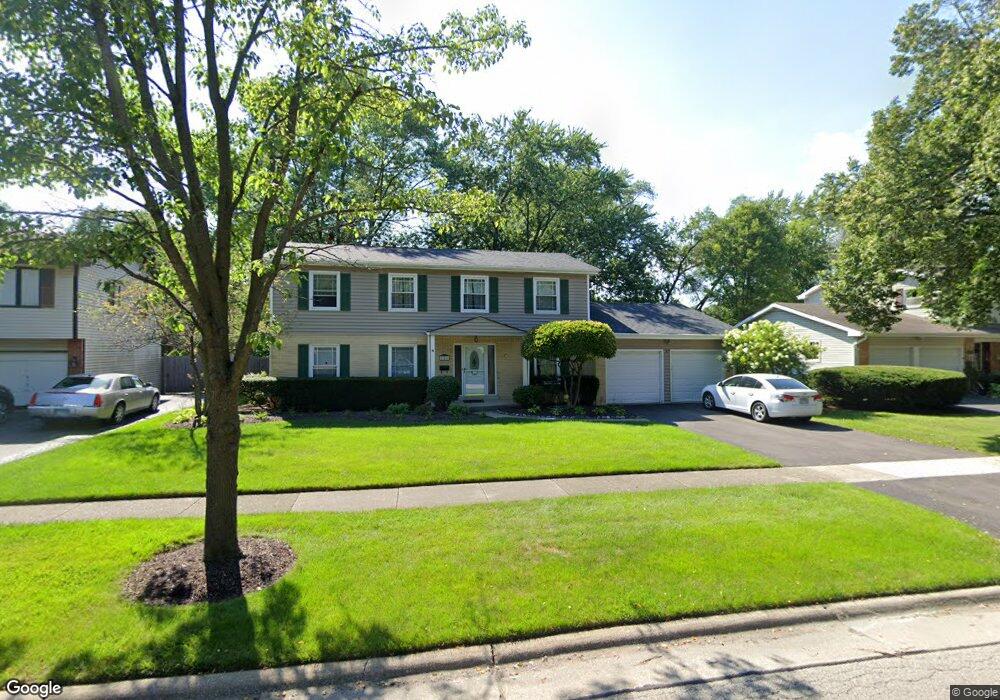
121 Blueberry Rd Libertyville, IL 60048
Estimated Value: $577,000 - $650,000
4
Beds
3
Baths
2,310
Sq Ft
$263/Sq Ft
Est. Value
About This Home
This home is located at 121 Blueberry Rd, Libertyville, IL 60048 and is currently estimated at $608,641, approximately $263 per square foot. 121 Blueberry Rd is a home located in Lake County with nearby schools including Butterfield School, Highland Middle School, and Libertyville High School.
Ownership History
Date
Name
Owned For
Owner Type
Purchase Details
Closed on
Aug 29, 2003
Sold by
Shadow Creek Vernon Hills Llc
Bought by
Kb Home Illinois Inc
Current Estimated Value
Purchase Details
Closed on
Oct 29, 1999
Sold by
Ahern Robert W and Ahern Caryn E
Bought by
Johnson Alan A and Johnson Nancy D
Home Financials for this Owner
Home Financials are based on the most recent Mortgage that was taken out on this home.
Original Mortgage
$158,500
Interest Rate
7.72%
Create a Home Valuation Report for This Property
The Home Valuation Report is an in-depth analysis detailing your home's value as well as a comparison with similar homes in the area
Home Values in the Area
Average Home Value in this Area
Purchase History
| Date | Buyer | Sale Price | Title Company |
|---|---|---|---|
| Kb Home Illinois Inc | $6,857,000 | -- | |
| Johnson Alan A | $215,000 | -- |
Source: Public Records
Mortgage History
| Date | Status | Borrower | Loan Amount |
|---|---|---|---|
| Previous Owner | Johnson Alan A | $158,500 |
Source: Public Records
Tax History Compared to Growth
Tax History
| Year | Tax Paid | Tax Assessment Tax Assessment Total Assessment is a certain percentage of the fair market value that is determined by local assessors to be the total taxable value of land and additions on the property. | Land | Improvement |
|---|---|---|---|---|
| 2024 | $10,479 | $151,914 | $69,809 | $82,105 |
| 2023 | $10,479 | $140,117 | $64,388 | $75,729 |
| 2022 | $10,323 | $137,080 | $61,888 | $75,192 |
| 2021 | $9,934 | $134,129 | $60,556 | $73,573 |
| 2020 | $9,556 | $131,874 | $59,538 | $72,336 |
| 2019 | $9,319 | $130,620 | $58,972 | $71,648 |
| 2018 | $8,666 | $126,036 | $53,203 | $72,833 |
| 2017 | $8,541 | $122,057 | $51,523 | $70,534 |
| 2016 | $8,244 | $115,727 | $48,851 | $66,876 |
| 2015 | $8,151 | $108,166 | $45,659 | $62,507 |
| 2014 | $7,616 | $104,622 | $44,163 | $60,459 |
| 2012 | $7,369 | $100,505 | $42,425 | $58,080 |
Source: Public Records
Map
Nearby Homes
- 1137 Pine Tree Ln
- 223 Kenloch Ave
- 1330 W Park Ave
- 20924 & 20902 W Park Ave
- 533 Drake St
- 551 W Park Ave Unit E
- 423 Ames St
- 0 Ames St
- 832 Interlaken Ln
- 308 Mckinley Ave
- 420 W Cook Ave
- 505 Lange Ct
- 212 Elm Ct
- 1754 Glenmore Rd
- 777 Garfield Ave Unit A
- 747 Garfield Ave Unit C
- 694 Parkside Ct
- 619 Parkside Ct
- 662 Parkside Ct
- 1017 Juniper Pkwy
- 127 Blueberry Rd
- 115 Blueberry Rd
- 218 N Butterfield Rd
- 214 N Butterfield Rd
- 133 Blueberry Rd
- 228 N Butterfield Rd
- 122 Blueberry Rd
- 109 Blueberry Rd
- 234 N Butterfield Rd
- 210 N Butterfield Rd
- 139 Blueberry Rd
- 138 Blueberry Rd
- 238 N Butterfield Rd
- 136 Pond Ridge Rd
- 144 Blueberry Rd
- 145 Blueberry Rd
- 244 N Butterfield Rd
- 143 Pond Ridge Rd
- 215 N Butterfield Rd
- 144 Pond Ridge Rd